world.wikisort.org - France
Agonges (French pronunciation: [aɡɔ̃ʒ]) is a commune in the Allier department in the Auvergne-Rhône-Alpes region of central France.
Agonges | |
|---|---|
Commune | |
 The Town Hall and Post Office | |
Location of Agonges  | |
 Agonges  Agonges | |
| Coordinates: 46°36′25″N 3°09′33″E | |
| Country | France |
| Region | Auvergne-Rhône-Alpes |
| Department | Allier |
| Arrondissement | Moulins |
| Canton | Souvigny |
| Intercommunality | Bocage Bourbonnais |
| Government | |
| • Mayor (2020–2026) | Romain Juge |
| Area 1 | 24.1 km2 (9.3 sq mi) |
| Population | 309 |
| • Density | 13/km2 (33/sq mi) |
| Time zone | UTC+01:00 (CET) |
| • Summer (DST) | UTC+02:00 (CEST) |
| INSEE/Postal code | 03002 /03210 |
| Elevation | 204–266 m (669–873 ft) (avg. 228 m or 748 ft) |
| 1 French Land Register data, which excludes lakes, ponds, glaciers > 1 km2 (0.386 sq mi or 247 acres) and river estuaries. | |
The inhabitants of the commune are known as Agongeois or Agongeoises.[2]
Geography
Agonges is located some 15 km north-west of Moulins and 50 km south of Nevers. It can be accessed by several roads: the D58 from Saint-Menoux in the south passes through the village and continues north, the D133 comes from the D953 in the south-west to the village and continues north-east to Bagneux, the D54 comes from Franchesse in the north-west to the village then continues east to join the D13, the D139 comes from Couzon in the north to join the D54 in the commune, and the D13 passes through the north-eastern corner of the commune. The commune consists entirely of farmland with numerous hamlets other than the village.[3]
The hamlets are:
- Chateau de Beaumont
- Chateau de Breuil
- Chateau du Monceau
- Fontenay
- Grand Langeron
- Grand Monceau
- La Coulette
- La Croix Peyre
- La Loire
- La Raymonerie
- La Vallette
- Lafont
- Lalue
- L'Augere
- Lavault
- Le Breuron
- Le Lieu Jobier
- Le Moulin Rateau
- Le Pingon
- Le Plaix
- Les Brosses
- Les Carrons
- Les Fourches
- Les Regnauds
- Les Sacrots
- Les Sodais
- Les Tarnissats
- Petit Langeron
- Petit Monceau
- Retif
The Ours river flows through the commune from the south passing west of the village and continuing north to join the Burge which forms part of the northern border. There are small lakes in the north of the commune that link to the Burge. The Burge continues north to join the Allier south of Le Port Barreau.[3]
Neighbouring communes and villages
Places adjacent to Agonges | |
|---|---|
History
In 1807 the former commune of Breuil merged with Agonges.
Administration
This list is incomplete; you can help by adding missing items. (April 2021) |
List of Successive Mayors of Agonges[4]
| From | To | Name | Party |
|---|---|---|---|
| 1977 | 2014 | Guy Juge | PCF |
| 2014 | Current | Romain Juge[5] | DVG |
Population
|
| ||||||||||||||||||||||||||||||||||||||||||||||||||||||||||||||||||||||||||||||||||||||||||||||||||||||||||||||||||
| Source: EHESS[6] and INSEE[7] | |||||||||||||||||||||||||||||||||||||||||||||||||||||||||||||||||||||||||||||||||||||||||||||||||||||||||||||||||||
Culture and heritage
Civil heritage
The commune has a number of buildings and structures that are registered as historical monuments:
- The Chateau of Sacrots (17th century)
 [8]
[8] - The Chateau of La Pommeraye (15th century)[9] is in a manor park from the 18th century equipped with round towers in the style of the 15th century.
- The Chateau of Augère (Middle Ages)[10] has a medieval dungeon covered with a roof extended by a Gothic building in the 19th century and still has a moat.
- The Domain of Epine (15th century),[11] a rare example of a fortified domain from the 14th century in Bourbonnais.
- The Chateau of Echardons (1792)[12] was rebuilt in 1792 and it remains the only castle with two towers and a dovecote.
- The Chateau of Beaumont (1740)[13] was rebuilt in 1740 on the site of a fortified castle of which only a tower and a dovecote remain.
- The Chateau of Beaumont Park (20th century)[14]
- The Chateau of Echardons Park (20th century).[15] The park is centred on a lane from the early 20th century.
- The Park of La Tuilerie[16]
- The Park of La Pommeraie (20th century)[17]
- The Saulneraie Garden[18]
- The Laugère Park (19th century)[19]
- Châteaux Picture Gallery
 Domain of Épine A
 Domain of Épine B
 Domain of Épine C
 Domain of Épine D
 Château of Augère
 Facade of the Château of Augère


Religious heritage
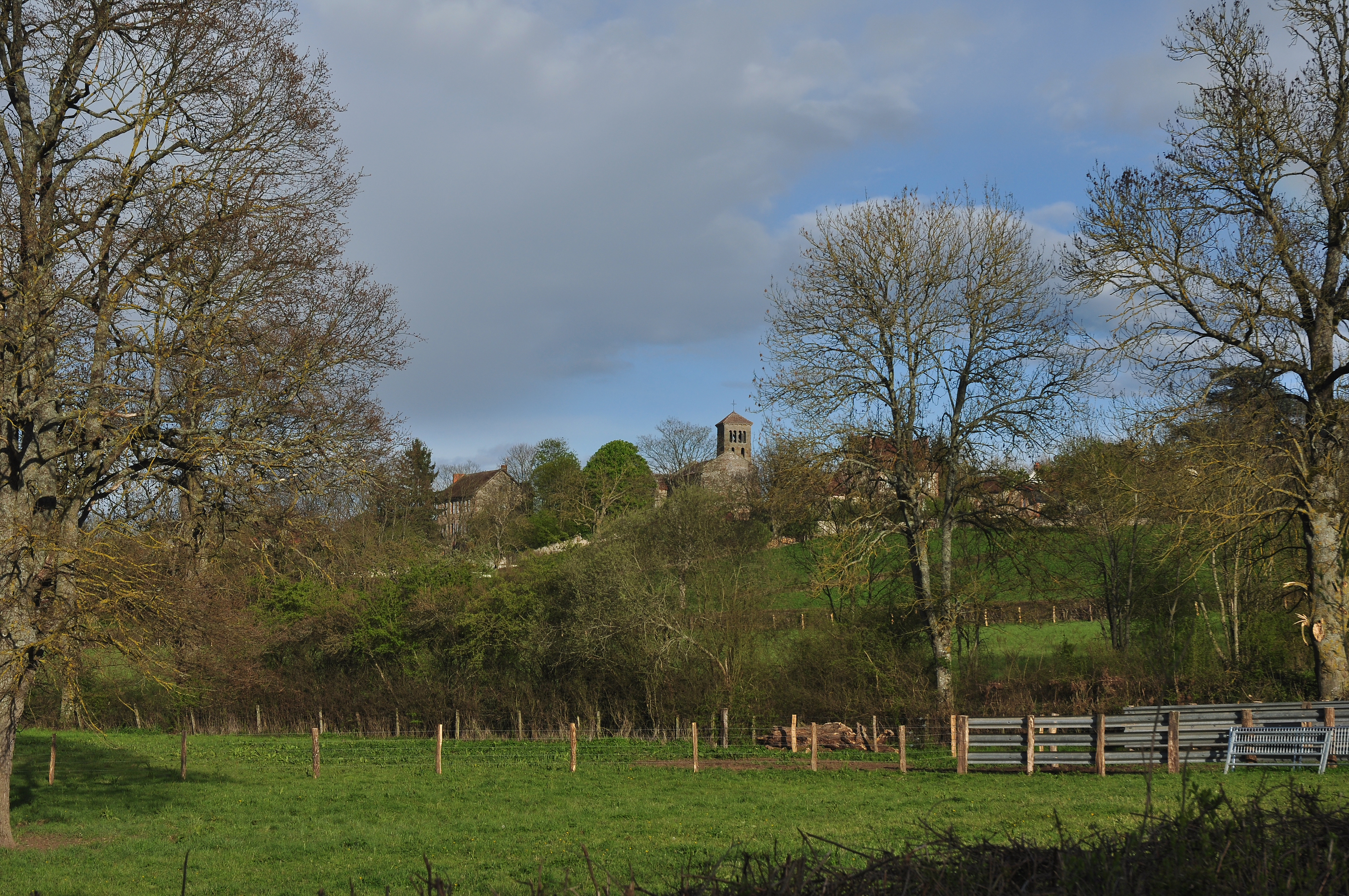
The Church of Notre-Dame (12th century)![]() is registered as an historical monument.[20][21] It contains a Bronze Bell (1578)
is registered as an historical monument.[20][21] It contains a Bronze Bell (1578)![]() that is registered as an historical object.[22]
that is registered as an historical object.[22]
- Church of Notre Dame Picture Gallery
 View of the Church of Notre Dame
 Church of Notre Dame
 Entrance to the Church
 Detail on the west portal
 Stone sculptures on the bell tower representing a hunt
 The nave of the church
 The chevet of the church


Notable People linked to the commune
- François Dalphonse (1756-1821), politician, MP for Allier, owner of Beaumont Castle where he died
- Jean Bardin, radio host
See also
External links
- Agonges on the old National Geographic Institute website (in French)
- Agonges on Géoportail, National Geographic Institute (IGN) website (in French)
- Agonges on the 1750 Cassini Map
- High-resolution 360° Panoramas and Images of The Church of Notre-Dame | Art Atlas
References
- "Populations légales 2019". The National Institute of Statistics and Economic Studies. 29 December 2021.
- "Agonges (03210)". habitants.fr (in French). SARL Patagos. Retrieved 23 January 2016.
- Google Maps
- List of Mayors of France (in French)
- "Liste nominative des communes de l'Allier" [Nominative list of communes of Allier] (PDF). maires-allier.fr (in French). Association of Mayors and Presidents of Communities of Allier. 8 July 2020. p. 1. Retrieved 29 July 2020.
- Des villages de Cassini aux communes d'aujourd'hui: Commune data sheet Agonges, EHESS. (in French)
- Population en historique depuis 1968, INSEE
- Ministry of Culture, Mérimée PA03000014 Chateau of Sacrots (in French)
- Ministry of Culture, Mérimée PA03000013 Chateau of La Pommeraye (in French)
- Ministry of Culture, Mérimée PA03000006 Chateau of Augère (in French)
- Ministry of Culture, Mérimée PA00093417 Domain of Epine (in French)

- Ministry of Culture, Mérimée PA00092968 Chateau of Echardons (in French)
- Ministry of Culture, Mérimée PA00092967 Chateau of Beaumont (in French)
- Ministry of Culture, Mérimée IA03000229 Chateau of Beaumont Park (in French)
- Ministry of Culture, Mérimée IA03000189 Chateau of Echardons Park (in French)
- Ministry of Culture, Mérimée IA03000188 Park of La Tuilerie (in French)
- Ministry of Culture, Mérimée IA03000187 Park of La Pommeraie (in French)
- Ministry of Culture, Mérimée IA03000184 Saulneraie Garden (in French)
- Ministry of Culture, Mérimée IA03000178 Laugère Park (in French)
- Ministry of Culture, Mérimée PA00092969 Church of Notre-Dame (in French)
- Jean Dupont, Nivernais Bourbonnais roman, p. 316, Éditions Zodiaque (collection "la nuit des temps" No. 45), La Pierre-qui-Vire, 1976 (in French)
- Ministry of Culture, Palissy PM03000001 Bronze bell (in French)
На других языках
[de] Agonges
Agonges ist ein zentralfranzösischer Ort und eine Gemeinde mit 309 Einwohnern (Stand 1. Januar 2019) im Département Allier im Norden der Region Auvergne-Rhône-Alpes.- [en] Agonges
[ru] Агонж
Аго́нж (фр. Agonges) — коммуна во Франции, находится в регионе Овернь. Департамент коммуны — Алье. Входит в состав кантона Сувиньи. Округ коммуны — Мулен.Другой контент может иметь иную лицензию. Перед использованием материалов сайта WikiSort.org внимательно изучите правила лицензирования конкретных элементов наполнения сайта.
WikiSort.org - проект по пересортировке и дополнению контента Википедии