world.wikisort.org - Czech
Český Rudolec (German: Böhmisch Rudoletz) is a municipality and village in Jindřichův Hradec District in the South Bohemian Region of the Czech Republic. It has about 900 inhabitants.
Český Rudolec | |
|---|---|
Municipality | |
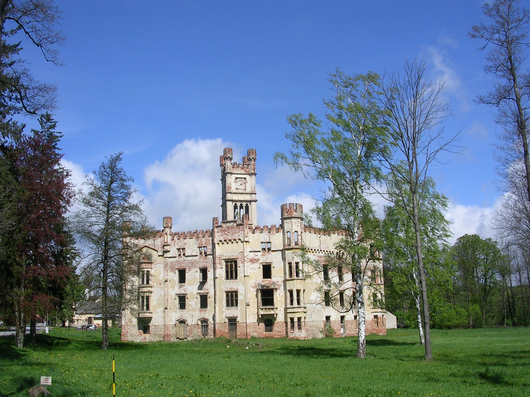 Český Rudolec Castle | |
 Coat of arms | |
 Český Rudolec Location in the Czech Republic | |
| Coordinates: 49°4′6″N 15°19′28″E | |
| Country | |
| Region | South Bohemian |
| District | Jindřichův Hradec |
| First mentioned | 1343 |
| Area | |
| • Total | 49.28 km2 (19.03 sq mi) |
| Elevation | 511 m (1,677 ft) |
| Population (2022-01-01)[1] | |
| • Total | 892 |
| • Density | 18/km2 (47/sq mi) |
| Time zone | UTC+1 (CET) |
| • Summer (DST) | UTC+2 (CEST) |
| Postal codes | 378 53, 378 81, 378 83, 380 01 |
| Website | www |
Český Rudolec lies approximately 26 kilometres (16 mi) east of Jindřichův Hradec, 63 km (39 mi) east of České Budějovice, and 131 km (81 mi) south-east of Prague.
Administrative parts
Villages of Horní Radíkov, Lipnice, Markvarec, Matějovec, Nová Ves, Nový Svět, Radíkov, Rožnov and Stoječín are administrative parts of Český Rudolec.
References
- "Population of Municipalities – 1 January 2022". Czech Statistical Office. 2022-04-29.
Wikimedia Commons has media related to Český Rudolec.
Authority control | |
|---|---|
| General |
|
| National libraries | |
This South Bohemian Region location article is a stub. You can help Wikipedia by expanding it. |
На других языках
[de] Český Rudolec
Český Rudolec (deutsch Böhmisch Rudoletz) ist eine Gemeinde mit ca. 950 Einwohnern im südlichen Tschechien knapp östlich der historischen Grenze zwischen Böhmen und Mähren, unweit der Grenze zu Niederösterreich. Das Dorf liegt neun Kilometer westlich von Dačice und gehört zum Okres Jindřichův Hradec. Der Ort ist als Längsangerdorf angelegt.- [en] Český Rudolec
Текст в блоке "Читать" взят с сайта "Википедия" и доступен по лицензии Creative Commons Attribution-ShareAlike; в отдельных случаях могут действовать дополнительные условия.
Другой контент может иметь иную лицензию. Перед использованием материалов сайта WikiSort.org внимательно изучите правила лицензирования конкретных элементов наполнения сайта.
Другой контент может иметь иную лицензию. Перед использованием материалов сайта WikiSort.org внимательно изучите правила лицензирования конкретных элементов наполнения сайта.
2019-2026
WikiSort.org - проект по пересортировке и дополнению контента Википедии
WikiSort.org - проект по пересортировке и дополнению контента Википедии