world.wikisort.org - Czech
Klobuky is a municipality and village in Kladno District in the Central Bohemian Region of the Czech Republic. It has about 1,000 inhabitants.
Klobuky | |
|---|---|
Municipality | |
 Klobuky as seen from the menhir | |
 Flag  Coat of arms | |
 Klobuky Location in the Czech Republic | |
| Coordinates: 50°17′39″N 13°59′22″E | |
| Country | |
| Region | Central Bohemian |
| District | Kladno |
| First mention | 1226 |
| Government | |
| • Mayor | Soňa Ottová |
| Area | |
| • Total | 15.87 km2 (6.13 sq mi) |
| Elevation | 262 m (860 ft) |
| Population (2022-01-01)[1] | |
| • Total | 1,040 |
| • Density | 66/km2 (170/sq mi) |
| Time zone | UTC+1 (CET) |
| • Summer (DST) | UTC+2 (CEST) |
| Postal code | 273 74 |
| Website | www |
Administrative parts
Villages of Čeradice, Kobylníky, Kokovice and Páleček are administrative parts of Klobuky.
Geography
Klobuky lies about 18 kilometres (11 mi) northwest of Kladno and 33 km (21 mi) northwest of Prague. It is located in a flat agricultural landscape of the Lower Eger Table.
Etymology
The name of the village probably derives from its ancient owner or founder named Klobouk (which is also the Czech word for "hat", in old Czech also for "helmet"). Hence the helmet is in the coat of arms adopted in 2005.
History
The first written mention of Klobuky is from 1226, when it was a property of the Doksany convent.[2]
Sights
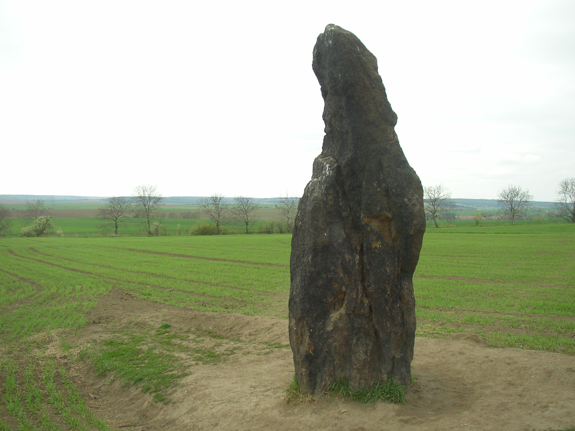
The major local sight is an alleged prehistoric menhir, with a height of 3.3 metres (10.8 ft) the tallest in the Czech Republic. It is an upright, lonely standing stone, called Kamenný pastýř ("stone shepherd") or Kamenný muž ("stone man"), in a field several hundred metres northwest of the village.[3]
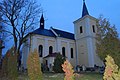
The Church of Saint Lawrence dates back to 14th century, but it was rebuilt in 1729.[2]
Notable people
- Jindřich Šimon Baar (1869–1925), writer; was a priest in Klobuky in 1899–1909
- Jan Malypetr (1873–1947), politician, prime minister of Czechoslovakia
- Ivan Krasko (1876–1958), Slovak poet; worked in local sugar refinery in 1905–1912
- Karel Toman (1877–1946), poet
Gallery
 Church of Saint Lawrence
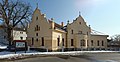 Birth house of Jan Malypetr
 Menhir from the east


References
- "Population of Municipalities – 1 January 2022". Czech Statistical Office. 2022-04-29.
- "Klobuky – historie" (PDF) (in Czech). Obec Klobuky. Retrieved 2022-05-18.
- "Seznam menhirů na území ČR" (in Czech). Cesty k sobě. 2021-07-10. Retrieved 2022-05-30.
External links
- Official website (in Czech)
| Authority control: National libraries |
|---|
На других языках
[de] Klobuky
Klobuky (deutsch Hut, früher auch Klobuk) ist eine Gemeinde in Tschechien. Sie liegt neun Kilometer nordwestlich von Slaný und gehört zum Okres Kladno.- [en] Klobuky
Другой контент может иметь иную лицензию. Перед использованием материалов сайта WikiSort.org внимательно изучите правила лицензирования конкретных элементов наполнения сайта.
WikiSort.org - проект по пересортировке и дополнению контента Википедии