world.wikisort.org - Canada
Port-Cartier is a city in the Côte-Nord region of Quebec, Canada. It is located on the north shore of the Saint Lawrence River at the mouth of the Aux-Rochers River, exactly 63 kilometres (39 mi) southwest of Sept-Îles, Quebec.
Port-Cartier | |
|---|---|
City | |
 | |
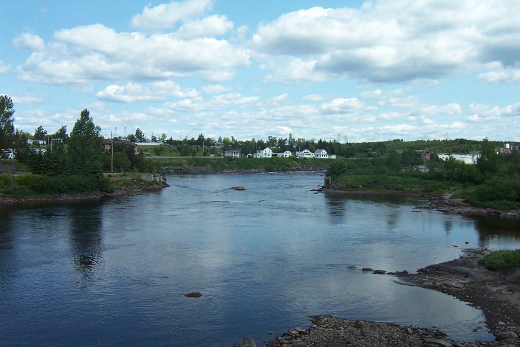
 Port-Cartier Location in Côte-Nord region of Quebec. | |
| Coordinates: 50°02′N 66°52′W[1] | |
| Country | |
| Province | |
| Region | Côte-Nord |
| RCM | Sept-Rivières |
| Settled | 1916 |
| Constituted | February 19, 2003 |
| Government | |
| • Mayor | Alain Thibault |
| • Federal riding | Manicouagan |
| • Prov. riding | Duplessis |
| Area | |
| • Total | 1,353.70 km2 (522.67 sq mi) |
| • Land | 1,101.31 km2 (425.22 sq mi) |
| Population (2011)[3] | |
| • Total | 6,651 |
| • Density | 6.0/km2 (16/sq mi) |
| • Pop 2006-2011 | |
| • Dwellings | 3,093 |
| Time zone | UTC−5 (EST) |
| • Summer (DST) | UTC−4 (EDT) |
| Postal code(s) | G5B |
| Area code(s) | 418 and 581 |
| Highways | |
| Website | www |
Port-Cartier had a population of 6,651 at the 2011 Canadian census.[3] It has a land area of 1,101 square kilometres (425 sq mi), ranking 27th in area among all Canadian cities and towns. Besides Port-Cartier itself, the communities of Rivière-Pentecôte (49°47′N 67°10′W) and Pointe-aux-Anglais are also within its municipal boundaries, all located along Quebec Route 138.
History
In 1915, Colonel Robert R. McCormick, owner of the Chicago Tribune, visited the Rochers River area to evaluate its forest potential. Soon after, a settlement was established on the west side of the mouth of this river, originally called Shelter Bay.[4] The post office opened in 1916, followed by a sawmill in 1918 and a debarking factory of the Ontario Paper Company in 1920. Yet the exhaustion of timber led to the closure of the factory in 1955.[1]
In 1958, the Québec Cartier Mining Company constructed an iron ore processing plant and an artificial sea port near Shelter Bay, for shipping the iron ore mined from deposits at Lake Jeannine near Fermont. Port-Cartier, named after the mining company, was incorporated as a town in 1959 [1] and the next year, Shelter Bay was added to it.[5] The original town of Shelter Bay is now the suburb known as Port-Cartier West.[6] Today, the port handles approximately 18,000,000 tonnes (19,800,000 short tons; 17,700,000 long tons) of cargo per year [4] and ranks third in Quebec in terms of handled tonnage.[1]
Rivière-Pentecôte

In 1875, a mission called Saint-Patrice-de-la-Rivière-Pentecôte was established some 100 km south-west of Sept-Îles at the mouth of the Pentecôte River. This name is attributed to Jacques Cartier who arrived at the place on the day of Pentecost in 1535. In 1884, the "Penticost River" Post Office opened, frenchized to Rivière-Pentecôte in 1933. At the end of the 19th century, it was among the most important industrial centres along the North Shore. In 1972, the Municipality of Rivière-Pentecôte was formed out of unorganized territory.[7]
On February 19, 2003, the Municipality of Rivière-Pentecôte was amalgamated into the city of Port-Cartier.[7]
Jail
The Correctional Service of Canada operates the Port Cartier Institution, a maximum security prison, about two kilometres to the north. Convicted murderers including Russell Williams, Paul Bernardo, Michael Rafferty, Luka Magnotta, Mohammed Shafia, Robert Pickton, Guy Turcotte are among the inmates.[8]
Demographics
| Year | Pop. | ±% |
|---|---|---|
| 1991 | 7,383 | — |
| 1996 | 7,070 | −4.2% |
| 2001 | 6,412 | −9.3% |
| (2003) | 7,034 | +9.7% |
| 2006 | 6,758 | −3.9% |
| 2011 | 6,651 | −1.6% |
Municipality of Rivière-Pentecôte amalgamated into the Town of Port-Cartier on February 19, 2003. | ||

In the 2021 Census of Population conducted by Statistics Canada, Port-Cartier had a population of 6,516 living in 2,918 of its 3,307 total private dwellings, a change of -4.2% from its 2016 population of 6,799. With a land area of 1,092.75 km2 (421.91 sq mi), it had a population density of 6.0/km2 (15.4/sq mi) in 2021.[10]
| 2021 | 2011 | |
|---|---|---|
| Population | 6,516 (-4.2% from 2016) | 6,651 (-1.6% from 2006) |
| Land area | 1,092.75 km2 (421.91 sq mi) | 1,101.31 km2 (425.22 sq mi) |
| Population density | 6/km2 (16/sq mi) | 6.0/km2 (16/sq mi) |
| Median age | 45.2 (M: 44.4, F: 46.4) | 43.1 (M: 42.6, F: 43.5) |
| Total private dwellings | 2,920 | 3,093 |
| Median household income | $70,897 |
Mother tongue:[13]
- English as first language: 1.1%
- French as first language: 97.1%
- English and French as first language: 0%
- Other as first language: 1.8%
See also
- List of cities in Quebec
- Cartier Railway
References
- "Port-Cartier (ville)" (in French). Commission de toponymie du Québec. Retrieved 2010-07-30.
- "Port-Cartier". Répertoire des municipalités (in French). Ministère des Affaires municipales, des Régions et de l'Occupation du territoire. Archived from the original on 2016-03-12. Retrieved 2012-05-07.
- "Port-Cartier census profile". 2011 Census of Population. Statistics Canada. 8 February 2012. Retrieved 2012-05-07.
- Great Lakes St. Lawrence Seaway System : Port Cartier Archived 2007-08-29 at the Wayback Machine
- Encyclopedia Americana, Volume 22. Americana Corp. 1965. p. 378.
- Brookes, Ivan (1974). The lower St. Lawrence: a pictorial history of shipping and industrial development. Freshwater Press. p. 165.
- "Rivière-Pentecôte (municipalité)" (in French). Commission de toponymie du Québec. Retrieved 2010-07-30.
- SUN, Toronto (2013-06-21). "Michael Rafferty joining killers Russell Williams and Paul Bernardo in Quebec prison". Retrieved 2019-01-03.
- Statistics Canada: 1996, 2001, 2006, 2011 census
- "Population and dwelling counts: Canada, provinces and territories, and census subdivisions (municipalities), Quebec". Statistics Canada. February 9, 2022. Retrieved August 29, 2022.
- "2021 Community Profiles". 2021 Canadian Census. Statistics Canada. February 4, 2022. Retrieved 2022-04-27.
- "2011 Community Profiles". 2011 Canadian Census. Statistics Canada. March 21, 2019. Retrieved 2014-01-29.
- "2006 Community Profiles". 2006 Canadian Census. Statistics Canada. August 20, 2019.
- "2001 Community Profiles". 2001 Canadian Census. Statistics Canada. July 18, 2021.
External links
- (in French) Port-Cartier official website
- Québec Cartier Mining Company
- Government of Canada demographic information
- Encyclopædia Britannica entry
Adjacent Municipal Subdivisions | ||||||||||||||||
|---|---|---|---|---|---|---|---|---|---|---|---|---|---|---|---|---|
| ||||||||||||||||
| Administrative units |
| ||||
|---|---|---|---|---|---|
| Protected areas |
| ||||
| Major river basins | |||||
| Significant lakes | |||||
| Transport infrastructure |
| ||||
| |||||
Authority control | |
|---|---|
| General | |
| National libraries | |
На других языках
[de] Port-Cartier
Port-Cartier ist eine Stadt in der Provinz Québec in Kanada.- [en] Port-Cartier
Другой контент может иметь иную лицензию. Перед использованием материалов сайта WikiSort.org внимательно изучите правила лицензирования конкретных элементов наполнения сайта.
WikiSort.org - проект по пересортировке и дополнению контента Википедии