world.wikisort.org - Austria
Sibratsgfäll is a municipality in the district of Bregenz in the Austrian state of Vorarlberg.
This article may be expanded with text translated from the corresponding article in German. (April 2010) Click [show] for important translation instructions.
|
Sibratsgfäll | |
|---|---|
 | |
 Coat of arms | |
 Location in the district | |
 Sibratsgfäll Location within Austria | |
| Coordinates: 47°25′36″N 10°02′17″E | |
| Country | Austria |
| State | Vorarlberg |
| District | Bregenz |
| Government | |
| • Mayor | Konrad Stadelmann |
| Area | |
| • Total | 29.2 km2 (11.3 sq mi) |
| Elevation | 929 m (3,048 ft) |
| Population (2018-01-01)[2] | |
| • Total | 401 |
| • Density | 14/km2 (36/sq mi) |
| Time zone | UTC+1 (CET) |
| • Summer (DST) | UTC+2 (CEST) |
| Postal code | 6952 |
| Area code | 05513 |
| Vehicle registration | B |
| Website | www.sibra.at |
Geography
Sibratsgfäll is located in the westernmost province of Austria, Vorarlberg, in the district of Bregenz, east of Lake Constance, at an altitude of 929 meters. 46.0% of the area is forested, 34.2% mountainous (Alps). The community is located directly on the border with Germany. There are no other cadastral communities in Sibratsgfäll.
The community of Sibratsgfäll borders on two Austrian and two German communities: Hittisau and Egg in the Austrian district of Bregenz, and Balderschwang and Oberstdorf in the Bavarian district of Oberallgäu.
Sibratsgfäll is a member of the Austrian-German joint project Naturpark Nagelfluhkette.
History
The Habsburgs ruled Vorarlberg's villages alternately from Tyrol and Vorderösterreich (Freiburg im Breisgau). From 1805 to 1814 Sibratsgfäll belonged to Bavaria, then reverted to Austria. Sibratsgfäll has belonged to the Austrian state of Vorarlberg since its founding in 1861. The village was part of the French occupation zone in Austria from 1945 to 1955.
Coat of arms
The coat of arms, inspired by a design by the Schruns artist and heraldist Konrad Honold, was created in 1969.
Culture
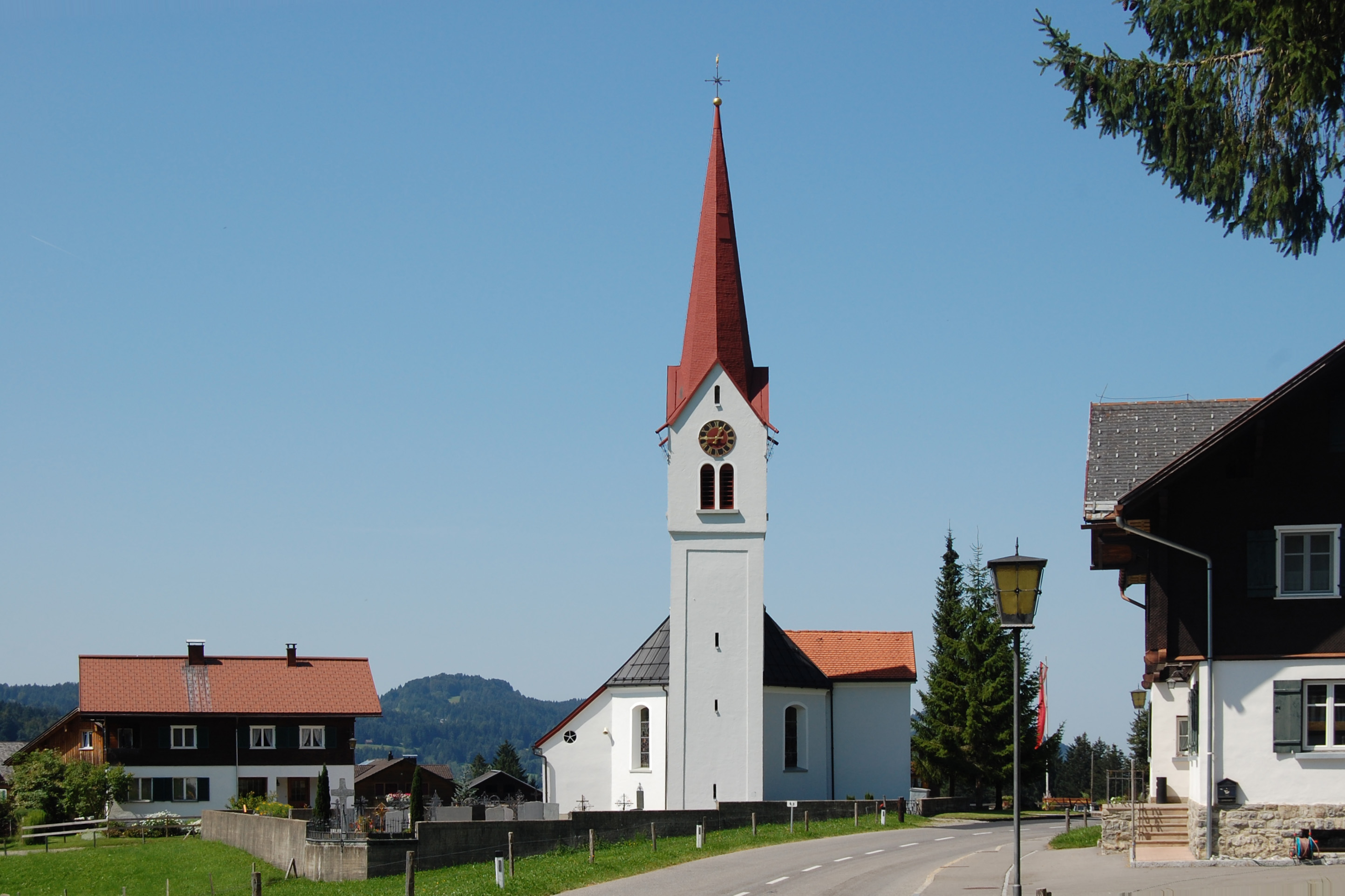
The Sibratsgfäll parish church is dedicated to the Archangel Michael and belongs to the deanery of Vorderwald-Kleinwalsertal. It was first mentioned, as a chapel, in a document from 1732. In 1805, a new church building was built, and later extended in 1845.
Population
| Year | Pop. | ±% |
|---|---|---|
| 1869 | 304 | — |
| 1880 | 352 | +15.8% |
| 1890 | 289 | −17.9% |
| 1900 | 267 | −7.6% |
| 1910 | 284 | +6.4% |
| 1923 | 268 | −5.6% |
| 1934 | 270 | +0.7% |
| 1939 | 256 | −5.2% |
| 1951 | 340 | +32.8% |
| 1961 | 330 | −2.9% |
| 1971 | 308 | −6.7% |
| 1981 | 367 | +19.2% |
| 1991 | 404 | +10.1% |
| 2001 | 422 | +4.5% |
| 2011 | 393 | −6.9% |
External links
References
- "Dauersiedlungsraum der Gemeinden Politischen Bezirke und Bundesländer - Gebietsstand 1.1.2018". Statistics Austria. Retrieved 10 March 2019.
- "Einwohnerzahl 1.1.2018 nach Gemeinden mit Status, Gebietsstand 1.1.2018". Statistics Austria. Retrieved 9 March 2019.
| Bludenz District |
|
|---|---|
| Bregenz District |
|
| Dornbirn District | |
| Feldkirch District | |
Authority control | |
|---|---|
| General |
|
| National libraries | |
This Vorarlberg location article is a stub. You can help Wikipedia by expanding it. |
На других языках
- [en] Sibratsgfäll
[ru] Зибратсгфелль
Зибратсгфелль (нем. Sibratsgfäll) — коммуна (нем. Gemeinde) в Австрии, в федеральной земле Форарльберг.Другой контент может иметь иную лицензию. Перед использованием материалов сайта WikiSort.org внимательно изучите правила лицензирования конкретных элементов наполнения сайта.
WikiSort.org - проект по пересортировке и дополнению контента Википедии