world.wikisort.org - Australia
Cooranga is a rural locality in the Western Downs Region, Queensland, Australia.[2] In the 2016 census, Cooranga had a population of 133 people.[1]
| Cooranga Queensland | |||||||||||||||
|---|---|---|---|---|---|---|---|---|---|---|---|---|---|---|---|
 Cooranga North Presbyterian Church, 2017 | |||||||||||||||
 Cooranga | |||||||||||||||
| Coordinates | 26.8002°S 151.3219°E | ||||||||||||||
| Population | 133 (2016 census)[1] | ||||||||||||||
| • Density | 0.3690/km2 (0.956/sq mi) | ||||||||||||||
| Postcode(s) | 4408 | ||||||||||||||
| Area | 360.4 km2 (139.2 sq mi) | ||||||||||||||
| Time zone | AEST (UTC+10:00) | ||||||||||||||
| Location | |||||||||||||||
| LGA(s) | Western Downs Region | ||||||||||||||
| State electorate(s) | Callide | ||||||||||||||
| Federal division(s) | Maranoa | ||||||||||||||
| |||||||||||||||
Geography
The Dalby–Jandowae Road runs along the western boundary. [3]
History
The locality was named and bounded on 14 September 2001, having been previously the neighbourhood of Cooranga North. The name Cooranga comes from a pastoral run name, which was probably taken from a creek name, reportedly a Kabi language word meaning war spear.[2]

Cooranga North State School opened on 2 February 1914 and closed on 14 July 2003.[4][5] It was at 14 Cooranga North Niagara Road (26.7681°S 151.4074°E).[6][7][8]
Our Lady of Sacred Heart Catholic Church opened on Sunday 11 September 1938 on land donated by Mrs Mary Gertrude O'Brien.[9][10] It was at 152 Cooranga North Niagara Road (26.7566°S 151.4056°E).[11][12] On 28 June 2017 in the middle of the night, the church building was relocated to St Thomas More College in Sunnybank, Brisbane, where it is used as the school's chapel.[13][14] The relocation required two trucks, one for the church body and another for the roof, and the journey was 380 kilometres (240 mi).[11][15][16]
Cooranga North Presbyterian Church opened on Saturday 20 June 1953; however, Presbyterian services had been held in private homes and other local venues since 1914.[17]
In the 2016 census, Cooranga had a population of 133 people.[1]
Education
There are no schools in Cooranga. The nearest primary schools are in Bell, Jandowae, and Jimbour. The nearest secondary schools are in Bell and Jandowae but these provide schooling only to Year 10. For Years 11 and 12, the nearest secondary school is Dalby State High School.[8]
Amenities

The Cooranga North branch of the Queensland Country Women's Association meets at the Cooranga North Memorial Hall at 41 Cooranga North Niagara Road (26.7663°S 151.4057°E).[18]
Cooranga North Presbyterian Church is at 112 Cooranga North Niagara Road (26.7599°S 151.4072°E).[19]
References
- Australian Bureau of Statistics (27 June 2017). "Cooranga (SSC)". 2016 Census QuickStats. Retrieved 20 October 2018.
- "Cooranga – locality in Western Downs Region (entry 47685)". Queensland Place Names. Queensland Government. Retrieved 7 March 2022.
- Cooranga, Queensland (Map). OpenStreetMap. Archived from the original on 12 March 2022. Retrieved 12 March 2022.
- Queensland Family History Society (2010), Queensland schools past and present (Version 1.01 ed.), Queensland Family History Society, ISBN 978-1-921171-26-0
- "Queensland state school - centre closures" (PDF). Queensland Government. 20 August 2013. Archived (PDF) from the original on 20 March 2022. Retrieved 7 April 2022.
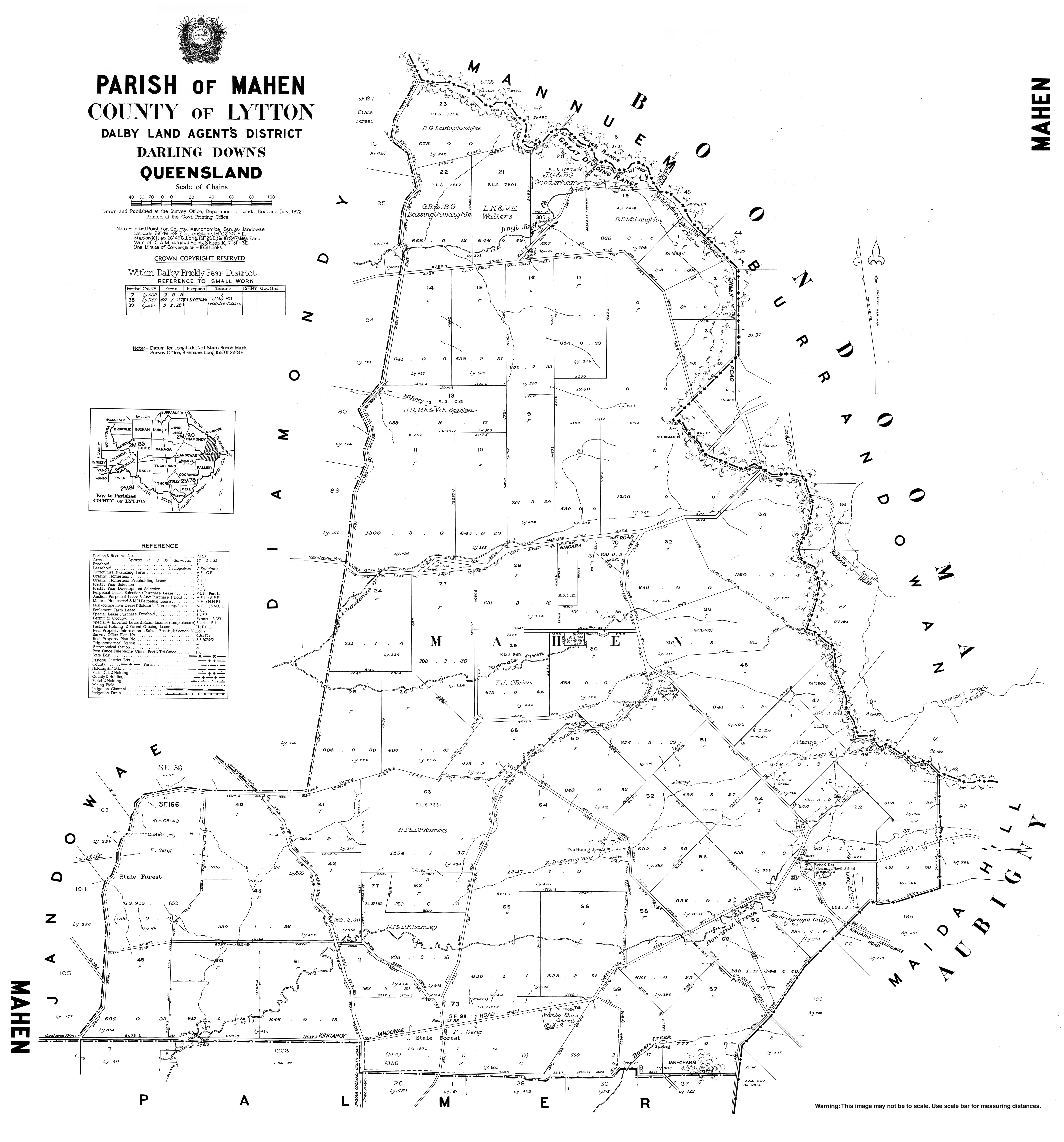
- "Parish of Mahen" (Map). Queensland Government. 1972. Archived from the original on 23 April 2022. Retrieved 24 April 2022.
- "Queensland Two Mile series sheet 2m78" (Map). Queensland Government. 1954. Archived from the original on 23 April 2022. Retrieved 24 April 2022.
- "Queensland Globe". State of Queensland. Retrieved 24 April 2022.
- "DISTRICT NEWS". The Dalby Herald. Queensland, Australia. 14 January 1938. p. 5. Archived from the original on 23 April 2022. Retrieved 24 April 2022 – via National Library of Australia.
- "OBITUARY". The Dalby Herald. Queensland, Australia. 20 January 1939. p. 3. Archived from the original on 23 April 2022. Retrieved 24 April 2022 – via National Library of Australia.
- "Our Lady of Sacred Heart Catholic Church - Former". Churches Australia. Archived from the original on 23 April 2022. Retrieved 23 April 2022.
- Google (January 2008). "Our Lady of the Sacred Heart Catholic Church (former)" (Map). Google Maps. Google. Retrieved 24 April 2022.
- Google (February 2021). "St Thomas More College chapel" (Map). Google Maps. Google. Retrieved 24 April 2022.
- "Our Chapels Journey - from Cooranga to Sunnybank". St Thomas More College, Sunnybank. Archived from the original on 14 March 2022. Retrieved 23 April 2022.
- Blake, Thom. "Our Lady of Sacred Heart". Queensland religious places database. Archived from the original on 23 April 2022. Retrieved 23 April 2022.
- "Cooranga North church that closed in 2013 brought back to life at Brisbane school". The Catholic Leader. 26 July 2017. Archived from the original on 14 May 2021. Retrieved 23 April 2022.
- "COORANGA N. PRESBY. CHURCH DEDICATED". The Dalby Herald. Queensland, Australia. 26 June 1953. p. 6. Archived from the original on 23 April 2022. Retrieved 23 April 2022 – via National Library of Australia.
- "Branch Locations". Queensland Country Women's Association. Archived from the original on 26 December 2018. Retrieved 26 December 2018.
- "Cooranga North Presbyterian Church". Churches Australia. Archived from the original on 23 April 2022. Retrieved 23 April 2022.
External links
![]() Media related to Cooranga, Queensland at Wikimedia Commons
Media related to Cooranga, Queensland at Wikimedia Commons
Другой контент может иметь иную лицензию. Перед использованием материалов сайта WikiSort.org внимательно изучите правила лицензирования конкретных элементов наполнения сайта.
WikiSort.org - проект по пересортировке и дополнению контента Википедии