world.wikisort.org - Australia
Flinton is a rural town and locality in the Western Downs Region, Queensland, Australia.[2][3] In the 2016 census, Flinton had a population of 42 people.[1]
| Flinton Queensland | |||||||||||||||
|---|---|---|---|---|---|---|---|---|---|---|---|---|---|---|---|
 Flinton | |||||||||||||||
| Coordinates | 27.8933°S 149.5569°E | ||||||||||||||
| Population | 42 (2016 census)[1] | ||||||||||||||
| • Density | 0.0738/km2 (0.1912/sq mi) | ||||||||||||||
| Postcode(s) | 4422 | ||||||||||||||
| Area | 568.9 km2 (219.7 sq mi) | ||||||||||||||
| Time zone | AEST (UTC+10:00) | ||||||||||||||
| Location |
| ||||||||||||||
| LGA(s) | Western Downs Region | ||||||||||||||
| State electorate(s) | Warrego | ||||||||||||||
| Federal division(s) | Maranoa | ||||||||||||||
| |||||||||||||||
Geography
The Moonie River flows through Flinton from east (Westmar) to west (St George); the town of Flinton is located just to the north of the river.[4]
The Moonie Highway passes through Flinton from east (Westmar) to south-west; the town is located 5 kilometres (3.1 mi) north of the highway on Flinton Road.[4]
The Ula Ula State Forest is in the southern part of Flinton. Apart from this, the land is used for a mixture of crop growing and grazing on native vegetation.[4]
History
Flinton appears on a survey plan from 20 Sept 1916.[2]
Flinton Provisional School opened on 26 June 1929 and closed in 1935.[5]
In the 2016 census, Flinton had a population of 42 people.[1]
Education
There are no schools in Flinton. The nearest primary schools are Westmar State School in neighbouring Westmar to the east and Teelba State School in neighbouring Teelba to the north-west. The nearest secondary school is St George State High School in neighbouring St George to the south-west, but it is sufficiently far away that distance education or boarding school would be other options.[4]
Attractions
The Flinton Race Club hold horse-racing events at the Flinton Racecourse on Grills Road (27.8879°S 149.5611°E).[6]
References
- Australian Bureau of Statistics (27 June 2017). "Flinton (SSC)". 2016 Census QuickStats. Retrieved 20 October 2018.
- "Flinton – town in Western Downs Region (entry 48130)". Queensland Place Names. Queensland Government. Retrieved 19 September 2020.
- "Flinton – locality in Western Downs Region (entry 50014)". Queensland Place Names. Queensland Government. Retrieved 19 September 2020.
- "Queensland Globe". State of Queensland. Retrieved 29 October 2020.
- Queensland Family History Society (2010), Queensland schools past and present (Version 1.01 ed.), Queensland Family History Society, ISBN 978-1-921171-26-0
- "Flinton Race Club". Racing Queensland. Archived from the original on 1 November 2020. Retrieved 29 October 2020.
External links
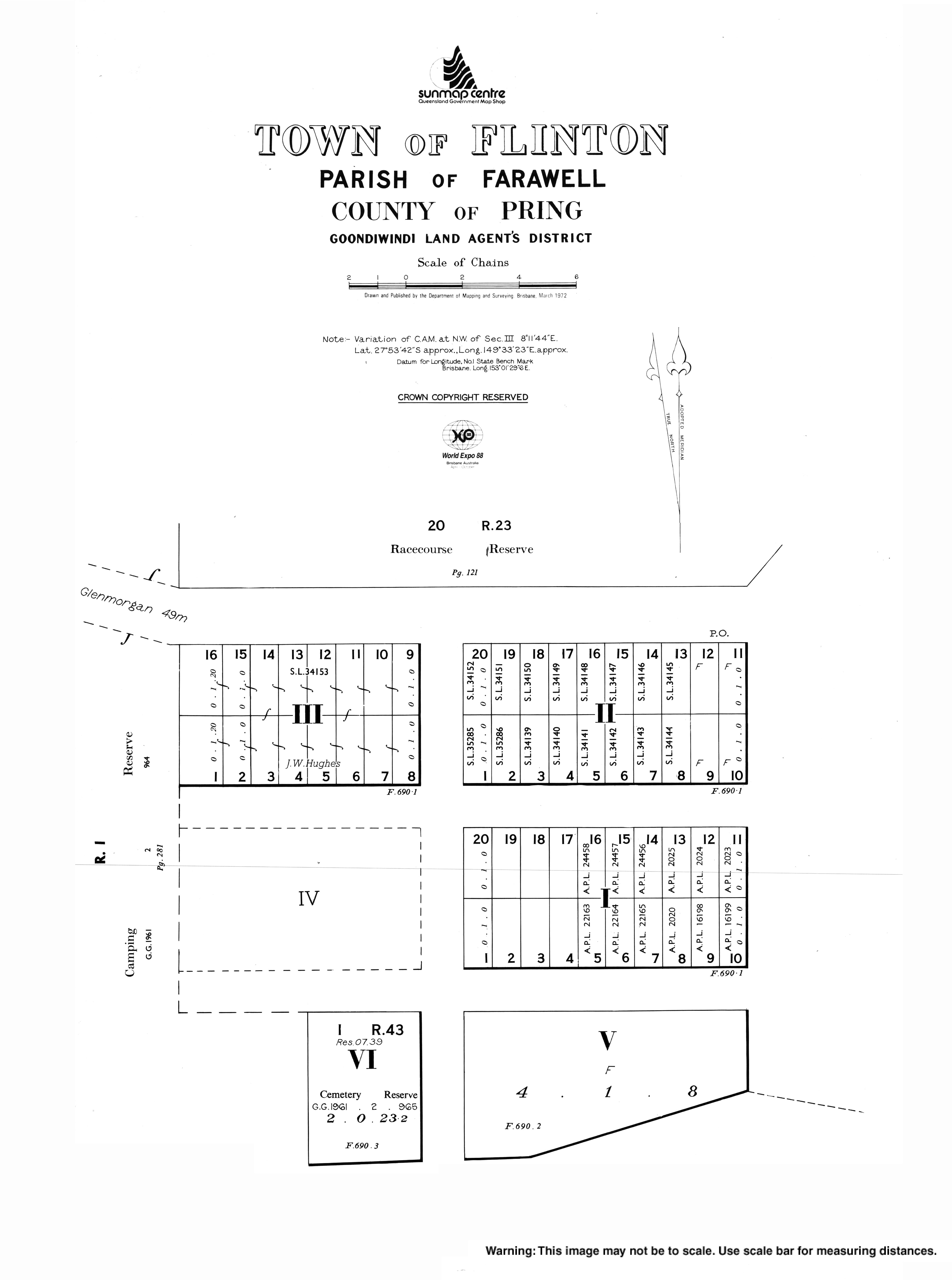
- "Town map of Flinton". Queensland Government. 1972.
Другой контент может иметь иную лицензию. Перед использованием материалов сайта WikiSort.org внимательно изучите правила лицензирования конкретных элементов наполнения сайта.
WikiSort.org - проект по пересортировке и дополнению контента Википедии