world.wikisort.org - Australia
Brandon is a rural town and locality in the Shire of Burdekin, Queensland, Australia.[2][3] In the 2016 census, Brandon had a population of 1,094 people.[1]
| Brandon Queensland | |||||||||||||||
|---|---|---|---|---|---|---|---|---|---|---|---|---|---|---|---|
 Brandon | |||||||||||||||
| Coordinates | 19.5541°S 147.3547°E | ||||||||||||||
| Population | 1,094 (2016 census)[1] | ||||||||||||||
| • Density | 9.900/km2 (25.642/sq mi) | ||||||||||||||
| Postcode(s) | 4808 | ||||||||||||||
| Area | 110.5 km2 (42.7 sq mi) | ||||||||||||||
| Time zone | AEST (UTC+10:00) | ||||||||||||||
| Location |
| ||||||||||||||
| LGA(s) | Shire of Burdekin | ||||||||||||||
| State electorate(s) | Burdekin | ||||||||||||||
| Federal division(s) | Dawson | ||||||||||||||
| |||||||||||||||
History
Brandon was surveyed as a site for a township in 1882 and the first allotments were sold later that year.[4] The town is named after Henry Brandon a sugar pioneer in the Mackay and Lower Burdekin regions.[5] Henry Brandon was also the son-in-law of the colonist, Korah Halcomb Wills.[6]
Brandon Post Office opened on 6 September 1883.[7]
Brandon Provisional School opened in the town on 9 April 1888. It became Brandon State School on 11 July 1898.[8]
Kalamia State School opened beside the Kalamia Sugar Mill on 18 July 1928.[8]
In the 2006 census, the town of Brandon had a population of 783.[9]
In the 2011 census, the locality of Brandon had a population of 1,267 people.[10]
In the 2016 census, the locality of Brandon had a population of 1,094 people.[1]
Heritage listings
Brandon has a number of heritage-listed sites, including:
- 27 Spiller Street: St Patrick's Catholic Church[11]
Economy

Brandon is a sugarcane growing area with underground water supplies to irrigate crops. Wilmar Sugar Australia operates two sugar mills in Brandon, the Kalamia Sugar Mill in the north-east of the locality on Lilliesmere Road beside the Lilliesmere Lagoon (19.5229°S 147.4163°E) and the Pioneer Sugar Mill in the west of the locality on Pioneer Mill Road (19.5583°S 147.3309°E).[12]
Education
Brandon State School is a government primary (Prep-6) school for boys and girls at Drysdale Street (19.5537°S 147.3485°E).[13][14] In 2017, the school had an enrolment of 45 students with 4 teachers and 6 non-teaching staff (4 full-time equivalent).[15]
Kalamia State School is a government primary (Prep-6) school for boys and girls at Lilliesmere Road (19.5185°S 147.4176°E).[13][16] In 2017, the school had an enrolment of 14 students with 1 teacher and 5 non-teaching staff (2 full-time equivalent).[15]
There are no secondary schools in Brandon. The nearest government secondary school is Ayr State High School in neighbouring Ayr to the east.[17]
See also
- List of sugar mills in Queensland
- List of tramways in Queensland
References
- Australian Bureau of Statistics (27 June 2017). "Brandon (SSC)". 2016 Census QuickStats. Retrieved 20 October 2018.
- "Brandon – town in Shire of Burdekin (entry 4348)". Queensland Place Names. Queensland Government. Retrieved 28 November 2019.
- "Brandon – locality in Shire of Burdekin (entry 44667)". Queensland Place Names. Queensland Government. Retrieved 28 November 2019.
- "BURDEKIN RICHEST GEM OF THE NORTH". Townsville Daily Bulletin. Vol. LXIX. Queensland, Australia. 1 September 1948. p. 2. Retrieved 24 July 2020 – via National Library of Australia.
- "Brandon". Queensland Places. Centre for the Government of Queensland. Retrieved 24 July 2020.
- Hall, Glen. "Korah Halcomb Wills". Mackay Mayors. Retrieved 10 June 2020.
- Premier Postal History. "Post Office List". Premier Postal Auctions. Retrieved 10 May 2014.
- Queensland Family History Society (2010), Queensland schools past and present (Version 1.01 ed.), Queensland Family History Society, ISBN 978-1-921171-26-0
- Australian Bureau of Statistics (25 October 2007). "Brandon (L) (Urban Centre/Locality)". 2006 Census QuickStats. Retrieved 27 April 2011.
- Australian Bureau of Statistics (31 October 2012). "Brandon (SSC)". 2011 Census QuickStats. Retrieved 13 January 2016.
- "St Patrick's Catholic Church (former) (entry 600372)". Queensland Heritage Register. Queensland Heritage Council. Retrieved 7 July 2013.
- "Wilmar Sugar Mills - Our Mills". www.wilmarsugarmills.com. Retrieved 27 October 2015.
- "State and non-state school details". Queensland Government. 9 July 2018. Archived from the original on 21 November 2018. Retrieved 21 November 2018.
- "Brandon State School". Retrieved 21 November 2018.
- "ACARA School Profile 2017". Archived from the original on 22 November 2018. Retrieved 22 November 2018.
- "Kalamia State School". Retrieved 21 November 2018.
- "Queensland Globe". State of Queensland. Retrieved 10 August 2021.
External links
- "Brandon". Queensland Places. Centre for the Government of Queensland, University of Queensland.
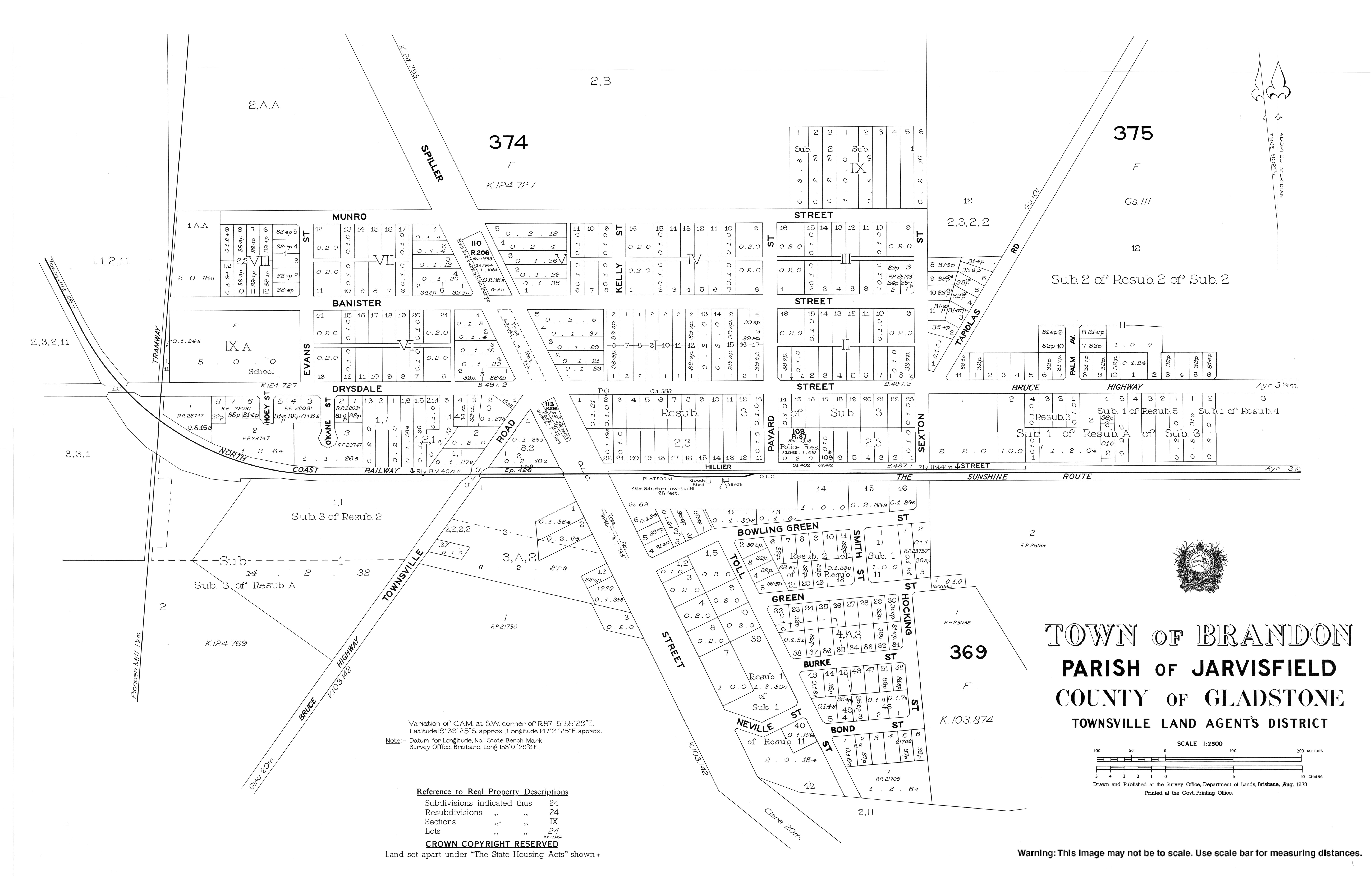
- "Town map of Brandon". Queensland Government. 1973.
- Burdekin Online
- Burdekin Shire Council
Другой контент может иметь иную лицензию. Перед использованием материалов сайта WikiSort.org внимательно изучите правила лицензирования конкретных элементов наполнения сайта.
WikiSort.org - проект по пересортировке и дополнению контента Википедии