world.wikisort.org - Australia
Millaroo is a rural town and locality in the Shire of Burdekin, Queensland, Australia.[3][4] In the 2016 census, the locality of Millaroo had a population of 96 people.[1]
| Millaroo Queensland | |||||||||||||||
|---|---|---|---|---|---|---|---|---|---|---|---|---|---|---|---|
 Millaroo Experiment Station buildings under construction, November 1955 | |||||||||||||||
 Millaroo | |||||||||||||||
| Coordinates | 20.0569°S 147.28°E | ||||||||||||||
| Population | 96 (2016 census)[1] | ||||||||||||||
| • Density | 1.664/km2 (4.309/sq mi) | ||||||||||||||
| Postcode(s) | 4807 | ||||||||||||||
| Elevation | 50 m (164 ft)[2] | ||||||||||||||
| Area | 57.7 km2 (22.3 sq mi) | ||||||||||||||
| Time zone | AEST (UTC+10:00) | ||||||||||||||
| Location |
| ||||||||||||||
| LGA(s) | Shire of Burdekin | ||||||||||||||
| State electorate(s) | Burdekin | ||||||||||||||
| Federal division(s) | Kennedy | ||||||||||||||
| |||||||||||||||
Geography
The locality is bounded to the west by the Burdekin River.[5] The place is located about 100 kilometres (62 mi) south-east of Townsville, about 50 kilometres (31 mi) inland from the Coral Sea.
It is a sugarcane growing area with underground water supplies to irrigate crops.[5]
History
The name Millaroo comes from Millaroo Creek, which in turn was recorded by surveyor Robert Abbott in 1895, but the original of that name are unknown. There was a pastoral property of that name.[3][6]
Following World War II, a number of soldier settlement blocks were established in the area for the purpose of growing tobacco, but it was not successful.[7]
In 1952, there was a plan to establish a new irrigation area along the Burdekin River based around a new town. The town to be called Millaroo was to be established as a "modern" "first class" planned town with reserves, parks, and industrial zones suitable for a population of 6,000 (a similar population to that of Ayr at that time). The buildings were to be constructed with brick and concrete to reduce the fire risk.[6][8][9]
In 1952, the Millaroo Research Station was established by the Queensland Department of Agriculture and Stock to undertake agricultural research to benefit North Queensland.[7]
The Burdekin Gorge Weir (20.4726°S 147.2905°E) on the Burdekin River (between Ravenswood and Mount Wyatt) was completed in November 1953 to provide water for irrigation.[10] This led to the land at Millaroo switching to growing sugarcane.[7]
Millaroo State School opened on 19 July 1954.[11][12]
Millaroo Post Office opened on 1 July 1955 and closed in 1972.[13]
At the 2011 census, Millaroo had a population of 200.[14]
In the 2016 census, the locality of Millaroo had a population of 96 people.[1]
Education
Millaroo State School is a government primary (Early Childhood-6) school for boys and girls at Cunningham Street (20.0581°S 147.2806°E).[15][16] In 2018, the school had an enrolment of 9 students with 3 teachers (2 full-time equivalent) and 6 non-teaching staff (2 full-time equivalent).[17]
There is no secondary school in Millaroo. The nearest secondary school is Home Hill State High School in Home Hill to the north-east, but, given the distance, families may prefer to use distance education or boarding schools.[5]
References
- Australian Bureau of Statistics (27 June 2017). "Millaroo (SSC)". 2016 Census QuickStats. Retrieved 20 October 2018.
- Bonzle Digital Atlas of Australia. "Map of Millaroo". Archived from the original on 11 May 2017. Retrieved 1 November 2016.
- "Millaroo – town in Shire of Burdekin (entry 22074)". Queensland Place Names. Queensland Government. Retrieved 26 December 2020.
- "Millaroo – locality in Shire of Burdekin (entry 44668)". Queensland Place Names. Queensland Government. Retrieved 26 December 2020.
- "Queensland Globe". State of Queensland. Retrieved 2 March 2021.
- "AYR SHIRE DECISIONS". Townsville Daily Bulletin. Vol. LXXII. Queensland, Australia. 18 January 1952. p. 2. Archived from the original on 2 March 2021. Retrieved 2 March 2021 – via National Library of Australia.
- "Millaroo Research Station Archive". James Cook University. Archived from the original on 2 March 2021. Retrieved 2 March 2021.
- "TOP-LEVEL TEAM WILL INSPECT BURDEKIN WORKS". Townsville Daily Bulletin. Vol. LXXII. Queensland, Australia. 23 August 1952. p. 1. Archived from the original on 2 March 2021. Retrieved 2 March 2021 – via National Library of Australia.
- "First-class Area For Millaroo?". Townsville Daily Bulletin. Vol. LXXIII. Queensland, Australia. 30 January 1953. p. 2. Archived from the original on 2 March 2021. Retrieved 2 March 2021 – via National Library of Australia.
- "BURDEKIN GORGE WEIR COMPLETED". Queensland Times. No. 24, 850. Queensland, Australia. 4 November 1953. p. 6 (Daily). Archived from the original on 2 March 2021. Retrieved 2 March 2021 – via National Library of Australia.
- Queensland Family History Society (2010), Queensland schools past and present (Version 1.01 ed.), Queensland Family History Society, ISBN 978-1-921171-26-0
- "Opening and closing dates of Queensland Schools". Queensland Government. Retrieved 18 April 2019.
- Phoenix Auctions History. "Post Office List". Phoenix Auctions. Archived from the original on 23 June 2022. Retrieved 4 March 2021.
- Australian Bureau of Statistics (31 October 2012). "Millaroo (State Suburb)". 2011 Census QuickStats. Retrieved 1 November 2016.
- "State and non-state school details". Queensland Government. 9 July 2018. Archived from the original on 21 November 2018. Retrieved 21 November 2018.
- "Millaroo State School". Archived from the original on 26 February 2021. Retrieved 21 November 2018.
- "ACARA School Profile 2018". Australian Curriculum, Assessment and Reporting Authority. Archived from the original on 27 August 2020. Retrieved 28 January 2020.
External links
| Wikimedia Commons has media related to Millaroo, Queensland. |
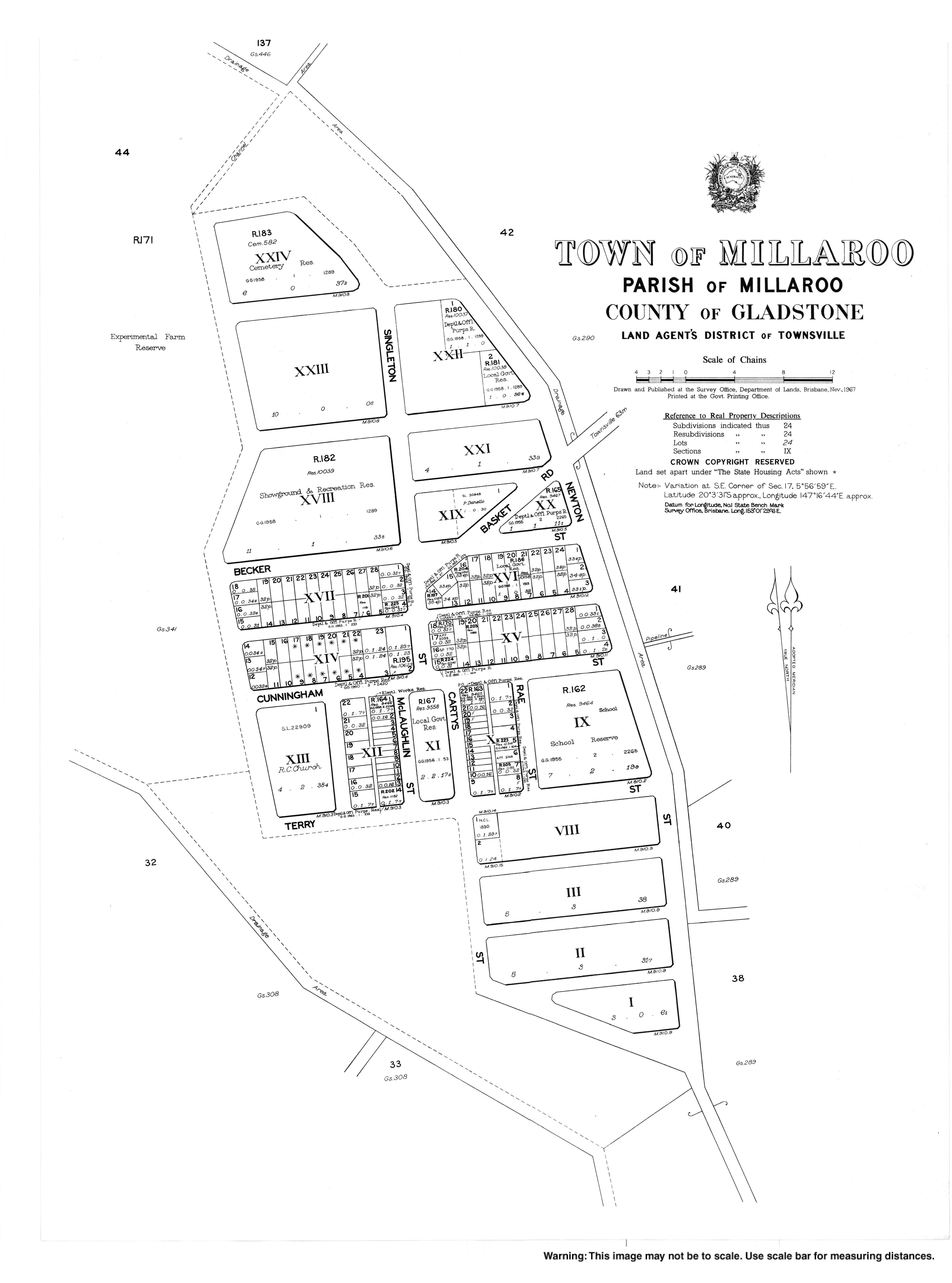
- "Town map of Millaroo". Queensland Government. 1967.
Другой контент может иметь иную лицензию. Перед использованием материалов сайта WikiSort.org внимательно изучите правила лицензирования конкретных элементов наполнения сайта.
WikiSort.org - проект по пересортировке и дополнению контента Википедии