world.wikisort.org - Argentina
La Rioja (Spanish pronunciation: [la ˈrjo.xa]) is the capital and largest city of La Rioja Province, Argentina, located in the east of the province.
This article needs additional citations for verification. (July 2012) |
La Rioja | |
|---|---|
City | |
 Cathedral and Basilica of San Nicolás de La Rioja | |
 Coat of arms | |
 La Rioja Location of La Rioja in Argentina | |
| Coordinates: 29°24′45″S 66°51′15″W | |
| Country | |
| Province | La Rioja |
| Department | Capital |
| Founded | 1591 |
| Elevation | 515 m (1,690 ft) |
| Population (2010 census [INDEC]) | |
| • Total | 180,995 |
| Time zone | UTC−3 (ART) |
| CPA base | F5300 |
| Dialing code | +54 3822 |
| Website | Official website |
La Rioja is located on the foot of the Velasco Sierras, 1,167 km (725 mi) from Buenos Aires, and 430 km (267 mi) from Córdoba.
History
It was founded in 1591 by the governor of Tucumán Province.[1]


Geography
Climate
La Rioja has a semi-arid climate (BSh, according to the Köppen climate classification), with average temperatures of 5 °C (41 °F) to 19 °C (66 °F) in winter and 21 °C (70 °F) to 35 °C (95 °F) in summer, but with maximum temperatures of more than 45 °C (113 °F). The average annual rainfall is 411.4 mm (16 in), falling almost exclusively during the summer when moist tropical air from the northeast enters the region. The highest recorded temperature was 46.4 °C (115.5 °F) on 28 December 1971[2] while the lowest recorded temperature was −7.2 °C (19.0 °F) on 5 August 1966.[3]
| Climate data for La Rioja, Argentina (Capitán Vicente Almandos Almonacid Airport) 1981–2010, extremes 1931–present | |||||||||||||
|---|---|---|---|---|---|---|---|---|---|---|---|---|---|
| Month | Jan | Feb | Mar | Apr | May | Jun | Jul | Aug | Sep | Oct | Nov | Dec | Year |
| Record high °C (°F) | 45.5 (113.9) |
43.6 (110.5) |
42.0 (107.6) |
40.0 (104.0) |
37.3 (99.1) |
29.9 (85.8) |
37.3 (99.1) |
41.4 (106.5) |
42.6 (108.7) |
45.2 (113.4) |
44.6 (112.3) |
46.4 (115.5) |
46.4 (115.5) |
| Average high °C (°F) | 34.7 (94.5) |
33.0 (91.4) |
30.7 (87.3) |
26.7 (80.1) |
22.6 (72.7) |
19.4 (66.9) |
19.5 (67.1) |
23.0 (73.4) |
26.2 (79.2) |
30.9 (87.6) |
33.5 (92.3) |
35.1 (95.2) |
27.9 (82.2) |
| Daily mean °C (°F) | 27.2 (81.0) |
25.8 (78.4) |
23.9 (75.0) |
19.7 (67.5) |
15.1 (59.2) |
11.4 (52.5) |
10.8 (51.4) |
14.2 (57.6) |
17.9 (64.2) |
22.9 (73.2) |
25.5 (77.9) |
27.4 (81.3) |
20.2 (68.4) |
| Average low °C (°F) | 21.1 (70.0) |
19.9 (67.8) |
18.7 (65.7) |
14.5 (58.1) |
9.7 (49.5) |
5.6 (42.1) |
4.4 (39.9) |
7.2 (45.0) |
10.9 (51.6) |
16.0 (60.8) |
18.7 (65.7) |
20.9 (69.6) |
14.0 (57.2) |
| Record low °C (°F) | 8.4 (47.1) |
9.5 (49.1) |
5.2 (41.4) |
1.0 (33.8) |
−3.0 (26.6) |
−5.6 (21.9) |
−6.9 (19.6) |
−7.2 (19.0) |
−2.5 (27.5) |
3.5 (38.3) |
5.3 (41.5) |
7.7 (45.9) |
−7.2 (19.0) |
| Average precipitation mm (inches) | 96.3 (3.79) |
73.6 (2.90) |
65.0 (2.56) |
29.3 (1.15) |
9.0 (0.35) |
2.9 (0.11) |
3.8 (0.15) |
4.2 (0.17) |
9.4 (0.37) |
17.6 (0.69) |
35.9 (1.41) |
65.0 (2.56) |
412.0 (16.22) |
| Average precipitation days (≥ 0.1 mm) | 8.5 | 7.4 | 6.0 | 3.9 | 2.1 | 0.9 | 1.0 | 0.6 | 1.6 | 2.3 | 4.1 | 6.4 | 44.8 |
| Average relative humidity (%) | 61.8 | 64.6 | 68.6 | 69.7 | 69.7 | 69.4 | 62.9 | 52.9 | 48.9 | 48.8 | 51.9 | 55.9 | 60.4 |
| Mean monthly sunshine hours | 235.5 | 209.2 | 200.6 | 188.7 | 189.2 | 170.4 | 207.7 | 229.2 | 216.8 | 251.3 | 234.4 | 227.3 | 2,560.7 |
| Percent possible sunshine | 62 | 64 | 57 | 60 | 62 | 60 | 65 | 73 | 64 | 65 | 66 | 62 | 63 |
| Source 1: Servicio Meteorológico Nacional[4] | |||||||||||||
| Source 2: Meteo Climat (record highs and lows),[3] Oficina de Riesgo Agropecuario (record highs and July record low),[2] World Meteorological Organization (sunshine hours 1981–2010),[5] UNLP (percent sun only)[6] | |||||||||||||
Sights
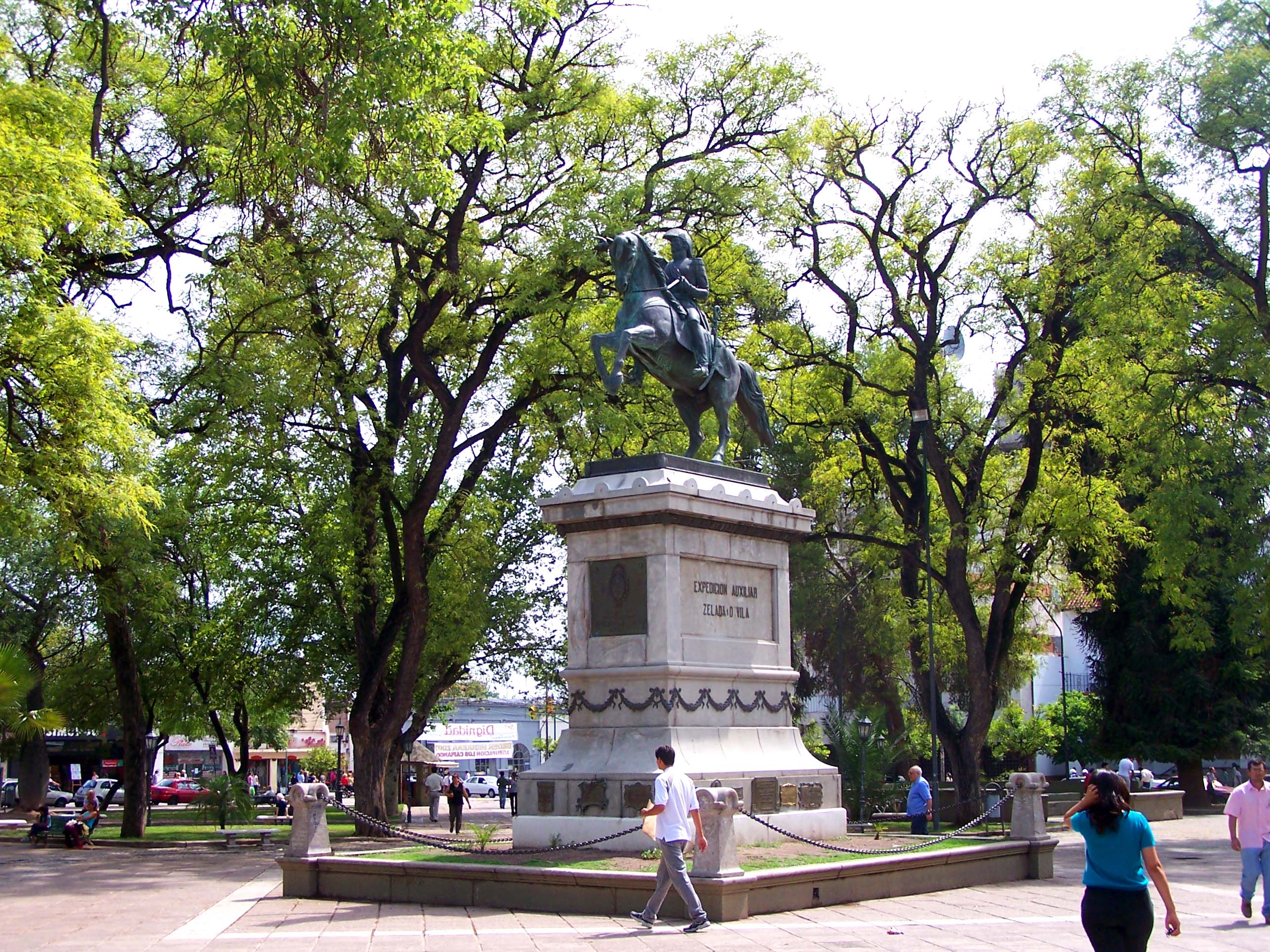
The Museo Folklórico is set in a 17th-century building, and its displays include local chaya music and the Tinkunaco festival.[7] The 35,000-capacity Estadio Carlos Augusto Mercado Luna is located in La Rioja.
Transportation
The city is served by Capitán Vicente Almandos Almonacid Airport, with flights on Aerolíneas Argentinas.
References
- "La Rioja". Encyclopædia Britannica. Retrieved 5 December 2012.
- "La Rioja, La Rioja". Estadísticas meteorológicas decadiales (in Spanish). Oficina de Riesgo Agropecuario. Retrieved 21 June 2015.
- "Station La Rioja" (in French). Météo Climat. Retrieved 6 February 2017.
- "Estadísticas Climatológicas Normales - período 1981-2010" (in Spanish). Servicio Meteorológico Nacional. Retrieved 20 January 2018.
- "World Meteorological Organization Climate Normals for 1981–2010". World Meteorological Organization. Archived from the original on 16 July 2021. Retrieved 5 October 2021.
- "Datos bioclimáticos de 173 localidades argentinas". Atlas Bioclimáticos (in Spanish). Universidad Nacional de La Plata. Retrieved 4 July 2016.
- "Museo Folklórico". La Rioja, Argentina. Lonely Planet. Retrieved 13 February 2016.
External links
| Wikimedia Commons has media related to La Rioja, La Rioja (Argentina). |
- Official page (Spanish)
- Municipal information: Municipal Affairs Federal Institute (IFAM), Municipal Affairs Secretariat, Ministry of Interior, Argentina. (in Spanish)
- City Information (English)
- Universidad Nacional de La Rioja (Spanish)
Provincial capitals of Argentina | ||
|---|---|---|
| ||
Authority control | |
|---|---|
| General | |
| National libraries | |
| Other | |
На других языках
[de] La Rioja (Argentinien)
La Rioja ist eine Stadt im nordwestlichen Argentinien und Hauptstadt der Provinz La Rioja. Sie liegt am Fuß der zu den Sierras Pampeanas gehörenden Sierra de Mazán (oder Sierra Velasco?) und hat 143.684 Einwohner (2001, Quelle: INDEC).- [en] La Rioja, Argentina
[es] La Rioja (Argentina)
La Rioja es la ciudad capital de la provincia de La Rioja en Argentina. Se encuentra ubicada al centroeste de la provincia, en el departamento Capital, cabecera de La Rioja. Está servida por el Aeropuerto Capitán Vicente Almandos Almonacid (Códigos IRJ/SANL) con vuelos a la Ciudad Autónoma de Buenos Aires y San Fernando del Valle de Catamarca.[ru] Ла-Риоха (город)
Ла-Рио́ха (исп. La Rioja) — столица аргентинской провинции Ла-Риоха, расположен на востоке провинции, население — около 290 000 человек.Другой контент может иметь иную лицензию. Перед использованием материалов сайта WikiSort.org внимательно изучите правила лицензирования конкретных элементов наполнения сайта.
WikiSort.org - проект по пересортировке и дополнению контента Википедии