world.wikisort.org - Vietnam
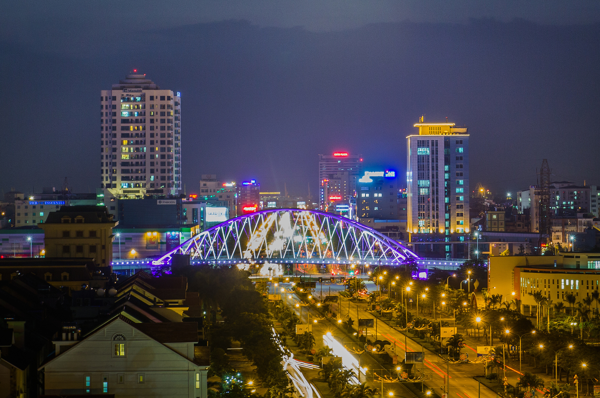
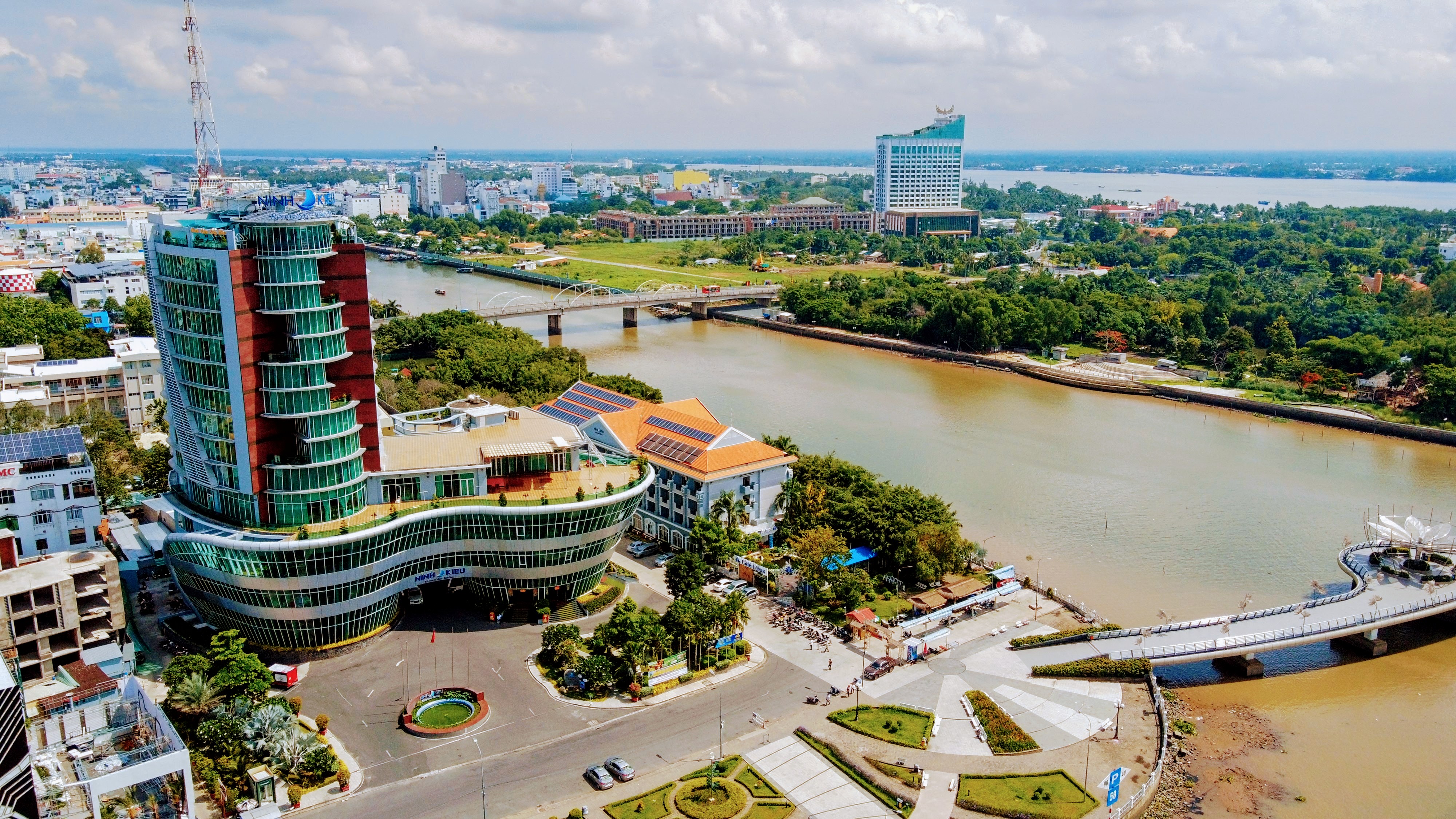
Thái Bình City (![]() listen) is a city in the Red River Delta of northern Vietnam. It is the capital of Thái Bình Province. The city is located 110 km from Hanoi. The city area is 67.7 square km, with a population of 210,000 people (2006).
listen) is a city in the Red River Delta of northern Vietnam. It is the capital of Thái Bình Province. The city is located 110 km from Hanoi. The city area is 67.7 square km, with a population of 210,000 people (2006).
Thái Bình (City)
Thành phố Thái Bình | |
|---|---|
City (Class-2) | |
| Thái Bình City | |
 | |
 Thái Bình (City) Location of Thái Bình in Vietnam | |
| Coordinates: 20°26′46″N 106°20′32″E | |
| Country | |
| Province | Thái Bình |
| Established | 29 April 2004 |
| Area | |
| • Total | 67.7135 km2 (26.1443 sq mi) |
| Population (2013) | |
| • Total | 268,167 |
| • Density | 3,961/km2 (10,260/sq mi) |
History

In the 10th century, the area was the domain of the Tran clan, which rose in power to become the Trần Dynasty of Vietnam in the early 13th century. The town Thái Bình (Sino-Vietnamese: 太平) developed near the Keo Pagoda constructed in 1061.
Before the prime minister declared it a city in June 2004, Thai Binh was officially a town. The city is the center of economics and culture in its province. Thai Binh Medical College is considered one of the highest quality medical colleges in Vietnam.[1]
Climate
| Climate data for Thái Bình | |||||||||||||
|---|---|---|---|---|---|---|---|---|---|---|---|---|---|
| Month | Jan | Feb | Mar | Apr | May | Jun | Jul | Aug | Sep | Oct | Nov | Dec | Year |
| Record high °C (°F) | 31.7 (89.1) |
31.9 (89.4) |
35.9 (96.6) |
37.0 (98.6) |
38.0 (100.4) |
39.0 (102.2) |
39.2 (102.6) |
37.2 (99.0) |
36.3 (97.3) |
33.9 (93.0) |
32.5 (90.5) |
30.1 (86.2) |
39.2 (102.6) |
| Average high °C (°F) | 19.3 (66.7) |
19.3 (66.7) |
21.9 (71.4) |
26.2 (79.2) |
30.5 (86.9) |
32.2 (90.0) |
32.6 (90.7) |
31.6 (88.9) |
30.3 (86.5) |
28.1 (82.6) |
25.0 (77.0) |
21.6 (70.9) |
26.5 (79.7) |
| Daily mean °C (°F) | 16.3 (61.3) |
16.9 (62.4) |
19.4 (66.9) |
23.3 (73.9) |
26.9 (80.4) |
28.6 (83.5) |
29.2 (84.6) |
28.4 (83.1) |
27.0 (80.6) |
24.4 (75.9) |
21.1 (70.0) |
17.8 (64.0) |
23.3 (73.9) |
| Average low °C (°F) | 14.2 (57.6) |
15.3 (59.5) |
17.8 (64.0) |
21.4 (70.5) |
24.5 (76.1) |
26.0 (78.8) |
26.7 (80.1) |
25.9 (78.6) |
24.6 (76.3) |
21.7 (71.1) |
18.3 (64.9) |
15.0 (59.0) |
20.9 (69.6) |
| Record low °C (°F) | 4.1 (39.4) |
5.5 (41.9) |
6.7 (44.1) |
12.8 (55.0) |
16.9 (62.4) |
19.4 (66.9) |
21.9 (71.4) |
21.6 (70.9) |
16.5 (61.7) |
11.6 (52.9) |
9.1 (48.4) |
4.4 (39.9) |
4.1 (39.4) |
| Average precipitation mm (inches) | 26 (1.0) |
27 (1.1) |
49 (1.9) |
84 (3.3) |
164 (6.5) |
201 (7.9) |
207 (8.1) |
298 (11.7) |
318 (12.5) |
224 (8.8) |
65 (2.6) |
25 (1.0) |
1,686 (66.4) |
| Average precipitation days | 9.4 | 13.4 | 17.0 | 13.4 | 12.5 | 13.0 | 12.1 | 15.5 | 15.3 | 12.4 | 7.9 | 6.1 | 147.9 |
| Average relative humidity (%) | 85.4 | 88.7 | 90.7 | 90.0 | 86.1 | 83.6 | 82.4 | 86.3 | 86.8 | 84.9 | 82.3 | 82.8 | 85.8 |
| Mean monthly sunshine hours | 73 | 39 | 42 | 92 | 194 | 187 | 212 | 177 | 180 | 175 | 142 | 126 | 1,639 |
| Source: Vietnam Institute for Building Science and Technology[2] | |||||||||||||
References
- BMJ: British Medical Journal - Volume 313, Issues 7061-7072 1996- Page 1115 "Data from Thai Binh reproductive health survey, April 1992, on 347 mothers delivering for first time from April 1987 to ... We thank the participating women in this survey, our colleagues at Thai Binh Medical College, and the staff of Centre for ..."
- "Vietnam Building Code Natural Physical & Climatic Data for Construction" (PDF). Vietnam Institute for Building Science and Technology. Archived from the original (PDF) on 22 July 2018. Retrieved 31 July 2018.
External links
| Wikimedia Commons has media related to Thai Binh City. |
| ||||||||||||||||||||||||||||||||||||||||||||||||||||||||||||||||||||||||||||||||||||||||||||||||||||||||||||||||||||||||||||||||||||||


Authority control | |
|---|---|
| General |
|
| National libraries | |
| Other |
|
This article about a location in Thái Binh Province, Vietnam is a stub. You can help Wikipedia by expanding it. |
Другой контент может иметь иную лицензию. Перед использованием материалов сайта WikiSort.org внимательно изучите правила лицензирования конкретных элементов наполнения сайта.
WikiSort.org - проект по пересортировке и дополнению контента Википедии