world.wikisort.org - USA
Wauchula is a city in Hardee County, Florida, United States. As of the 2010 census it had a population of 5,001,[4] up from 4,368 at the 2000 census. It is the county seat of Hardee County.[5][6]
Wauchula, Florida | |
|---|---|
City | |
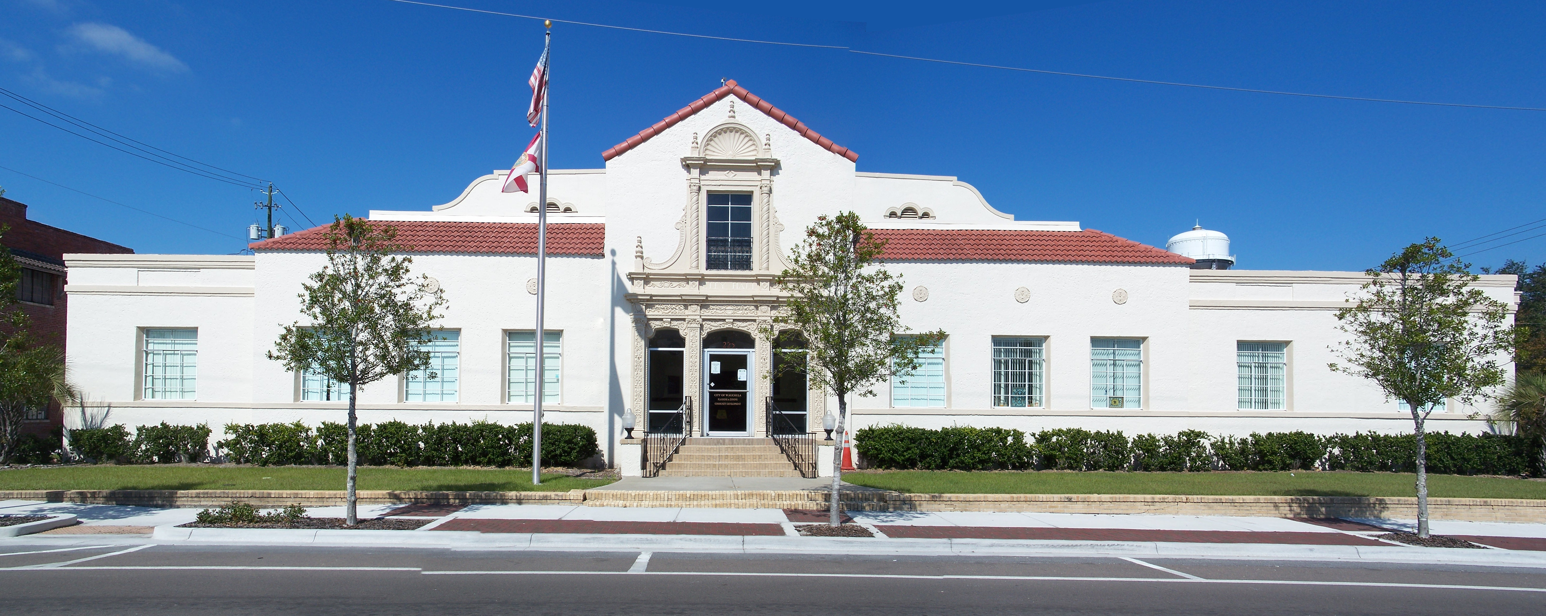 Wauchula Chamber of Commerce in 2010 | |
 Seal | |
| Motto: "Building New Beginnings From Old Traditions" | |
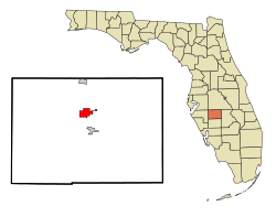 Location in Hardee County and the state of Florida | |
| Coordinates: 27°32′46″N 81°48′52″W | |
| Country | United States |
| State | |
| County | Hardee |
| Incorporated | September 29, 1902 |
| Area | |
| • Total | 3.27 sq mi (8.46 km2) |
| • Land | 3.27 sq mi (8.46 km2) |
| • Water | 0.00 sq mi (0.00 km2) |
| Elevation | 112 ft (34 m) |
| Population (2020) | |
| • Total | 4,900 |
| • Density | 1,499.85/sq mi (579.13/km2) |
| Time zone | UTC-5 (Eastern (EST)) |
| • Summer (DST) | UTC-4 (EDT) |
| ZIP code | 33873 |
| Area code | 863 |
| FIPS code | 12-75375[2] |
| GNIS feature ID | 0292949[3] |
| Website | cityofwauchula |
Wauchula has been called the "cucumber capital of the world", although citrus has become a more important agricultural crop over the past few decades. It is home to the Downtown Wauchula Historic District and Albert Carlton Estate.
Geography
Wauchula is located in north-central Hardee County. U.S. Route 17 passes through the city, leading north 25 miles (40 km) to Bartow and south 24 miles (39 km) to Arcadia. Within the county, Zolfo Springs is 4 miles (6 km) to the south on US 17 and Bowling Green is 6 miles (10 km) to the north.
According to the United States Census Bureau, Wauchula has an area of 3.3 square miles (8.6 km2), all land.[4]
Hurricane Charley
Hurricane Charley hit Wauchula at c. 5:30 on Friday, August 13, 2004, causing more than $750 million in damage. Sustained winds of 140 mph (230 km/h), with gusts of over 160 mph (260 km/h), were clocked in downtown Wauchula.[7] The entire area had either no running water, or contaminated water for one week. Power was lost to many sections for nearly three weeks, with school canceled for two weeks. The area was declared a federal disaster area after 85% of its buildings were either damaged or destroyed.[8] There was a curfew set for the area for weeks after from 8 pm to 7 am.
Climate
The climate in this area is characterized by hot, humid summers and warm winters. According to the Köppen climate classification system, Wauchula has a humid subtropical climate (Cfa).
| Climate data for Wauchula, Florida, 1991–2020 normals | |||||||||||||
|---|---|---|---|---|---|---|---|---|---|---|---|---|---|
| Month | Jan | Feb | Mar | Apr | May | Jun | Jul | Aug | Sep | Oct | Nov | Dec | Year |
| Average high °F (°C) | 72.7 (22.6) |
76.2 (24.6) |
79.6 (26.4) |
84.2 (29.0) |
88.7 (31.5) |
90.7 (32.6) |
91.8 (33.2) |
92.0 (33.3) |
90.1 (32.3) |
85.7 (29.8) |
79.5 (26.4) |
75.0 (23.9) |
83.8 (28.8) |
| Daily mean °F (°C) | 60.2 (15.7) |
62.9 (17.2) |
66.2 (19.0) |
71.0 (21.7) |
76.3 (24.6) |
80.5 (26.9) |
81.9 (27.7) |
82.3 (27.9) |
80.8 (27.1) |
75.3 (24.1) |
67.8 (19.9) |
63.0 (17.2) |
72.4 (22.4) |
| Average low °F (°C) | 47.7 (8.7) |
49.6 (9.8) |
52.9 (11.6) |
57.7 (14.3) |
63.9 (17.7) |
70.3 (21.3) |
72.1 (22.3) |
72.7 (22.6) |
71.5 (21.9) |
64.9 (18.3) |
56.0 (13.3) |
51.0 (10.6) |
60.9 (16.1) |
| Average precipitation inches (mm) | 2.29 (58) |
2.18 (55) |
2.99 (76) |
2.92 (74) |
3.51 (89) |
8.46 (215) |
7.69 (195) |
8.46 (215) |
6.32 (161) |
3.09 (78) |
1.96 (50) |
2.13 (54) |
52.00 (1,321) |
| Average precipitation days (≥ 0.01 in) | 4.9 | 4.1 | 4.2 | 4.3 | 5.8 | 13.4 | 13.1 | 13.9 | 11.3 | 5.8 | 3.9 | 4.5 | 89.2 |
| Source: NOAA[9][10] | |||||||||||||
Demographics
| Historical population | |||
|---|---|---|---|
| Census | Pop. | %± | |
| 1910 | 1,099 | — | |
| 1920 | 2,081 | 89.4% | |
| 1930 | 2,574 | 23.7% | |
| 1940 | 2,710 | 5.3% | |
| 1950 | 2,872 | 6.0% | |
| 1960 | 3,411 | 18.8% | |
| 1970 | 3,007 | −11.8% | |
| 1980 | 3,296 | 9.6% | |
| 1990 | 3,253 | −1.3% | |
| 2000 | 4,368 | 34.3% | |
| 2010 | 5,001 | 14.5% | |
| 2020 | 4,900 | −2.0% | |
| U.S. Decennial Census[11] | |||

As of the census[2] of 2000, there were 4,368 people, 1,431 households, and 985 families residing in the city. The population density was 1,669.6 inhabitants per square mile (644.6/km2). There were 1,562 housing units at an average density of 597.0 per square mile (230.5/km2). The racial makeup of the city was 73.44% White, 4.17% African American, 0.57% Native American, 0.30% Asian, 18.84% from other races, and 2.68% from two or more races. Hispanic or Latino of any race were 39.42% of the population.
There were 1,431 households, out of which 36.5% had children under the age of 18 living with them, 48.9% were married couples living together, 14.8% had a female householder with no husband present, and 31.1% were non-families. 26.5% of all households were made up of individuals, and 13.1% had someone living alone who was 65 years of age or older. The average household size was 2.97 and the average family size was 3.57.
In the city, the population was spread out, with 30.7% under the age of 18, 11.6% from 18 to 24, 26.9% from 25 to 44, 17.1% from 45 to 64, and 13.7% who were 65 years of age or older. The median age was 30 years. For every 100 females, there were 98.5 males. For every 100 females age 18 and over, there were 96.7 males.
The median income for a household in the city was $25,931, and the median income for a family was $29,943. Males had a median income of $19,129 versus $15,867 for females. The per capita income for the city was $10,665. About 19.9% of families and 25.0% of the population were below the poverty line, including 30.0% of those under age 18 and 12.8% of those age 65 or over.
In 2010 Wauchula had a population of 5,001. The racial and ethnic composition of the population was 43.6% non-Hispanic white, 5.9% black or African American, 0.9% Native American, 1.0% Asian, 0.1% non-Hispanic of some other race, 2.3% from two or more races and 48.6% Hispanic or Latino. 44.7% of the population was Mexican.[12]
Infrastructure
Wauchula Municipal Airport is a public-use airport located 5 miles (8.0 km) southwest of the central business district.
Center for Great Apes is a permanent sanctuary for rescued orangutans and chimpanzees.
Notable people
- Doyle E. Carlton (1885–1972), 25th governor of Florida
- Tom McEwen (1923–2011), sportswriter
- B. J. McLeod (born 1983), NASCAR driver
- Zeke Mowatt (born 1961), NFL football player and Super Bowl XXI champion
See also
- List of municipalities in Florida
- National Register of Historic Places listings in Hardee County, Florida
References
- "2020 U.S. Gazetteer Files". United States Census Bureau. Retrieved December 2, 2021.
- "U.S. Census website". United States Census Bureau. Retrieved 2008-01-31.
- "US Board on Geographic Names". United States Geological Survey. 2007-10-25. Retrieved 2008-01-31.
- "Geographic Identifiers: 2010 Demographic Profile Data (G001): Wauchula city, Florida". American Factfinder. U.S. Census Bureau. Retrieved April 25, 2017.[dead link]
- "Find a County". National Association of Counties. Retrieved 2011-06-07.
- "Profile for Wauchula, Florida, FL". ePodunk. Retrieved September 19, 2012.
- "NOAA Storm Tracker" (PDF). Spikowski. Retrieved May 28, 2013.
- "Trip Journal Florida". MyTripJournal. Retrieved May 28, 2013.
- "NOWData - NOAA Online Weather Data". National Oceanic and Atmospheric Administration. Retrieved May 23, 2021.
- "Summary of Monthly Normals 1991-2020". National Oceanic and Atmospheric Administration. Retrieved May 23, 2021.
- "Census of Population and Housing". Census.gov. Retrieved June 4, 2015.
- 2010 general demographic report for Wauchula
External links
Municipalities and communities of Hardee County, Florida, United States | ||
|---|---|---|
County seat: Wauchula | ||
| Cities |  | |
| Town | ||
| CDPs | ||
| Unincorporated communities | ||
| Ghost town |
| |
| ||
Authority control | |
|---|---|
| General | |
| National libraries | |
| Other |
|
На других языках
[de] Wauchula
Wauchula ist eine Stadt und zudem der County Seat des Hardee County im US-Bundesstaat Florida mit 5001 Einwohnern (Stand: 2010).- [en] Wauchula, Florida
[ru] Ваучула
Ваучула (также: Вочула, Уочула; англ.: Wauchula) — город в округе Харди, штат Флорида, США. По данным переписи 2010 года, в нём проживало 5 001 человек[4] по сравнению с 4 368 при переписи 2000 года. Это административный центр округа Харди[5][6].Другой контент может иметь иную лицензию. Перед использованием материалов сайта WikiSort.org внимательно изучите правила лицензирования конкретных элементов наполнения сайта.
WikiSort.org - проект по пересортировке и дополнению контента Википедии