world.wikisort.org - USA
Perry is a city in Taylor County, Florida, United States. As of 2010, the population recorded by the U.S. Census Bureau is 7,017.[4] It is the county seat.[5] The city was named for Madison Perry, fourth Governor of the State of Florida and a Confederate colonel during the American Civil War.[6]
Perry, Florida | |
|---|---|
City | |
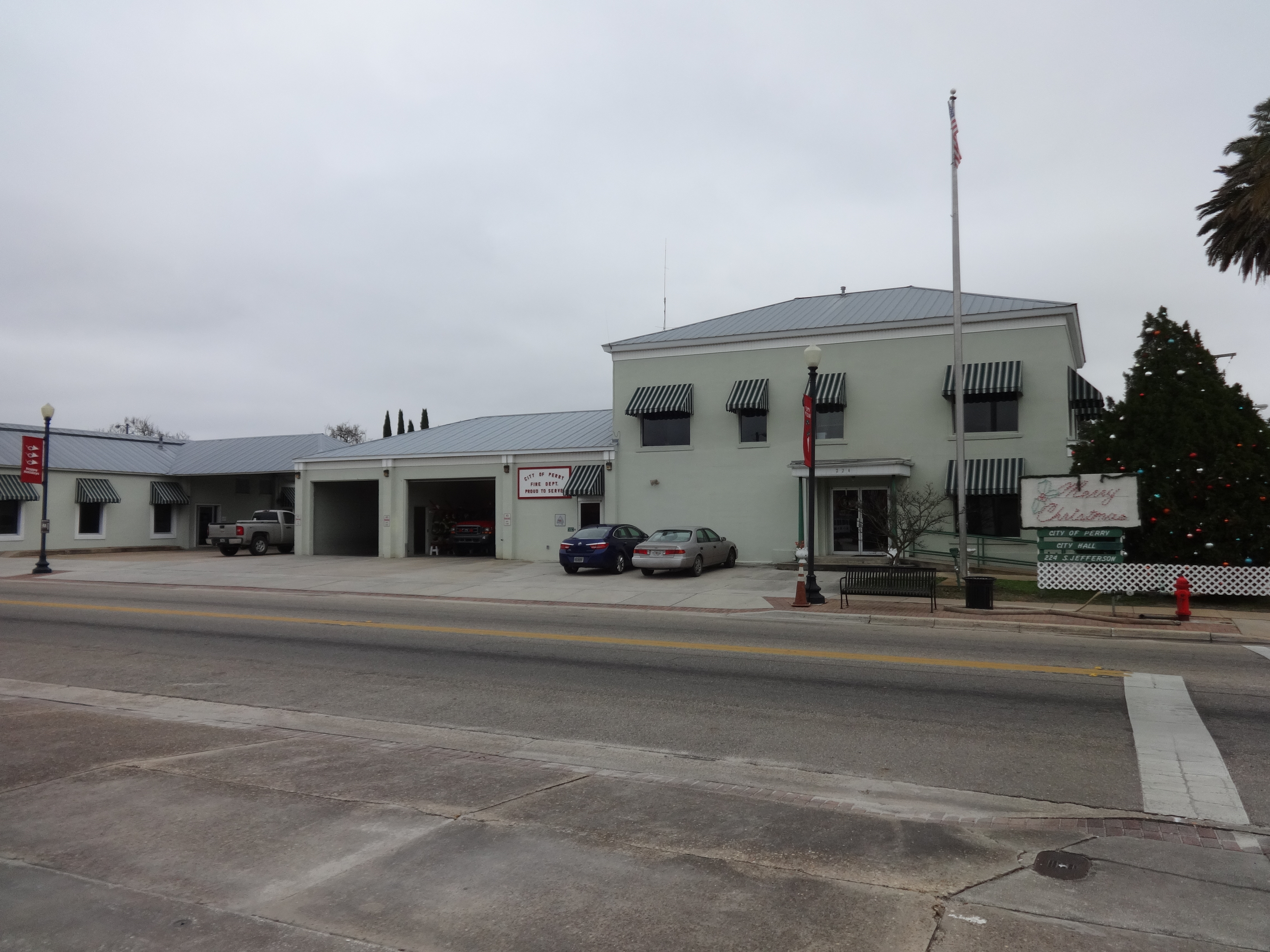 Perry City Hall and Fire Department | |
 Location in Taylor County and the state of Florida | |
| Coordinates: 30°6′52″N 83°34′57″W | |
| Country | |
| State | |
| County | Taylor |
| Area | |
| • Total | 9.43 sq mi (24.43 km2) |
| • Land | 9.43 sq mi (24.43 km2) |
| • Water | 0.00 sq mi (0.00 km2) |
| Elevation | 46 ft (14 m) |
| Population (2020) | |
| • Total | 6,898 |
| • Density | 731.34/sq mi (282.37/km2) |
| Time zone | UTC-5 (Eastern (EST)) |
| • Summer (DST) | UTC-4 (EDT) |
| ZIP codes | 32347-32348 |
| Area code | 850 |
| FIPS code | 12-56150[2] |
| GNIS feature ID | 0288724[3] |
| Website | cityofperry |
Geography
Perry is located at 30°06′52″N 83°34′57″W.[7]
According to the United States Census Bureau, the city has a total area of 9.3 square miles (24 km2), all land.
Perry is approximately 50 miles (80 km) southeast of Tallahassee.[8]
Climate
| Climate data for Perry, Florida, 1991–2020 normals | |||||||||||||
|---|---|---|---|---|---|---|---|---|---|---|---|---|---|
| Month | Jan | Feb | Mar | Apr | May | Jun | Jul | Aug | Sep | Oct | Nov | Dec | Year |
| Average high °F (°C) | 66.0 (18.9) |
69.3 (20.7) |
74.5 (23.6) |
79.9 (26.6) |
86.0 (30.0) |
89.2 (31.8) |
90.4 (32.4) |
89.9 (32.2) |
87.7 (30.9) |
81.7 (27.6) |
74.1 (23.4) |
68.3 (20.2) |
79.8 (26.6) |
| Daily mean °F (°C) | 54.7 (12.6) |
57.8 (14.3) |
62.6 (17.0) |
68.1 (20.1) |
74.9 (23.8) |
80.1 (26.7) |
81.8 (27.7) |
81.7 (27.6) |
79.0 (26.1) |
71.3 (21.8) |
62.4 (16.9) |
57.1 (13.9) |
69.3 (20.7) |
| Average low °F (°C) | 43.4 (6.3) |
46.4 (8.0) |
50.6 (10.3) |
56.3 (13.5) |
63.9 (17.7) |
71.0 (21.7) |
73.2 (22.9) |
73.5 (23.1) |
70.2 (21.2) |
60.8 (16.0) |
50.7 (10.4) |
46.0 (7.8) |
58.8 (14.9) |
| Average precipitation inches (mm) | 4.76 (121) |
3.37 (86) |
4.74 (120) |
3.06 (78) |
3.52 (89) |
7.22 (183) |
7.09 (180) |
8.59 (218) |
4.81 (122) |
2.86 (73) |
2.20 (56) |
2.77 (70) |
54.99 (1,397) |
| Average precipitation days (≥ 0.01 in) | 8.8 | 8.3 | 7.4 | 6.1 | 6.9 | 13.2 | 14.4 | 15.5 | 9.3 | 5.6 | 5.5 | 7.3 | 108.3 |
| Source: NOAA[9][10] | |||||||||||||
History
In 1922, Perry was a very small town of less than 2,000 people. During this time, a murder happened and three people were hanged for the crimes. Private retribution against the suspected families and those that gave them support ensued. The Perry Massacre occurred in Perry on 14 and 15 December 1922, during which whites hung Charles Wright and attacked the black community of Perry after the murder of a white schoolteacher.[11] On the day following Wright's lynching two more black men were shot and hanged; whites then burned the town's black school, Masonic lodge, church, amusement hall, and several families' homes.[11][12] [13]
Firefighters battling a blaze[14] at a natural gas plant in August 1998 were injured when an explosion ripped through the area, sending a mammoth fireball into the sky. The flames destroyed at least six houses and several vehicles and forced the evacuation of 100 homes within two miles of the plant. Four firefighters were hospitalized. Their injuries weren't considered life-threatening. Employees of the Florida Gas Transmission Co. plant had already been evacuated because of the fire. The blast occurred an hour later. Taylor County Fire Chief Ashley Newell rescued two firefighters, abandoning his car to help drag the injured men to safety.
Demographics
| Historical population | |||
|---|---|---|---|
| Census | Pop. | %± | |
| 1910 | 1,012 | — | |
| 1920 | 1,956 | 93.3% | |
| 1930 | 2,744 | 40.3% | |
| 1940 | 2,668 | −2.8% | |
| 1950 | 2,797 | 4.8% | |
| 1960 | 8,030 | 187.1% | |
| 1970 | 7,701 | −4.1% | |
| 1980 | 8,254 | 7.2% | |
| 1990 | 7,151 | −13.4% | |
| 2000 | 6,847 | −4.3% | |
| 2010 | 7,017 | 2.5% | |
| 2020 | 6,898 | −1.7% | |
| U.S. Decennial Census[15] | |||
2020 census
Note: the US Census treats Hispanic/Latino as an ethnic category. This table excludes Latinos from the racial categories and assigns them to a separate category. Hispanics/Latinos can be of any race.
| Race | Number | Percentage |
|---|---|---|
| White (NH) | 3,554 | 51.52% |
| Black or African American (NH) | 2,694 | 39.05% |
| Native American or Alaska Native (NH) | 26 | 0.38% |
| Asian (NH) | 153 | 2.22% |
| Some Other Race (NH) | 17 | 0.25% |
| Mixed/Multi-Racial (NH) | 218 | 3.16% |
| Hispanic or Latino | 236 | 3.42% |
| Total | 6,898 |
As of the 2020 United States census, there were 6,898 people, 2,572 households, and 1,856 families residing in the city.
2010 census
As of the census[2] of 2010, there were 7,017 people, 2,661 households, and 1,828 families residing in the city. The population density was 748.0 inhabitants per square mile (288.8/km2). There were 3,073 housing units at an average density of 330.9 per square mile (127.8/km2) The racial makeup of the city was 55.0% White, 40.1% African American, 0.5% Native American, 1.4% Asian and 2.1% from two or more races. Hispanic or Latino people of any race were 2.2% of the population.
There were 2,661 households, out of which 33.3% had children under the age of 18 living with them, 40.4% were married couples living together, 23.8% had a female householder with no husband present, and 31.3% were non-families. 27.0% of all households were made up of individuals, and 12.4% had someone living alone who was 65 years of age or older. The average household size was 2.52 and the average family size was 3.02.
In the city, the population age was spread out, with 28.4% under the age of 18, 8.8% from 18 to 24, 26.3% from 25 to 44, 21.5% from 45 to 64, and 15.0% who were 65 years of age or older. The median age was 36 years. For every 100 females, there were 87.8 males. For every 100 females age 18 and over, there were 84.3 males.
The median income for a household in the city was $25,986, and the median income for a family was $29,602. Males had a median income of $26,595 versus $19,041 for females. The per capita income for the city was $13,845. About 23.0% of families and 28.0% of the population were below the poverty line, including 39.0% of those under age 18 and 26.7% of those age 65 or over.
Education
Students are served by the Taylor County School System. For the 2007–2008 school year, the Florida Department of Education gave the District a "B" grade, with each of its four schools earning a "B" as well.[17]
Taylor County High School's Bulldogs[18] were the 1977–1978 Class 3A football District 3, Region 2 and State Semi-final Champions, losing to Bartow HS in the championship game, 7–0. The 1978–1979 football team were the District 3 champions and lost to Milton HS in the Regional championship game. The 1980–1981 football team were the District 3 champions and Region 2 runner-up, losing to Milton HS in the Regional championship game. The football team won 1997–1998 Class 3A State Championship. In 2010 the Bulldogs completed an undefeated football season going 10–0, claiming the district championship.
Transportation
Perry–Foley Airport is a public-use airport located 3 miles (4.8 km) south of the central business district.
The city is served by Perry Shuttle, a bus route operated by Big Bend Transit.[19]
Law enforcement
The Perry Police Department (PPD) is a 24-person agency with four fully trained Patrol K-9 teams. Each handler and K-9 partner are exposed to at least 500 hours of training, and some instances, as many as 800 hours to be certified.[20]
Notable people
- LeGarrette Blount, retired NFL running back
- Ethel Cain, singer-songwriter and artist
- Christine Falling, serial killer who murdered six children
- Saucy Santana, American rapper
References
- "2020 U.S. Gazetteer Files". United States Census Bureau. Retrieved October 31, 2021.
- "U.S. Census website". United States Census Bureau. Retrieved 2008-01-31.
- "US Board on Geographic Names". United States Geological Survey. 2007-10-25. Retrieved 2008-01-31.
- "Archived copy". Archived from the original on 2006-09-29. Retrieved 2013-08-23.
{{cite web}}: CS1 maint: archived copy as title (link) - "Find a County". National Association of Counties. Retrieved 2011-06-07.
- The official web site of the City of Perry, Florida states: Perry, Florida was first called Rosehead and information was unavailable as to how this name was chosen. In 1875 it was changed to Perrytown, after Governor Stark Perry. Later the "town" was dropped and the name became Perry. "City of Perry, Florida". Archived from the original on 2010-08-09. Retrieved 2011-10-26.
- "US Gazetteer files: 2010, 2000, and 1990". United States Census Bureau. 2011-02-12. Retrieved 2011-04-23.
- Stillman, Sarah. "The Throwaways." The New Yorker. September 3, 2012. Retrieved on January 22, 2015.
- "NOWData - NOAA Online Weather Data". National Oceanic and Atmospheric Administration. Retrieved June 24, 2021.
- "Summary of Monthly Normals 1991-2020". National Oceanic and Atmospheric Administration. Retrieved June 24, 2021.
- Henry, Charles P. (2007). Long overdue: the politics of racial reparations. NYU Press. pp. 70–71. ISBN 978-0-8147-3692-0. Retrieved 23 May 2013.
- Henry, C. Michael (2004). "Introduction". In C. Michel Henry (ed.). Race, poverty, and domestic policy. Yale ISPS series. New Haven: Yale University Press. ISBN 978-0-300-09541-8. Retrieved 2013-05-23.
- Ginzburg, Ralph. "Perry Race Riots". History Engine. Retrieved 15 October 2020.
- "Perry, FL Gas Plant Explosion, Aug 1998 | GenDisasters ... Genealogy in Tragedy, Disasters, Fires, Floods". www.gendisasters.com. Retrieved 2019-07-23.
- "Census of Population and Housing". Census.gov. Retrieved June 4, 2015.
- "Explore Census Data". data.census.gov. Retrieved 2022-03-08.
- Florida Department of Education. Retrieved on 2009-03-27.
- "Our Schools". Archived from the original on 2012-02-04. Retrieved 2012-04-03. Taylor County School District, Perry Florida. Retrieved 2012-04-03.
- "Big Bend Transit | COORDINATED TRANSPORTATION SYSTEM OF TAYLOR COUNTY". www.bigbendtransit.org. Retrieved 2019-01-31.
- "Perry PD HOME PAGE". Archived from the original on 2007-07-20. Retrieved 2007-05-08.
Municipalities and communities of Taylor County, Florida, United States | ||
|---|---|---|
County seat: Perry | ||
| City |  | |
| CDP | ||
| Unincorporated communities |
| |
| ||
Authority control | |
|---|---|
| General | |
| National libraries | |
| Other |
|
На других языках
[de] Perry (Florida)
Perry ist eine Stadt und zudem der County Seat des Taylor County im US-Bundesstaat Florida. Das U.S. Census Bureau hat bei der Volkszählung 2020 eine Einwohnerzahl von 6.898[1] ermittelt.- [en] Perry, Florida
Другой контент может иметь иную лицензию. Перед использованием материалов сайта WikiSort.org внимательно изучите правила лицензирования конкретных элементов наполнения сайта.
WikiSort.org - проект по пересортировке и дополнению контента Википедии