world.wikisort.org - USA
Union Township is a township in Lawrence County, Pennsylvania, United States. The population was 4,997 at the 2020 census,[3] a decline from the figure of 5,190 as of 2010.[5]
Union Township | |
|---|---|
Township | |
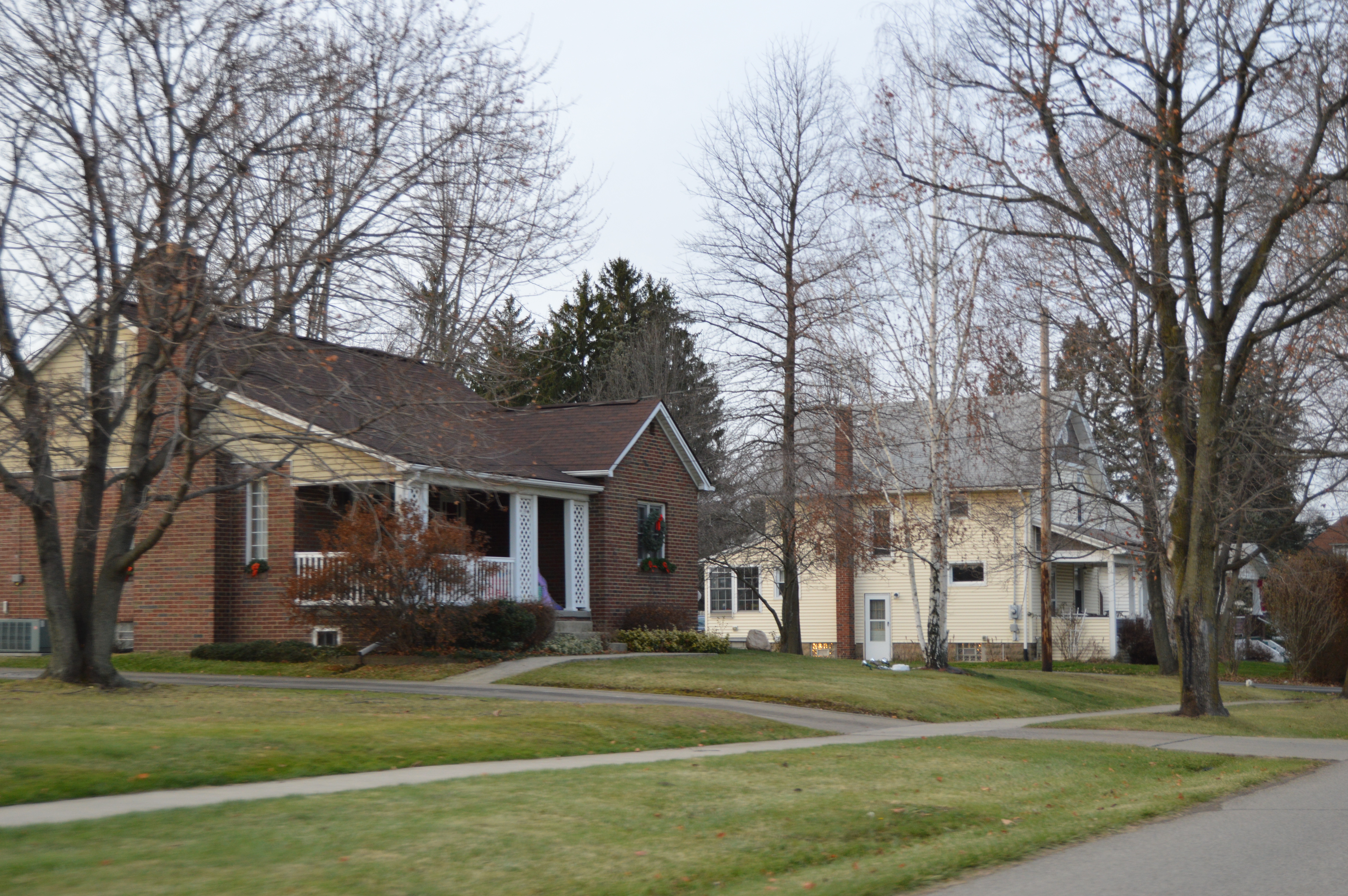 Houses in Oakwood | |
 Location of Union Township in Lawrence County | |
 Location of Lawrence County in Pennsylvania | |
| Country | United States |
| State | Pennsylvania |
| County | Lawrence |
| Established | 1798 |
| Area | |
| • Total | 9.62 sq mi (24.90 km2) |
| • Land | 9.52 sq mi (24.65 km2) |
| • Water | 0.10 sq mi (0.25 km2) |
| Highest elevation [2] (west of US 422) | 1,166 ft (355 m) |
| Lowest elevation [2] (Mahoning River) | 778 ft (237 m) |
| Population (2020) | |
| • Total | 4,997 |
| • Estimate (2021)[3] | 4,954 |
| • Density | 522.33/sq mi (201.68/km2) |
| Time zone | UTC-4 (EST) |
| • Summer (DST) | UTC-5 (EDT) |
| Area code(s) | 724 |
| Website | uniontownshiplawrencecounty |
| Historical population | |||
|---|---|---|---|
| Census | Pop. | %± | |
| 2000 | 5,103 | — | |
| 2010 | 5,190 | 1.7% | |
| 2020 | 4,997 | −3.7% | |
| 2021 (est.) | 4,954 | [3] | −0.9% |
| U.S. Decennial Census[4] | |||
Geography
According to the United States Census Bureau, the township has a total area of 9.7 square miles (25.0 km2), of which 9.6 square miles (24.9 km2) is land and 0.04 square miles (0.1 km2), or 0.41%, is water. Unincorporated communities in the township include Harbor, Harbor Bridge, Parkstown, Belmar Park, Westview Heights, Oakwood, and Oakland.
Demographics
As of the census[6] of 2000, there were 5,103 people, 2,121 households, and 1,495 families residing in the township. The population density was 530.3 people per square mile (204.8/km2). There were 2,227 housing units at an average density of 231.4/sq mi (89.4/km2). The racial makeup of the township was 94.92% White, 4.06% African American, 0.02% Native American, 0.16% Asian, 0.29% from other races, and 0.55% from two or more races. Hispanic or Latino of any race were 0.53% of the population.
There were 2,121 households, out of which 23.3% had children under the age of 18 living with them, 55.2% were married couples living together, 11.2% had a female householder with no husband present, and 29.5% were non-families. 26.3% of all households were made up of individuals, and 15.1% had someone living alone who was 65 years of age or older. The average household size was 2.40 and the average family size was 2.89.
In the township the population was spread out, with 18.9% under the age of 18, 6.9% from 18 to 24, 24.3% from 25 to 44, 26.5% from 45 to 64, and 23.5% who were 65 years of age or older. The median age was 45 years. For every 100 females there were 91.4 males. For every 100 females age 18 and over, there were 89.0 males.
The median income for a household in the township was $36,074, and the median income for a family was $41,909. Males had a median income of $32,297 versus $21,378 for females. The per capita income for the township was $16,717. About 3.9% of families and 5.6% of the population were below the poverty line, including 5.6% of those under age 18 and 4.7% of ages 65 or over.
References
- "2016 U.S. Gazetteer Files". United States Census Bureau. Retrieved Aug 14, 2017.
- "Turkey Hill Topo Map, Lawrence County PA (New Castle South Area)". TopoZone. Locality, LLC. Retrieved 5 September 2019.
- Bureau, US Census. "City and Town Population Totals: 2020-2021". Census.gov. US Census Bureau. Retrieved 26 June 2022.
- "Census of Population and Housing". Census.gov. Retrieved June 4, 2016.
- "Profile of General Population and Housing Characteristics: 2010 Demographic Profile Data (DP-1): Union township, Lawrence County, Pennsylvania". United States Census Bureau. Retrieved March 28, 2012.
- "U.S. Census website". United States Census Bureau. Retrieved 2008-01-31.
External links
Municipalities and communities of Lawrence County, Pennsylvania, United States | ||
|---|---|---|
County seat: New Castle | ||
| City |  | |
| Boroughs |
| |
| Townships | ||
| CDPs |
| |
| Unincorporated communities |
| |
| Footnotes | ‡This populated place also has portions in an adjacent county or counties | |
| ||
Greater Pittsburgh | ||
|---|---|---|
Pittsburgh–New Castle–Weirton combined statistical area | ||
| Counties |  | |
| Major cities |
| |
| Cities and towns 15k–50k (in 2010) |
| |
| Airports | ||
| Topics |
| |
| ||
Другой контент может иметь иную лицензию. Перед использованием материалов сайта WikiSort.org внимательно изучите правила лицензирования конкретных элементов наполнения сайта.
WikiSort.org - проект по пересортировке и дополнению контента Википедии