world.wikisort.org - USA
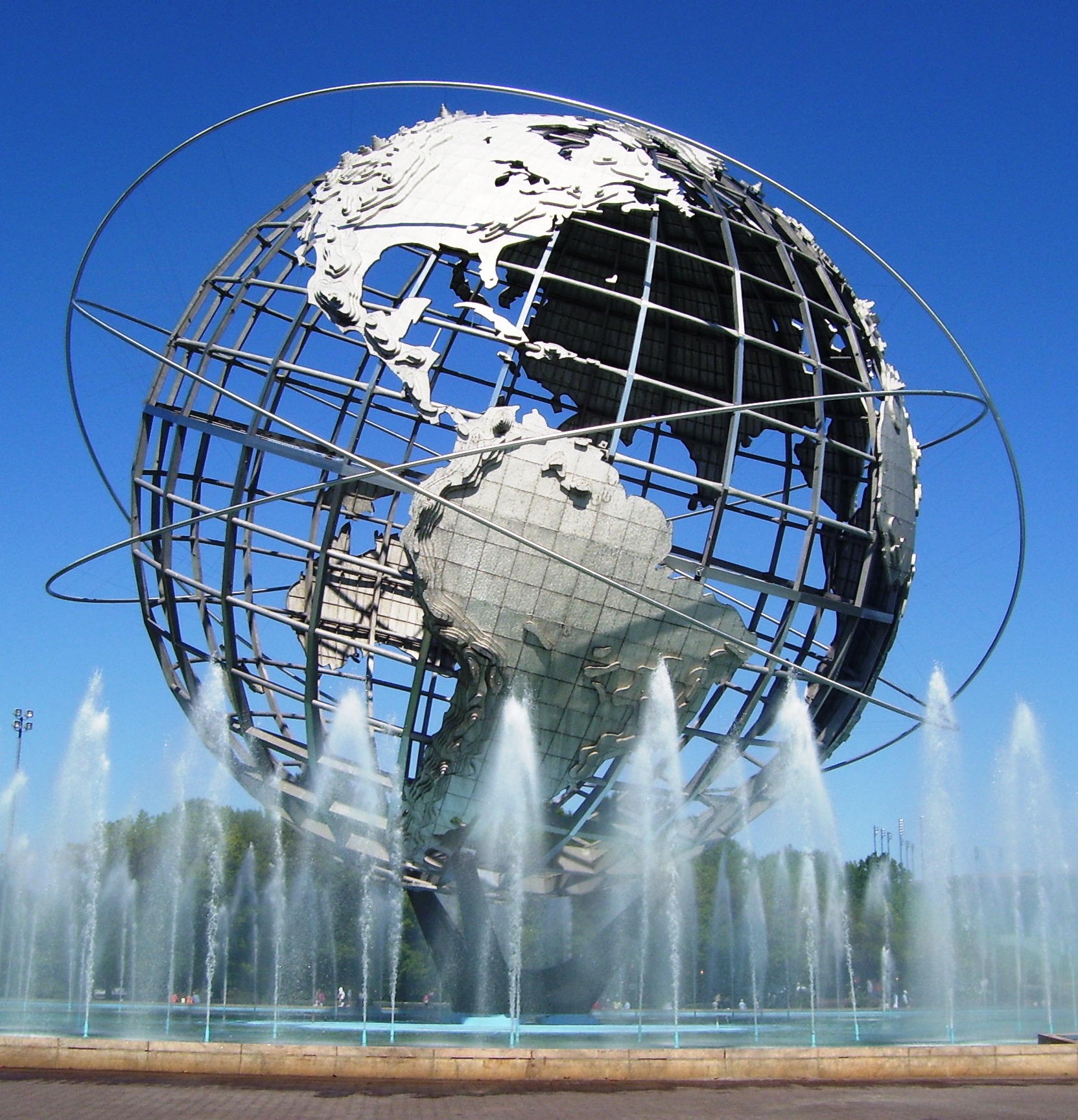
The Queens Community Board 4 is a local government in the New York City borough of Queens, encompassing the neighborhoods of Elmhurst, Corona, Corona Heights, Newtown, and also includes LeFrak City, Queens Center Mall and Flushing Meadows-Corona Park.[3] It is delimited by Roosevelt Avenue to the north, the New York Connecting Railroad to the west, the Horace Harding Expressway to the south and Flushing Meadows Corona Park on the east.
Queens Community District 4
Queens Community Board 4 | |
|---|---|
Community District | |
| Country | |
| State | |
| City | |
| Borough | |
| Neighborhoods | |
| Government | |
| • Type | Community board |
| • Body | Queens Community Board 4 |
| • Chairperson | Marialena Giampino |
| • District Manager | Christian Cassagnol |
| Area | |
| • Total | 2.4 sq mi (6 km2) |
| Population (2016) | |
| • Total | 142,289 |
| • Density | 59,000/sq mi (23,000/km2) |
| Ethnicity | |
| • African-American | 7.9% |
| • Asian | 33.2% |
| • Hispanic and Latino Americans | 50.7% |
| • White | 6.3% |
| • Others | 1.9% |
| Time zone | UTC−5 (Eastern) |
| • Summer (DST) | UTC−4 (EDT) |
| ZIP codes | 11368, 11373, and 11377 |
| Area codes | 718, 347, and 929, and 917 |
| Police Precincts | 110th (website) |
| Website | www1 |
| [1] [2] | |
References
- "NYC Planning | Community Profiles". communityprofiles.planning.nyc.gov. Retrieved August 6, 2019.
- "Queens Community District 4 profile.pdf" (PDF). docs.google.com. NYC Department of Planning. Retrieved August 6, 2019.
- Queens Community Boards, New York City. Accessed September 3, 2007.
External links
Uniform Land Use Review Procedure of New York City | ||||||||
|---|---|---|---|---|---|---|---|---|
|  | |||||||
Neighborhoods in the New York City borough of Queens | ||
|---|---|---|
|  | |
This New York City–related article is a stub. You can help Wikipedia by expanding it. |
Текст в блоке "Читать" взят с сайта "Википедия" и доступен по лицензии Creative Commons Attribution-ShareAlike; в отдельных случаях могут действовать дополнительные условия.
Другой контент может иметь иную лицензию. Перед использованием материалов сайта WikiSort.org внимательно изучите правила лицензирования конкретных элементов наполнения сайта.
Другой контент может иметь иную лицензию. Перед использованием материалов сайта WikiSort.org внимательно изучите правила лицензирования конкретных элементов наполнения сайта.
2019-2026
WikiSort.org - проект по пересортировке и дополнению контента Википедии
WikiSort.org - проект по пересортировке и дополнению контента Википедии