world.wikisort.org - USA
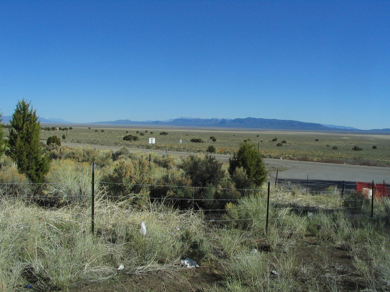
Pony Springs is an unincorporated community in Lincoln County, Nevada, United States. Pony Springs is located along U.S. Route 93.
The topic of this article may not meet Wikipedia's notability guideline for geographic features. (June 2020) |
Pony Springs, Nevada | |
|---|---|
Unincorporated community | |
 | |
 Pony Springs  Pony Springs | |
| Coordinates: 38°19′08″N 114°36′24″W[1] | |
| Country | United States |
| State | Nevada |
| County | Lincoln |
| Elevation | 6,155 ft (1,876 m) |
| Time zone | UTC-8 (Pacific (PST)) |
| • Summer (DST) | UTC-7 (PDT) |
| GNIS feature ID | 856109 |
Pony Springs was a watering hole for early ranchers.[2]
Pony Springs is the site of a roadside rest area.[3]
This location is in Lincoln County and was not a stop on the Pony Express. See Pony Springs in White Pine County[4] which was also known as a Butte and was a stop on the Overland Trail and later the Pony Express.[5]
References
- U.S. Geological Survey Geographic Names Information System: Pony Springs
- Wilkerson, Lyn (2010). Slow Travels - California and Nevada. p. 273. ISBN 9780557607648. Retrieved June 4, 2020.
- Velotta, Richard N. "First US 95 electric car charging station opens in Beatty". Las Vegas Review-Journal. Retrieved June 4, 2020.
- U.S. Geological Survey Geographic Names Information System: Pony Springs (White Pine County)
- Petersen, Jesse G. (2008). "Pleasant Valley to Roberts Creek". Route for the Overland Stage: James H. Simpson's 1859 Trail Across the Great Basin. University Press of Colorado. pp. 38–63. ISBN 9780874216936. JSTOR j.ctt4cgqjd.8.
Municipalities and communities of Lincoln County, Nevada, United States | ||
|---|---|---|
County seat: Pioche | ||
| City |
|  |
| CDPs | ||
| Other communities | ||
| Ghost towns | ||
| Proposed communities |
| |
| Footnotes | ‡This populated place also has portions in an adjacent county or counties | |
| ||
This Lincoln County, Nevada state location article is a stub. You can help Wikipedia by expanding it. |
Текст в блоке "Читать" взят с сайта "Википедия" и доступен по лицензии Creative Commons Attribution-ShareAlike; в отдельных случаях могут действовать дополнительные условия.
Другой контент может иметь иную лицензию. Перед использованием материалов сайта WikiSort.org внимательно изучите правила лицензирования конкретных элементов наполнения сайта.
Другой контент может иметь иную лицензию. Перед использованием материалов сайта WikiSort.org внимательно изучите правила лицензирования конкретных элементов наполнения сайта.
2019-2026
WikiSort.org - проект по пересортировке и дополнению контента Википедии
WikiSort.org - проект по пересортировке и дополнению контента Википедии