world.wikisort.org - USA
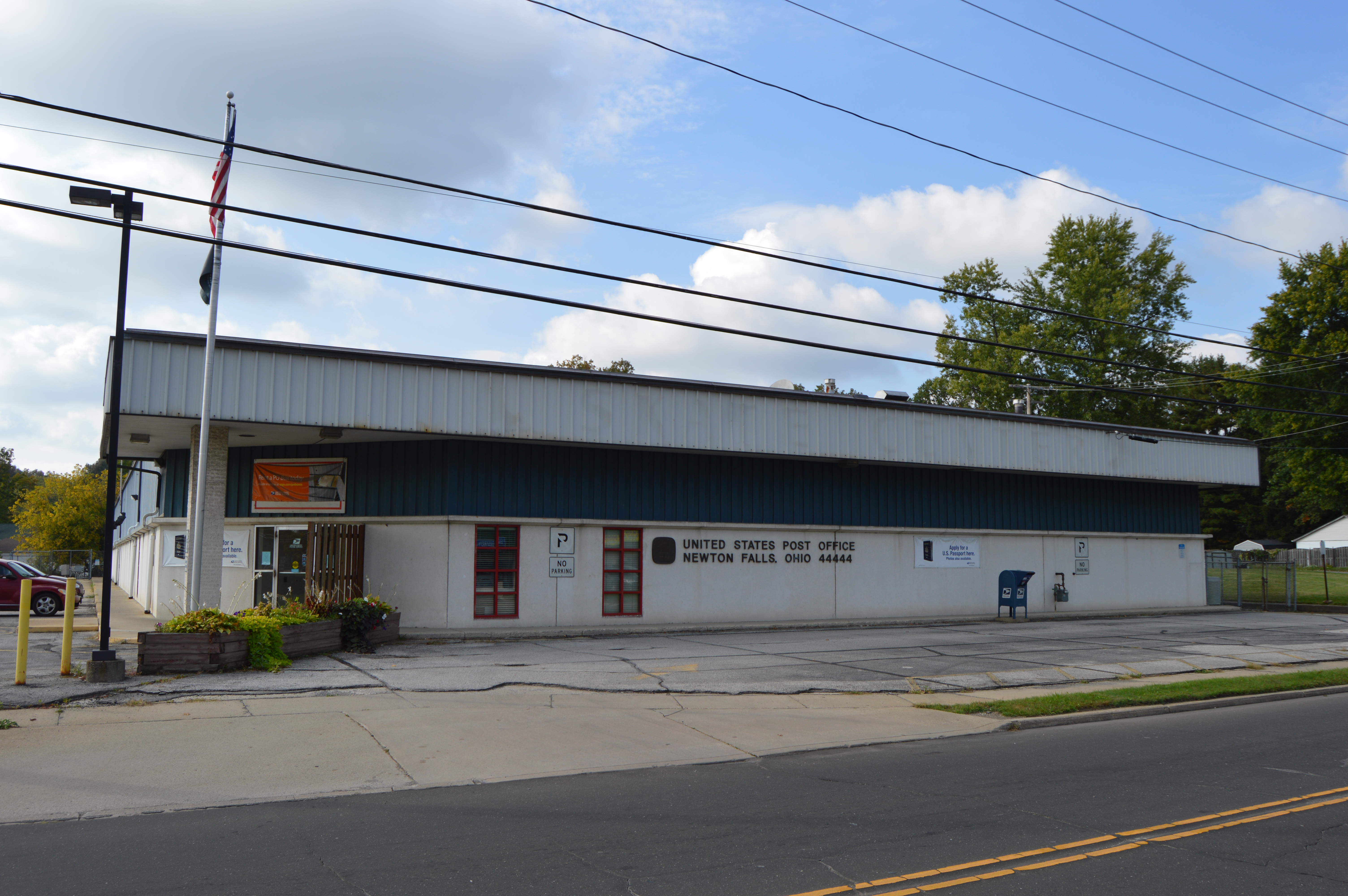
Newton Falls is a village in southwestern Trumbull County, Ohio, United States. The population was 4,557 at the 2020 census. It is part of the Youngstown–Warren metropolitan area. The city takes its name from the two sets of waterfalls within the village, each on different branches of the Mahoning River. The city is known for its unique ZIP code (44444) and for its covered bridge, which is the second oldest in the state of Ohio.[6]
Newton Falls, Ohio | |
|---|---|
Village | |
| Village of Newton Falls | |
 Water tower and dam in Newton Falls | |
| Motto: "Working toward a better tomorrow!" | |
 Location of Newton Falls in Trumbull County within the state of Ohio | |
| Coordinates: 41°11′18″N 80°58′41″W[1] | |
| Country | United States |
| State | Ohio |
| County | Trumbull |
| Government | |
| • Type | Chartered |
| • Mayor | Kenneth Kline |
| Area | |
| • Total | 2.39 sq mi (6.19 km2) |
| • Land | 2.31 sq mi (5.98 km2) |
| • Water | 0.08 sq mi (0.21 km2) |
| Elevation | 928 ft (283 m) |
| Population | |
| • Total | 4,557 |
| • Density | 1,900/sq mi (740/km2) |
| Time zone | UTC-5 (Eastern (EST)) |
| • Summer (DST) | UTC-4 (EDT) |
| ZIP code | 44444 |
| Area code(s) | 234/330 |
| FIPS code | 39-55650[5] |
| Website | http://ci.newtonfalls.oh.us/ |
History
It is believed that early property owners of Newton Township spent time in Newtown, Connecticut before departing for the Ohio Country and that the name Newton may be a corruption of Newtown.[7] The village's name stems from its location on the falls on the Mahoning River. It grew in to a home of the steel manufacturing industry, as did much of the region, aided by its location along the river and the proximity of the nearby Ravenna Training and Logistics Site.[8]
On May 31, 1985, an F5 tornado struck the city as part of the 1985 United States-Canadian tornado outbreak, a deadly series of tornadoes that swept through Ohio, Pennsylvania, New York, and Ontario. The tornado that hit Newton Falls was the only F5 in Ohio that day, and damaged most of the downtown, destroying many homes and businesses,[9] and damaging the senior and junior high schools (it destroyed the gymnasium and rendered the junior high unusable). There were between 70 and 80 injuries, and 400 families were left homeless.[10][11] The Ohio Army National Guard credited warning sirens for the lack of fatalities.[10][12] A monument was erected in 2022 memorializing the devastation. It is situated at the corner of Broad and Center Streets.
On July 6, 2012, the city was shaken by a shooting rampage in the East River Gardens apartment complex. Robert Brazzon murdered four people, including a 15-year-old boy, before taking his own life in a city cemetery.[13]
Geography
According to the United States Census Bureau, the village has a total area of 2.39 square miles (6.19 km2), of which 2.31 square miles (5.98 km2) is land and 0.08 square miles (0.21 km2) is water.[2]
The Mahoning River flows through Newton Falls.
Demographics
| Historical population | |||
|---|---|---|---|
| Census | Pop. | %± | |
| 1880 | 575 | — | |
| 1890 | 698 | 21.4% | |
| 1900 | 732 | 4.9% | |
| 1910 | 757 | 3.4% | |
| 1920 | 1,100 | 45.3% | |
| 1930 | 3,458 | 214.4% | |
| 1940 | 3,120 | −9.8% | |
| 1950 | 4,451 | 42.7% | |
| 1960 | 5,038 | 13.2% | |
| 1970 | 5,378 | 6.7% | |
| 1980 | 4,960 | −7.8% | |
| 1990 | 4,866 | −1.9% | |
| 2000 | 5,002 | 2.8% | |
| 2010 | 4,795 | −4.1% | |
| 2020 | 4,557 | −5.0% | |
| U.S. Decennial Census[14] | |||
2010 census
As of the census[3] of 2010, there were 4,795 people, 2,064 households, and 1,236 families residing in the village. The population density was 2,075.8 inhabitants per square mile (801.5/km2). There were 2,395 housing units at an average density of 1,036.8 per square mile (400.3/km2). The racial makeup of the village was 97.6% White, 0.8% African American, 0.1% Native American, 0.1% Asian, 0.2% from other races, and 1.2% from two or more races. Hispanic or Latino of any race were 1.1% of the population.
There were 2,064 households, of which 29.3% had children under the age of 18 living with them, 41.9% were married couples living together, 13.9% had a female householder with no husband present, 4.1% had a male householder with no wife present, and 40.1% were non-families. 34.8% of all households were made up of individuals, and 15.2% had someone living alone who was 65 years of age or older. The average household size was 2.30 and the average family size was 2.98.
The median age in the village was 40 years. 23.4% of residents were under the age of 18; 7.8% were between the ages of 18 and 24; 25.3% were from 25 to 44; 26.4% were from 45 to 64; and 17.1% were 65 years of age or older. The gender makeup of the village was 47.5% male and 52.5% female.
2000 census
As of the census[5] of 2000, there were 5,002 people, 2,171 households, and 1,346 families residing in the city. The population density was 2,193.1 people per square mile (847.1/km2). There were 2,376 housing units at an average density of 1,041.7 per square mile (402.4/km2). The racial makeup of the city was 98.10% White, 0.38% African American, 0.42% Native American, 0.06% Asian, 0.04% Pacific Islander, 0.24% from other races, and 0.76% from two or more races. Hispanic or Latino of any race were 0.64% of the population.
There were 2,171 households, out of which 28.9% had children under the age of 18 living with them, 46.1% were married couples living together, 12.1% had a female householder with no husband present, and 38.0% were non-families. 33.3% of all households were made up of individuals, and 14.9% had someone living alone who was 65 years of age or older. The average household size was 2.30 and the average family size was 2.95.
In the village the population was spread out, with 24.8% under the age of 18, 8.0% from 18 to 24, 29.1% from 25 to 44, 22.2% from 45 to 64, and 15.9% who were 65 years of age or older. The median age was 37 years. For every 100 females there were 89.2 males. For every 100 females age 18 and over, there were 85.7 males.
The median income for a household in the village was $32,827, and the median income for a family was $41,250. Males had a median income of $34,067 versus $21,992 for females. The per capita income for the village was $16,039. About 8.1% of families and 10.5% of the population were below the poverty line, including 18.8% of those under age 18 and 4.5% of those age 65 or over.
Government
The village government consists of five elected city councilmen (each representing different wards), an elected mayor (who serves on the council and votes in the event of a tie), and a village manager. The council meets on the first and third Wednesday of the month at 6:00 pm in the Council Chambers of the administration building.[15]
- Mayor: Ken Kline (term expires 12/31/2023)[15]
- Ward 1: Gideon "Bud" Fetterolf (term expires 12/31/2023)[15]
- Ward 2: John Baryak (term expires 12/31/2023)[15]
- Ward 3: Tesa Spletzer (term expires 12/31/2025)[15]
- Ward 4: Christopher Granchie (term expires 12/31/2023)[15]
- At-Large: Julie Stimpert (term expires 12/31/2025)[15]
- Village Manager: Pamela Priddy (interim) [16]
- Law Director: Bradric Bryan [16]
- Finance Director: Sean Housley (interim) [16]
- Village Clerk: Michael Acomb [16]
Education

Newton Falls is served by the Newton Falls Exempted Village Schools district. The current schools serving Newton Falls include:
- Newton Falls Elementary/Middle School – grades K-5
- Newton Falls Junior/Senior High School – grades 6-12
Media
Newspapers
- The Bridge (defunct)
- The Newton Falls Herald (defunct)
- The Review
- The Weekly Villager
Transportation
Major highways
- Interstate 80
Other highways
- Ohio State Route 5
- Ohio State Route 534
The Baltimore & Ohio's Pittsburgh to Chicago main line ran through the town.[17] "The Tower", a historic train station, was demolished in 2011 after suffering extensive damage in a train derailment.[18]
Arts and culture
Covered Bridge

Newton Falls is home to the early 19th-century Newton Falls covered bridge, which was constructed over the Mahoning River in 1831. A walkway was added to the side of the bridge in 1921–1922. In 1985 the bridge was repaired after being damaged by the Niles/Wheatland tornado.[19] In December 2007 the bridge was reopened after a two-year restoration funded by government grants. In July 2009 a delivery truck damaged the bridge and rendered it out of service until repairs could be made. It reopened in 2010.[20] The Newton Falls bridge is considered the second oldest existing covered bridge in Ohio, the oldest covered bridge in use on its original site, the only covered bridge in the state with a covered crosswalk, and the last surviving covered bridge in Trumbull County. Built on the Town Lattice truss plan, the bridge is 123 feet long and twenty-four feet wide. It has a clear span of 101 1/2 feet and a sixteen-foot-wide roadway.[6]
Fourth of July festivities
This section needs additional citations for verification. (August 2013) |
The village last celebrated Dicker Days in 2021. It holds the largest Fourth of July Festivities in the county, which have been annual since 1946. The normally sleepy little town brings in up to 40,000 spectators to view the Parade and Fireworks, as well as a week-long carnival with entertainment provided by the Newton Falls Fourth of July Festivities Committee which is made up entirely of volunteers. The committee raises money for the fireworks through a Car Show, Bike Show, and 10,000 Dollar Raffle, in addition to donations.
Notable people
- Clara Louise Bell, artist[21]
- Patricia Cooksey, horse jockey
- Edward H. Ives, Wisconsin State Senator
- Jack Kucek, major league baseball player
- Earnie Shavers, heavyweight boxing contender
References
- U.S. Geological Survey Geographic Names Information System: Newton Falls, Ohio
- "US Gazetteer files 2010". United States Census Bureau. Archived from the original on July 2, 2012. Retrieved January 6, 2013.
- "U.S. Census website". United States Census Bureau. Retrieved January 6, 2013.
- "Lake Tomahawk CDP, Ohio". U.S. Census Bureau. Retrieved March 24, 2022.
- "U.S. Census website". United States Census Bureau. Retrieved January 31, 2008.
- "Newton Falls Covered Bridge Historical Marker". www.hmdb.org.
- " Archived 2011-07-19 at the Wayback Machine". Newton Falls Public Library. Retrieved 2009-11-09.
- "Newton Falls & Newton Township, Ohio History Archived July 19, 2011, at the Wayback Machine". Newton Falls Public Library. Retrieved November 9, 2009.
- Berger, Joseph (June 2, 1985). "DEATH TOLL RISES TO 85 IN TORNADOES IN U.S. AND CANADA". New York Times. Retrieved August 1, 2018.
- Green, Larry (June 2, 1985). "Tornadoes Death Toll Rises to 90 Thousands in Ohio, Pennsylvania Left Homeless in Storms: [Home Edition]". Los Angeles Times. ProQuest 292109739.
- "Tornado Photos and Video". Retrieved January 31, 2007.
- Unknown (June 1, 1985). "Pennsylvania, Ohio and Canada Twisters Kill 45 Hundreds Injured, Devastation is Widespread as Single Storm System Spawns Many Tornadoes:[Home Edition]". Los Angeles Times. ProQuest 292150984.
- "Newton Falls mass murderer killed family over drug theft". wkbn.com. Archived from the original on January 13, 2018.
- "Census of Population and Housing". Census.gov. Retrieved June 4, 2015.
- "Mayor and Council". The City of Newton Falls. 2020.
- "Administration". City of Newton Falls. Retrieved August 9, 2020.
- Tylick, Michael (January 1, 2002). "Model Tech's O scale Baltimore & Ohio station wood craftsman kit" (January 2002). Retrieved April 14, 2020.
{{cite journal}}: Cite journal requires|journal=(help) - "CSX derailment near Youngstown forces demolition of tower". BLET. Brotherhood of Locomotive Engineers and Trainmen. Retrieved April 14, 2020.
- "Covered Bridge Archived July 19, 2011, at the Wayback Machine". Newton Falls Public Library. Retrieved November 9, 2009.
- Runyan, Ed (October 22, 2009). "Covered bridge to stay closed for $57K repairs". The Vindicator. Retrieved November 9, 2009.
- "Clara Louise Bell". Smithsonian American Art Museum. Smithsonian Institution. Retrieved December 17, 2015.
External links
Municipalities and communities of Trumbull County, Ohio, United States | ||
|---|---|---|
County seat: Warren | ||
| Cities |  | |
| Villages | ||
| Townships | ||
| CDPs | ||
| Unincorporated communities |
| |
| Footnotes | ‡This populated place also has portions in an adjacent county or counties | |
| ||
Authority control | |
|---|---|
| General | |
| National libraries | |
| Other |
|
На других языках
[de] Newton Falls
Newton Falls ist eine Stadt, die innerhalb des Newton Townships im Trumbull County, Ohio, Vereinigte Staaten gelegen ist. Die Bevölkerungszahl betrug 5002 bei der Zählung 2000, damit ist die für eine City ausschlaggebende Grenze von 5000 Einwohnern knapp überschritten worden. Bekannt ist die Stadt auch für ihre auffällige Postleitzahl (44444).- [en] Newton Falls, Ohio
Другой контент может иметь иную лицензию. Перед использованием материалов сайта WikiSort.org внимательно изучите правила лицензирования конкретных элементов наполнения сайта.
WikiSort.org - проект по пересортировке и дополнению контента Википедии