world.wikisort.org - USA
Mazama (/məˈzæmə/ mə-ZAM-ə)[2] is an unincorporated community in Okanogan County (population 158) located in the Methow Valley of Washington, on the east slopes of the North Cascades and North Cascades National Park. It is located along the North Cascades Highway (Highway 20), 14 miles (23 km) northwest of Winthrop and about 28 miles (45 km) south of the Canada–United States border. Mazama's town center elevation is 2,106 feet (642 m), and it is located 2.7 miles (4.3 km) south of and 4,895 feet (1,492 m) below Goat Peak.[3][4]
Mazama, Washington | |
|---|---|
Unincorporated community | |
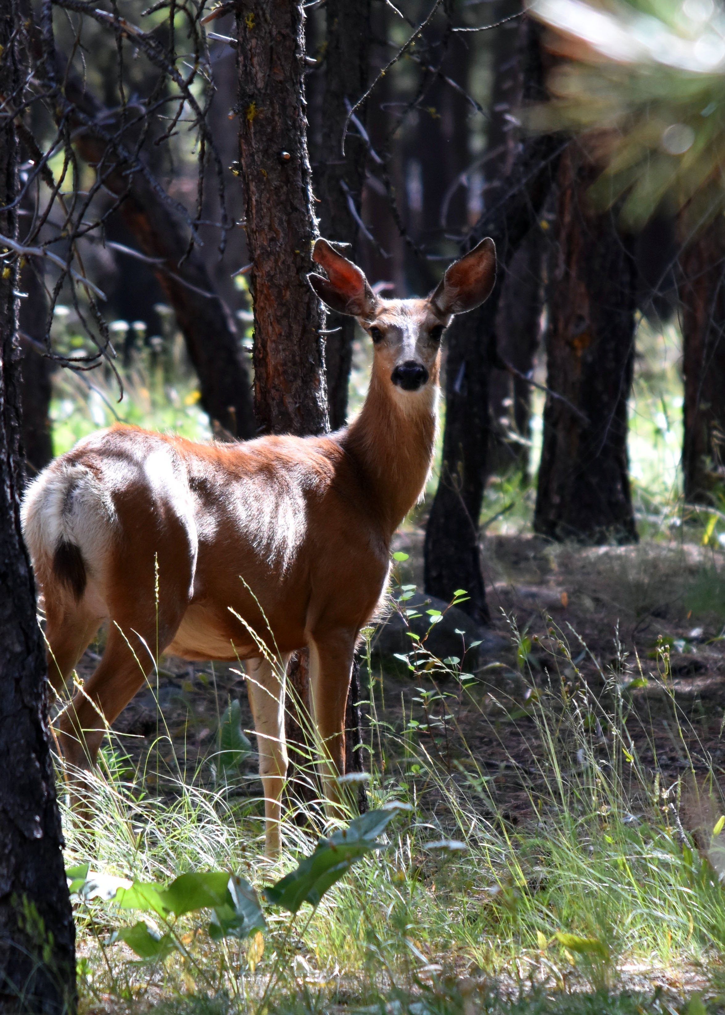
 A small meadow in Mazama | |
 Mazama, Washington | |
| Coordinates: 48°35′34″N 120°24′17″W | |
| Country | United States |
| State | Washington |
| County | Okanogan |
| Elevation | 2,106 ft (642 m) |
| Time zone | UTC-8 (Pacific (PST)) |
| • Summer (DST) | UTC-7 (PDT) |
| ZIP code | 98833 |
| Area code | 509 |
| GNIS feature ID | 1522828[1] |
Founded around the beginning of the twentieth century, Mazama boomed as the departure point for mining towns in the rugged Harts Pass area, such as Barron, Chancellor, and Robinson.[5] Recently considered little more than a pit-stop, Mazama "town" is centered at the intersection of Lost River Road and Country Road 9140. Mazama offers a general store, an adventure supply store, a gas station, a café, and two restaurants.[6][7] It has been a destination for summer weddings, rock climbing, mountaineering, and winter sports with options for heli-skiing, back-country and cross country skiing. It is home to one of the world’s longest cross-country skiing trails, stretching for 120 miles (190 km) and running through the settlement.
Name
Pronunciation of Mazama: Ma·za'·ma | \ mə-zæ-mə \
The second syllable is pronounced "zam", not "zahm" (as pronounced in "gone").[8]
In the 19th century the town was called "Goat Creek", after a creek at the base of nearby Goat Peak (then called Goat Mountain).[5] When the former post office was secured in 1899, the settlers chose a name they thought was Greek for "mountain goat". They later discovered that they had looked in the wrong dictionary and, according to Edmond S. Meany, the meaning of "Mazama" was not "mountain goat" in Greek.[9]
It is still believed that Mazama means mountain goat, originating from local Native American dialect, although this cannot be confirmed. It can be found, however, that a taxonomic group of Brocket deer are in the genus Mazama and are native and endemic to Central and Southern Americas. The name is derived from the similarly spelled mazameh of the Nahuatl, meaning deer.[10]
Ecology

The Methow River flows immediately to the south of Mazama, where it provides spawning habitat to spring Chinook salmon.[11]
Forests of native Douglas-fir and Ponderosa pine are widespread in Mazama and its surroundings, with ample Cottonwood along creeks and rivers.[citation needed]
Over seventy species of mammals are indigenous to the area.[12] This includes the Northern pocket gopher, but ironically, not the Mazama pocket gopher.
Climate
Mazama has a humid continental climate (Köppen Dsb) with warm, dry summers, and cold, snowy winters. It lies immediately leeward of the North Cascades, which trap much of the precipitation carried from the Pacific Ocean by prevailing westerly winds. This rain shadow strengthens with increasing distance from the Cascade crest: semi-arid Winthrop. Winthrop, approximately 14 miles further down-valley, receives a little over half the annual precipitation of Mazama. Mazama’s relatively heavy snowfall, along with the brief hours of winter daylight in a deep mountain valley, inspired the first settlers to nickname the area "Early Winters."
Washington’s record cold temperature was measured in both Mazama and Winthrop: −48 °F (−44 °C) on December 30, 1968.[13]
| Climate data for Mazama, Washington | |||||||||||||
|---|---|---|---|---|---|---|---|---|---|---|---|---|---|
| Month | Jan | Feb | Mar | Apr | May | Jun | Jul | Aug | Sep | Oct | Nov | Dec | Year |
| Record high °F (°C) | 58 (14) |
55 (13) |
74 (23) |
90 (32) |
97 (36) |
112 (44) |
109 (43) |
103 (39) |
101 (38) |
84 (29) |
65 (18) |
51 (11) |
112 (44) |
| Average high °F (°C) | 28.7 (−1.8) |
36.4 (2.4) |
46.1 (7.8) |
57.3 (14.1) |
66.8 (19.3) |
74.2 (23.4) |
82.5 (28.1) |
82.5 (28.1) |
73.2 (22.9) |
56.8 (13.8) |
37.7 (3.2) |
27.7 (−2.4) |
55.9 (13.3) |
| Daily mean °F (°C) | 21.1 (−6.1) |
27.2 (−2.7) |
35.5 (1.9) |
44.5 (6.9) |
53.2 (11.8) |
60.5 (15.8) |
67.1 (19.5) |
66.8 (19.3) |
57.6 (14.2) |
44.4 (6.9) |
30.7 (−0.7) |
21.0 (−6.1) |
44.1 (6.7) |
| Average low °F (°C) | 13.5 (−10.3) |
17.9 (−7.8) |
24.8 (−4.0) |
31.4 (−0.3) |
39.5 (4.2) |
46.7 (8.2) |
51.8 (11.0) |
51.0 (10.6) |
42.1 (5.6) |
31.9 (−0.1) |
23.7 (−4.6) |
14.3 (−9.8) |
32.4 (0.2) |
| Record low °F (°C) | −32 (−36) |
−21 (−29) |
−8 (−22) |
10 (−12) |
20 (−7) |
26 (−3) |
27 (−3) |
32 (0) |
19 (−7) |
8 (−13) |
−14 (−26) |
−48 (−44) |
−48 (−44) |
| Average precipitation inches (mm) | 3.90 (99) |
2.32 (59) |
1.78 (45) |
1.02 (26) |
1.01 (26) |
1.03 (26) |
0.67 (17) |
0.68 (17) |
0.80 (20) |
1.64 (42) |
3.32 (84) |
4.05 (103) |
22.22 (564) |
| Average snowfall inches (cm) | 35.6 (90) |
19.0 (48) |
8.1 (21) |
0.3 (0.76) |
0 (0) |
0 (0) |
0 (0) |
0 (0) |
0 (0) |
1.8 (4.6) |
16.7 (42) |
39.4 (100) |
120.8 (307) |
| Average precipitation days (≥ 0.01 in) | 14 | 11 | 9 | 7 | 7 | 6 | 5 | 5 | 5 | 9 | 13 | 15 | 106 |
| Source: WRCC (normals 1950-2012)[14] | |||||||||||||
The average seasonal snowfall for the Mazama area is 119.7 inches, with an average of 136 days per year having at least 1 inch of snow on the ground. The greatest snow depth at any one time during the period of record, 62 inches, was recorded on January 1, 1997.[15]
Geology

Soils are characteristically Leiko[16] stony ashy sandy loam.[17] Rock types in surrounding areas include Cretaceous Andesite, and Quaternary Alluvium which is mostly in the valley.
Activities
Cross-country skiing, snowshoeing, hiking, rock climbing and mountaineering.
References
- U.S. Geological Survey Geographic Names Information System: Mazama, Washington
- Bolton, Bob; Beavon, Fred. "Washington Placenames Pronunciation". County Highpointers Association. Retrieved July 7, 2013.
- "Mazama". Geographic Names Information System. United States Geological Survey, United States Department of the Interior. 1979-09-10. Retrieved 2012-11-15.
- "Goat Peak". ListsOfJohn.com. Retrieved 2012-11-14.
- Smith, Jerry (2011). Boom Towns & Relic Hunters of Washington State. Seattle, WA: Classic Day Publishing. p. 52. ISBN 978-1-59849-120-3.
- "Home". mazama.org.
- "Goat's Beard Mountain Supplies". Retrieved 2013-06-25.
- "Washington Placenames Pronunciation".
- Meany, Edmond S. (1920). "Origin of Washington Geographic Names". The Washington Historical Quarterly. Washington University State Historical Society. XI: 133. Retrieved 2009-06-11.
- See https://en.wiktionary.org/wiki/mazameh#Classical_Nahuatl
- Upper Columbia River Steelhead and Spring Chinook Salmon Biological Requirements Committee (March 2001). "Upper Columbia River Steelhead and Spring Chinook Salmon Population Structure and Biological Requirements" (PDF). Seattle, WA: National Marine Fisheries Service, Northwest Fisheries Science Center. Archived from the original (PDF) on May 28, 2010. Retrieved July 7, 2013.
- "Mammals of the Methow Watershed" (PDF). The Methow Naturalist. 2010. Archived from the original (PDF) on October 15, 2013. Retrieved July 7, 2013.
- "United States Extreme Record Temperatures & Differences". Retrieved 2008-11-22.
- "General Climate Summary Tables". Western Regional Climate Center. Retrieved November 25, 2012.
- "Soil Survey of Okanogan National Forest Area, Washington" (PDF). United States Department of Agriculture, Natural Resources Conservation Service. 2008. p. 2. Archived from the original (PDF) on February 24, 2013. Retrieved July 7, 2013.
- "Leiko series". Retrieved July 7, 2013.
- "Soil Survey of Okanogan National Forest Area, Washington" (PDF). United States Department of Agriculture, Natural Resources Conservation Service. 2008. Archived from the original (PDF) on February 24, 2013. Retrieved July 7, 2013.
External links
![]() Media related to Mazama, Washington at Wikimedia Commons
Media related to Mazama, Washington at Wikimedia Commons
Municipalities and communities of Okanogan County, Washington, United States | ||
|---|---|---|
County seat: Okanogan | ||
| Cities |  | |
| Towns | ||
| CDPs |
| |
| Unincorporated communities | ||
| Indian reservation |
| |
| Ghost towns | ||
| Footnotes | ‡This populated place also has portions in an adjacent county or counties | |
| ||
Authority control | |
|---|---|
| General |
|
| National libraries | |
На других языках
[de] Mazama (Washington)
Mazama (.mw-parser-output .IPA a{text-decoration:none}məˈzæmə)[1] ist ein gemeindefreies Gebiet im Okanogan County im Methow River Valley im US-Bundesstaat Washington am Ost-Abhang der Nördlichen Kaskadenkatte und des North-Cascades-Nationalparks. Es erstreckt sich entlang der Washington State Route 20 („North Cascades Highway“), etwa 23 km nordwestlich von Winthrop und etwa 45 km südlich der Grenze zwischen Kanada und den Vereinigten Staaten. Mazamas Zentrum liegt 642 m hoch und etwa 4,3 km südlich des Goat Peak.[2][3]- [en] Mazama, Washington
Другой контент может иметь иную лицензию. Перед использованием материалов сайта WikiSort.org внимательно изучите правила лицензирования конкретных элементов наполнения сайта.
WikiSort.org - проект по пересортировке и дополнению контента Википедии