world.wikisort.org - USA
Farmville is a community in southeastern Chatham County, North Carolina, United States, which was once called Coal Glen. The area was the site of coal mining activities from the 18th century up the mid-1950s, and was the site of the 1925 Coal Glen mine disaster.
Farmville, North Carolina | |
|---|---|
Populated place | |
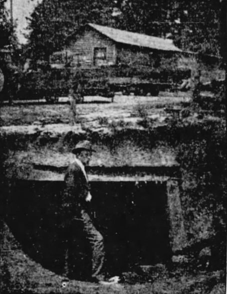 Coal Glen mine, 1923 | |
| Coordinates: 35°34′15″N 79°13′12″W | |
| Country | United States |
| State | North Carolina |
| County | Chatham |
| Elevation | 282 ft (86 m) |
| Time zone | UTC-5 (Eastern (EST)) |
| • Summer (DST) | UTC-4 (EDT) |
| ZIP code | 27330 |
| Area code | 919 |
| GNIS feature ID | 1020221 |
By the time of the 1925 disaster, the town consisted of several homes and a company store.[1]
The Deep River coal field, 12 miles (19 km) long, included the Coal Glen and Egypt (Cumnock) mines.[2]
A historical marker noting the mine disaster was dedicated June 3, 2017 at Farmville Community Church at U.S. 15-501 and Walter Bright Road north of Sanford.[3]
Geography
Farmville is located at latitude 35|34|15|N| and longitude 79|13|12|W. The elevation is 282 feet (86 m).[4]
References
- "Little left at site of explosion". Wilmington Morning Star. Associated Press. September 2, 1992. p. 4B.
- Leonard, Teresa (2017-06-02). "Highway marker stirs memories of 1925 coal mine disaster". News & Observer. Retrieved 2017-06-02.
- "Coal Glen Mine Disaster NC Highway Historical Marker Dedication" (PDF). Retrieved 2017-06-02.
- "Farmville (in Chatham County, NC) Populated Place Profile". NC Hometown Locator. Retrieved 2017-06-02.
- UNC Library: This Month in North Carolina History: The Coal Glen Mine Disaster
- William S. Powell, The North Carolina Gazetteer (Chapel Hill: UNC Press, 1968).
External links
Municipalities and communities of Chatham County, North Carolina, United States | ||
|---|---|---|
County seat: Pittsboro | ||
| Towns |  | |
| CDPs | ||
| Other communities |
| |
| Footnotes | ‡This populated place also has portions in an adjacent county or counties | |
| ||
Текст в блоке "Читать" взят с сайта "Википедия" и доступен по лицензии Creative Commons Attribution-ShareAlike; в отдельных случаях могут действовать дополнительные условия.
Другой контент может иметь иную лицензию. Перед использованием материалов сайта WikiSort.org внимательно изучите правила лицензирования конкретных элементов наполнения сайта.
Другой контент может иметь иную лицензию. Перед использованием материалов сайта WikiSort.org внимательно изучите правила лицензирования конкретных элементов наполнения сайта.
2019-2026
WikiSort.org - проект по пересортировке и дополнению контента Википедии
WikiSort.org - проект по пересортировке и дополнению контента Википедии