world.wikisort.org - Vereinigte_Staaten
Das Dakota County[2] ist ein County im US-amerikanischen Bundesstaat Minnesota. Im Jahr 2010 hatte das County 398.552 Einwohner und eine Bevölkerungsdichte von 270 Einwohnern pro Quadratkilometer.[3] Der Verwaltungssitz (County Seat) ist Hastings[4], das nach dem Gouverneur Henry Hastings Sibley benannt wurde.
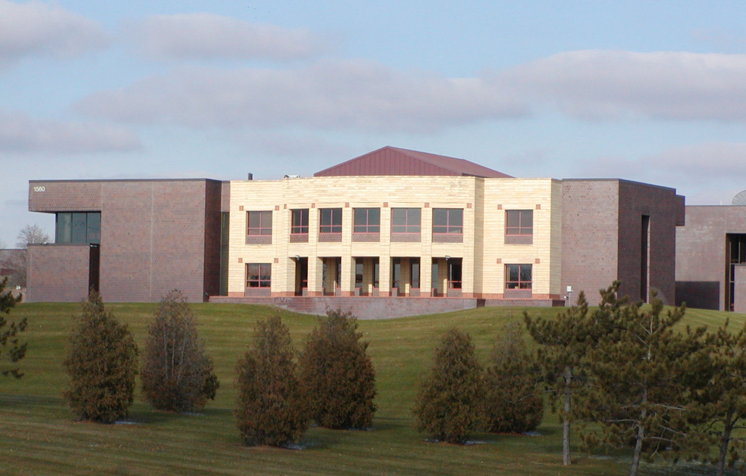 Das Dakota County Government Building in Hastings | |
| Verwaltung | |
|---|---|
| US-Bundesstaat: | Minnesota |
| Verwaltungssitz: | Hastings |
| Adresse des Verwaltungssitzes: |
County Courthouse 1590 West Highway 55 Hastings, MN 55033-2372 |
| Gründung: | 27. Oktober 1849 |
| Gebildet aus: | freiem Territorium |
| Vorwahl: | 001 651 |
| Demographie | |
| Einwohner: | 439.882 (Stand: 2020) |
| Bevölkerungsdichte: | 298,02 Einwohner/km2 |
| Geographie | |
| Fläche gesamt: | 1519 km² |
| Wasserfläche: | 43 km² |
| Karte | |
 | |
| Website: www.co.dakota.mn.us | |
![Das frühere Dakota County Courthouse in Hastings, gelistet im NRHP Nr. 78003069[1]](http://upload.wikimedia.org/wikipedia/commons/c/cd/HastingsCH.jpg)
Das Dakota County bildet den südöstlichen Teil der Metropolregion Minneapolis–Saint Paul.
Geografie
Das County liegt im Südosten von Minnesota, grenzt im Nordosten an Wisconsin, wobei die Grenze durch den Mississippi gebildet wird. Die Nordgrenze des Dakota Countys wird vom Minnesota River gebildet. Es hat eine Fläche von 1519 Quadratkilometern, wovon 43 Quadratkilometer Wasserfläche sind. An das Dakota County grenzen folgende Nachbarcountys:
| Hennepin County | Ramsey County | Washington County |
| Scott County |  |
Pierce County (Wisconsin) |
| Rice County | Goodhue County |
Geschichte
Das Dakota County wurde am 27. Oktober 1849 aus als frei bezeichneten, in Wirklichkeit aber von Indianern besiedeltem, Territorium gebildet. Benannt wurde das County nach den ursprünglich hier siedelnden Dakota.
Ein Ort im Dakota County hat den Status einer National Historic Landmark, das Fort Snelling.[5] 35 Bauwerke und Stätten des Countys sind insgesamt im National Register of Historic Places eingetragen (Stand 28. Januar 2018).[6]
Demografische Daten
| Bevölkerungsentwicklung | |||
|---|---|---|---|
| Census | Einwohner | ± rel. | |
| 1850 | 584 | — | |
| 1860 | 9093 | 1.457 % | |
| 1870 | 16.312 | 79,4 % | |
| 1880 | 17.391 | 6,6 % | |
| 1890 | 20.240 | 16,4 % | |
| 1900 | 21.733 | 7,4 % | |
| 1910 | 25.171 | 15,8 % | |
| 1920 | 28.967 | 15,1 % | |
| 1930 | 34.592 | 19,4 % | |
| 1940 | 39.660 | 14,7 % | |
| 1950 | 49.019 | 23,6 % | |
| 1960 | 78.303 | 59,7 % | |
| 1970 | 139.808 | 78,5 % | |
| 1980 | 194.279 | 39 % | |
| 1990 | 275.227 | 41,7 % | |
| 2000 | 355.904 | 29,3 % | |
| 2010 | 398.552 | 12 % | |
| 2020 | 439.882 | 10,4 % | |
| Vor 1900[7] 1900–1990[8] 2000[4] 2010[3] | |||


Nach der Volkszählung im Jahr 2010 lebten im Dakota County 398.552 Menschen in 151.719 Haushalten. Die Bevölkerungsdichte betrug 270 Einwohner pro Quadratkilometer. In den 151.719 Haushalten lebten statistisch je 2,6 Personen.
Ethnisch betrachtet setzte sich die Bevölkerung zusammen aus 87,4 Prozent Weißen, 4,9 Prozent Afroamerikanern, 0,5 Prozent amerikanischen Ureinwohnern, 4,6 Prozent Asiaten, 0,1 Prozent Asiaten Polynesiern sowie aus anderen ethnischen Gruppen; 2,5 Prozent stammten von zwei oder mehr Ethnien ab. Unabhängig von der ethnischen Zugehörigkeit waren 6,1 Prozent der Bevölkerung spanischer oder lateinamerikanischer Abstammung.
25,9 Prozent der Bevölkerung waren unter 18 Jahre alt, 63,7 Prozent waren zwischen 18 und 64 und 10,4 Prozent waren 65 Jahre oder älter. 50,9 Prozent der Bevölkerung war weiblich.
Das jährliche Durchschnittseinkommen eines Haushalts lag bei 73.723 USD. Das Pro-Kopf-Einkommen betrug 34.822 USD. 6,0 Prozent der Einwohner lebten unterhalb der Armutsgrenze.[3]
Ortschaften im Dakota County
Citys
|
|
Unincorporated Communities
- Antlers Park
- Castle Rock
- Eureka Center
- Waterford
Gliederung
Das Dakota County ist neben den 21 Citys in 13 Townships eingeteilt:[9]
|
|
Siehe auch
- Liste der Einträge im National Register of Historic Places im Dakota County
Einzelnachweise
- Auszug aus dem National Register of Historic Places Abgerufen am 13. März 2011
- GNIS-ID: 659464. Abgerufen am 22. Februar 2011 (englisch).
- U.S. Census Buero, State & County QuickFacts – Dakota County, MN (Memento vom 9. Juli 2011 auf WebCite) Abgerufen am 6. Februar 2013
- National Association of Counties Abgerufen am 6. Februar 2013
- Listing of National Historic Landmarks by State: Minnesota. National Park Service, abgerufen am 28. Januar 2018.
- Suchmaske Datenbank im National Register Information System. National Park Service, abgerufen am 28. Januar 2018.
- U.S. Census Bureau _ Census of Population and Housing Abgerufen am 17. Februar 2011
- Auszug aus Census.gov. Abgerufen am 17. Februar 2011
- Census 2010 – Minnesota, abgerufen am 5. Mai 2020
Weblinks
Liste der Countys in Minnesota
Aitkin |
Anoka |
Becker |
Beltrami |
Benton |
Big Stone |
Blue Earth |
Brown |
Carlton |
Carver |
Cass |
Chippewa |
Chisago |
Clay |
Clearwater |
Cook |
Cottonwood |
Crow Wing |
Dakota |
Dodge |
Douglas |
Faribault |
Fillmore |
Freeborn |
Goodhue |
Grant |
Hennepin |
Houston |
Hubbard |
Isanti |
Itasca |
Jackson |
Kanabec |
Kandiyohi |
Kittson |
Koochiching |
Lac qui Parle |
Lake |
Lake of the Woods |
Le Sueur |
Lincoln |
Lyon |
Mahnomen |
Marshall |
Martin |
McLeod |
Meeker |
Mille Lacs |
Morrison |
Mower |
Murray |
Nicollet |
Nobles |
Norman |
Olmsted |
Otter Tail |
Pennington |
Pine |
Pipestone |
Polk |
Pope |
Ramsey |
Red Lake |
Redwood |
Renville |
Rice |
Rock |
Roseau |
Scott |
Sherburne |
Sibley |
St. Louis |
Stearns |
Steele |
Stevens |
Swift |
Todd |
Traverse |
Wabasha |
Wadena |
Waseca |
Washington |
Watonwan |
Wilkin |
Winona |
Wright |
Yellow Medicine
На других языках
- [de] Dakota County (Minnesota)
[en] Dakota County, Minnesota
Dakota County is the third-most populous county in the U.S. state of Minnesota, located in the east central portion of the state. As of the 2020 census, the population was 439,882. The population of Dakota County was estimated to be 442,038 in 2021.[2] The county seat is Hastings.[3] Dakota County is named for the Dakota Sioux tribal bands who inhabited the area.[4] The name is recorded as "Dahkotah" in the United States Census records until 1851.[5] Dakota County is included in the Minneapolis–St. Paul–Bloomington, MN–WI Metropolitan Statistical Area, the sixteenth largest metropolitan area in the United States with about 3.64 million residents. The largest city in Dakota County is the city of Lakeville, the eleventh-largest city in Minnesota and sixth-largest Twin Cities suburb. The county is bordered by the Minnesota and Mississippi Rivers on the north, and the state of Wisconsin on the east.[ru] Дакота (округ, Миннесота)
Дакота (англ. Dakota County) — округ в штате Миннесота, США. Столица — Хейстингс, крупнейший город — Иган. По переписи 2000 года в округе проживают 355 904 человека. Площадь — 1519 км², из которых 1475,6 км² — суша, а 43,4 км² — вода. Плотность населения составляет 241 чел./км².Другой контент может иметь иную лицензию. Перед использованием материалов сайта WikiSort.org внимательно изучите правила лицензирования конкретных элементов наполнения сайта.
WikiSort.org - проект по пересортировке и дополнению контента Википедии