world.wikisort.org - United_Kingdom
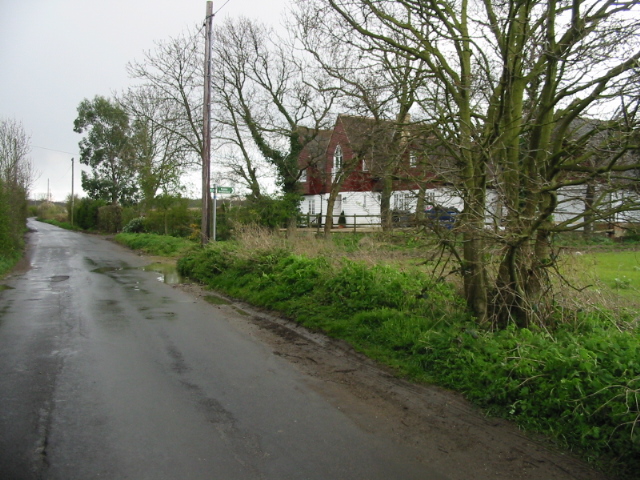
Yorkletts is a settlement two miles south of Whitstable in Kent in South East England.[1] At the 2011 Census the settlement was included in the Seasalter ward of the City of Canterbury Council, and it is one of the smaller villages in the City of Canterbury.[2]
| Yorkletts | |
|---|---|
 | |
 Yorkletts Location within Kent | |
| OS grid reference | TR0963 |
| District |
|
| Shire county |
|
| Region |
|
| Country | England |
| Sovereign state | United Kingdom |
| Post town | Whitstable |
| Postcode district | CT5 |
| Dialling code | 01227 |
| Police | Kent |
| Fire | Kent |
| Ambulance | South East Coast |
Yorkletts is home to the large Woodland Trust site, Victory Woods, with views over the North Sea.
References
- Ordnance Survey: Landranger map sheet 179 Canterbury & East Kent (Dover & Margate) (Map). Ordnance Survey. 2013. ISBN 9780319228784.
- Canterbury City Council - Rural Settlement Hierarchy Study 2011 https://www.canterbury.gov.uk/planning-and-building/local-planning-policies/current-local-plan-evidence-base-strategies/
External links
![]() Media related to Yorkletts at Wikimedia Commons
Media related to Yorkletts at Wikimedia Commons
Towns and villages in the Canterbury district of Kent, England | ||
|---|---|---|
 |
| |
| ||
This Kent location article is a stub. You can help Wikipedia by expanding it. |
Текст в блоке "Читать" взят с сайта "Википедия" и доступен по лицензии Creative Commons Attribution-ShareAlike; в отдельных случаях могут действовать дополнительные условия.
Другой контент может иметь иную лицензию. Перед использованием материалов сайта WikiSort.org внимательно изучите правила лицензирования конкретных элементов наполнения сайта.
Другой контент может иметь иную лицензию. Перед использованием материалов сайта WikiSort.org внимательно изучите правила лицензирования конкретных элементов наполнения сайта.
2019-2025
WikiSort.org - проект по пересортировке и дополнению контента Википедии
WikiSort.org - проект по пересортировке и дополнению контента Википедии