world.wikisort.org - United_Kingdom
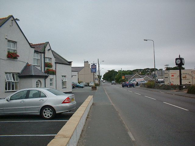
Valley is a village, community, and former electoral ward near Holyhead on the west coast of Anglesey, North Wales. The population during the 2001 census was 2,413,[citation needed] decreasing to 2,361 at the 2011 census.[1]
This article needs additional citations for verification. (January 2017) |
| Valley | |
|---|---|
 | |
| Population | 2,361 |
| Principal area | |
| Country | Wales |
| Sovereign state | United Kingdom |
| Police | North Wales |
| Fire | North Wales |
| Ambulance | Welsh |
Toponym
In Welsh it is referred to as either Y Dyffryn (meaning The Valley) or [Y] Fali (pronounced as Valley).
An alternative history for the name is that it developed when the Stanley Embankment (known by locals as 'The Cob') was built in the 1820s. A depression, or valley, was dug to yield rubble for building the Cob, and the nearby cluster of dwellings became known as Valley by the labourers. Prior to the development of this name, the area was known such names as Glan Môr Tŷ Coch and Glan Môr Castell Llyfaint, according to accounts from the time.[2]
Political boundaries
Prior to the 2012 Anglesey electoral boundary changes Valley was an electoral ward to the Isle of Anglesey County Council. It is now part of the larger Llifon ward, together with Llanfaelog and Llanfair-yn-Neubwll.[3]
The community includes the village of Llanynghenedl and part of Four Mile Bridge.
Transport

RAF Valley is a nearby Royal Air Force station concerned with the training of fast jet pilots. The runways are also used by Anglesey Airport who make commercial flights to Cardiff (and previously the Isle of Man). Valley railway station is on the North Wales Coast Line and its signal box is Grade II listed. Thomas Telford's A5 road bisects the village.
Sport
Valley has a football club, the senior team, CPD Y Fali, play in the North Wales Coast West Football League Division One. They play their home matches on Station Road which is situated between the North Wales Coast railway line and the A55 North Wales Expressway.
Climate
| Climate data for Valley (Anglesey) (1981–2010) | |||||||||||||
|---|---|---|---|---|---|---|---|---|---|---|---|---|---|
| Month | Jan | Feb | Mar | Apr | May | Jun | Jul | Aug | Sep | Oct | Nov | Dec | Year |
| Average high °C (°F) | 8.2 (46.8) |
8.1 (46.6) |
9.6 (49.3) |
11.8 (53.2) |
14.9 (58.8) |
17.1 (62.8) |
18.8 (65.8) |
18.8 (65.8) |
17.1 (62.8) |
14.1 (57.4) |
11.1 (52.0) |
8.7 (47.7) |
13.2 (55.8) |
| Average low °C (°F) | 3.6 (38.5) |
3 (37) |
4.5 (40.1) |
5.7 (42.3) |
8.2 (46.8) |
10.7 (51.3) |
12.8 (55.0) |
12.9 (55.2) |
11.4 (52.5) |
9 (48) |
6.3 (43.3) |
3.9 (39.0) |
7.7 (45.9) |
| Average precipitation mm (inches) | 75.5 (2.97) |
54.8 (2.16) |
62.8 (2.47) |
55.2 (2.17) |
48.4 (1.91) |
53.5 (2.11) |
54 (2.1) |
69.9 (2.75) |
71.5 (2.81) |
101.4 (3.99) |
103.5 (4.07) |
90.6 (3.57) |
841.1 (33.11) |
| Average precipitation days (≥ 1.0 mm) | 14.4 | 11.1 | 12 | 10.9 | 9.3 | 9.6 | 9.3 | 10.8 | 10.7 | 14.6 | 15.7 | 14.8 | 143 |
| Mean monthly sunshine hours | 62.3 | 86.5 | 123.1 | 177.8 | 231.8 | 207.8 | 201.1 | 189.5 | 146.7 | 109.7 | 63.6 | 51.6 | 1,651.4 |
| Source: metoffice [4] | |||||||||||||
References
- "Community/Ward population 2011". Retrieved 20 May 2015.
- Jones, Gwilym; Roberts, Tomos (1996). Enwau Lleoedd Môn : The Place-Names of Anglesey. Bangor, Wales: University of Wales Press. p. 124. ISBN 0-904567-71-0.
- "Isle of Anglesey (Electoral Arrangements) Order 2012" (PDF). legislation.gov.uk. The National Archives. Retrieved 6 December 2017.
- "Valley climate (Reference period 1981−2010)". 53.252, -4.537: Met Office UK. 2010. Retrieved 9 November 2015.
{{cite web}}: CS1 maint: location (link)
External links
![]() Media related to Valley, Anglesey at Wikimedia Commons
Media related to Valley, Anglesey at Wikimedia Commons
- Valley Community Council
- photos of Valley, Anglesey and surrounding area on geograph.org.uk
- Map sources for Valley, Anglesey
| Towns |  | |
|---|---|---|
| Villages |
| |
| Hydrological features |
| |
| Ancient sites |
| |
| Islands | ||
| Topics |
| |
Authority control | |
|---|---|
| General |
|
| National libraries | |
This Anglesey location article is a stub. You can help Wikipedia by expanding it. |
Другой контент может иметь иную лицензию. Перед использованием материалов сайта WikiSort.org внимательно изучите правила лицензирования конкретных элементов наполнения сайта.
WikiSort.org - проект по пересортировке и дополнению контента Википедии