world.wikisort.org - United_Kingdom
Turn Village is a hamlet in the Rossendale borough of Lancashire, England. It is located in the South Pennines, on the A680 road between Edenfield and Norden. Population details are included in Ramsbottom.
| Turn Village | |
|---|---|
 Rochdale Road | |
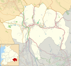 Turn Village Location within Rossendale  Turn Village Location within Lancashire | |
| OS grid reference | SD809182 |
| District | |
| Shire county |
|
| Region |
|
| Country | England |
| Sovereign state | United Kingdom |
| Post town | BURY |
| Postcode district | BL0 |
| Dialling code | 01706 |
| Police | Lancashire |
| Fire | Lancashire |
| Ambulance | North West |
| UK Parliament |
|
The surrounding moorland is the site for Scout Moor Wind Farm, the second largest onshore wind farm in England, which remains popular with Paragliders.
The village is home to Bleakholt Animal Sanctuary[1] and the Fisherman's Retreat restaurant.[2]
References
External links
Wikimedia Commons has media related to Turn Village.
This Lancashire location article is a stub. You can help Wikipedia by expanding it. |
Текст в блоке "Читать" взят с сайта "Википедия" и доступен по лицензии Creative Commons Attribution-ShareAlike; в отдельных случаях могут действовать дополнительные условия.
Другой контент может иметь иную лицензию. Перед использованием материалов сайта WikiSort.org внимательно изучите правила лицензирования конкретных элементов наполнения сайта.
Другой контент может иметь иную лицензию. Перед использованием материалов сайта WikiSort.org внимательно изучите правила лицензирования конкретных элементов наполнения сайта.
2019-2025
WikiSort.org - проект по пересортировке и дополнению контента Википедии
WikiSort.org - проект по пересортировке и дополнению контента Википедии