world.wikisort.org - United_Kingdom
Loveclough /ˈlʌf.klʌf/ is a small hamlet at the edge of the Rossendale Valley, in Lancashire, England, near Crawshawbooth and Rawtenstall, 20 miles north of Manchester, 21 miles east of Preston, and 44 miles south east of Lancaster.
| Loveclough | |
|---|---|
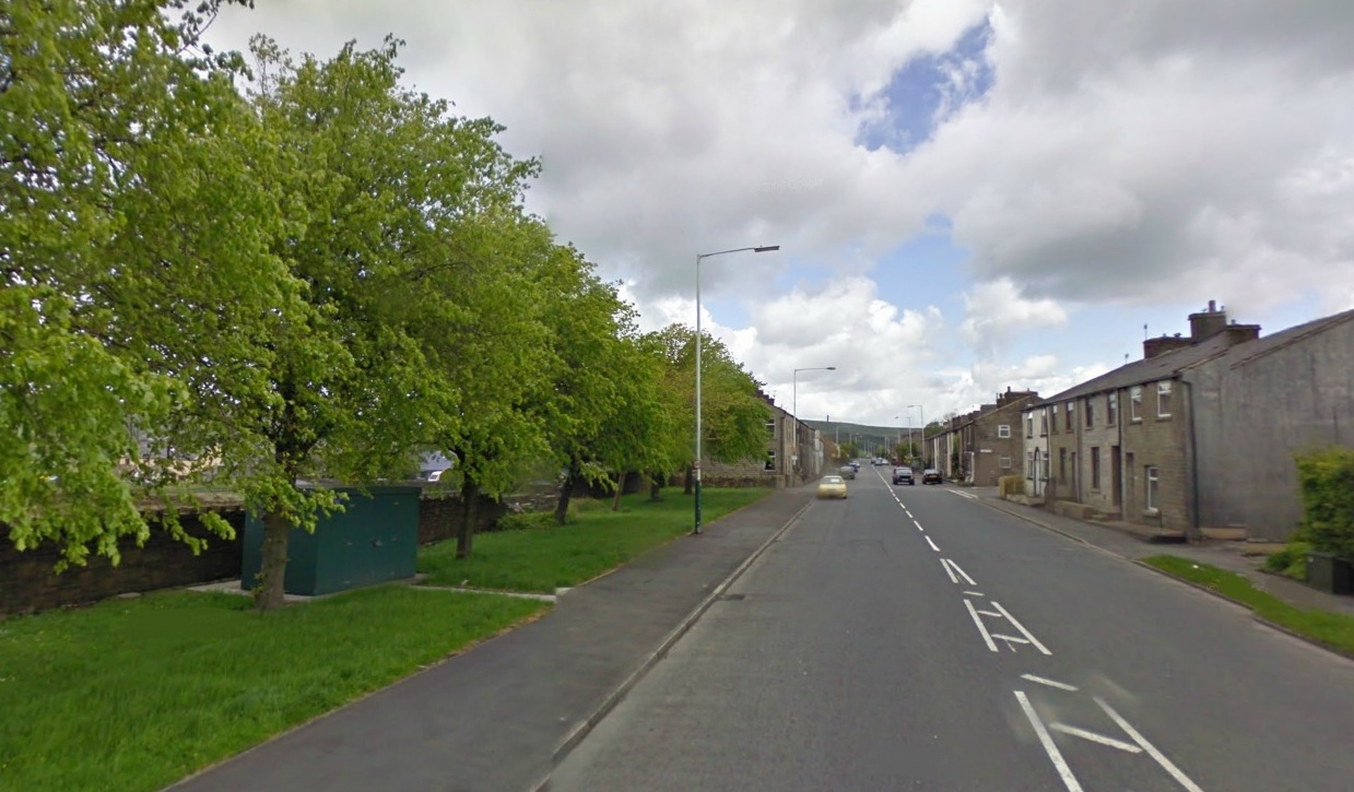 Entering Loveclough from Crawshawbooth | |
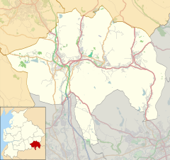 Loveclough Location within Rossendale  Loveclough Location within Lancashire | |
| OS grid reference | SD810272 |
| • London | 225 miles |
| District | |
| Shire county |
|
| Region |
|
| Country | England |
| Sovereign state | United Kingdom |
| Post town | ROSSENDALE |
| Postcode district | BB4 |
| Dialling code | 01706 |
| Police | Lancashire |
| Fire | Lancashire |
| Ambulance | North West |
| UK Parliament |
|
Governance
Loveclough is part of the Rossendale and Darwen parliamentary constituency and the Borough of Rossendale.[1][2]
Geography and tourism
On the edge of the Pennines, various wildlife can be seen in the area, as well as lakes and rivers, such as the Limy Water, a tributary of the River Irwell which it joins in Rawtenstall.
Transport
Loveclough is served by the X43 Witch Way bus service to Rawtenstall, Burnley and Manchester.[3]
Gallery
 |
 |
References
- "Lancashire County Council: Declared result for election held on 04 June 2009". Retrieved 21 April 2011.
- "Red rose county turns Tory blue". BBC article after British election. 5 June 2009.
- "Luxury bus service up for award". www.lancashiretelegraph.co.uk.
Текст в блоке "Читать" взят с сайта "Википедия" и доступен по лицензии Creative Commons Attribution-ShareAlike; в отдельных случаях могут действовать дополнительные условия.
Другой контент может иметь иную лицензию. Перед использованием материалов сайта WikiSort.org внимательно изучите правила лицензирования конкретных элементов наполнения сайта.
Другой контент может иметь иную лицензию. Перед использованием материалов сайта WikiSort.org внимательно изучите правила лицензирования конкретных элементов наполнения сайта.
2019-2025
WikiSort.org - проект по пересортировке и дополнению контента Википедии
WikiSort.org - проект по пересортировке и дополнению контента Википедии