world.wikisort.org - United_Kingdom
Toppesfield is a village and civil parish in the Braintree district of Essex, England. The village is approximately 19 miles (31 km) north from the county town of Chelmsford, and 1.5 miles (2.4 km) west from the village of Great Yeldham. The parish contains the hamlets of Gainsford End and Grass Green.
| Toppesfield | |
|---|---|
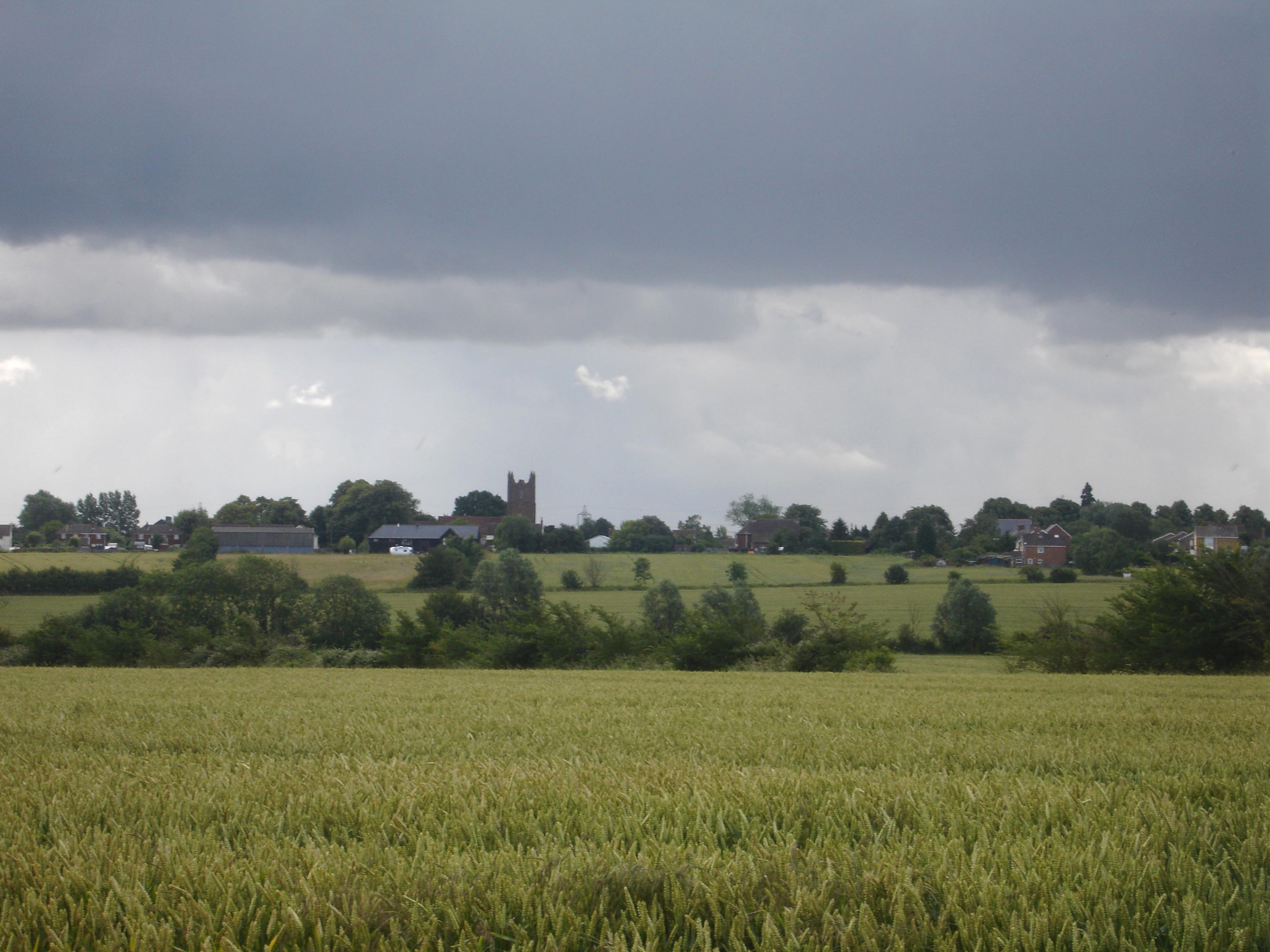 Toppesfield from Stambourne Road | |
 Toppesfield Location within Essex | |
| Population | 507 (2011)[1] |
| OS grid reference | TL739372 |
| District |
|
| Shire county |
|
| Region | |
| Country | England |
| Sovereign state | United Kingdom |
| Post town | Halstead |
| Postcode district | CO9 |
| Dialling code | 01787 |
| Police | Essex |
| Fire | Essex |
| Ambulance | East of England |
| UK Parliament |
|
History
The derivation of the name 'Toppesfield' is 'open land on the hill top',[2] a possible agglomeration of the phrase 'Top of the Field'.
Geography
Toppesfield, 8 miles (13 km) from the Suffolk border, is part of North Essex which has higher terrain than most of Essex. The village sits on a small and shallow hill, about 75 metres above sea level.[3]
Community
Toppesfield is a rural community historically associated with arable farming. The village has approximately 300 inhabitants. The hamlet of Gainsford End, of approximately fifty inhabitants, is about 1.5 miles (2.4 km) southwest from the village, and contains the listed Gainsford End Mill.[4]
Toppesfield's only public house is the Green Man. The pub is owned by Toppesfield Community Pub Limited (TCP), an Industrial & Provident Society which was established in 2012. TCP gained control of the Green Man in December 2012 from Admiral Taverns, a national pub chain which had financial problems. TCP is owned by more than 150 shareholders who raised share capital exceeding £150,000 to help finance the purchase.[5]
St Margaret’s Church, Topplesfield, a Church of England parish church, is part of the Upper Colne Valley Parishes joint benefice.[6] Affiliated to the church is St Margaret's Church of England primary school.[7]
The church has a ring of 8 bells. https://dove.cccbr.org.uk/detail.php?tower=10568[8]
References
- "Civil Parish population 2011". Neighbourhood Statistics. Office for National Statistics. Archived from the original on 20 October 2016. Retrieved 7 September 2016.
- The Cambridge dictionary of English place-names : based on the collections of the English Place-Name Society. Watts, V. E. (Victor Ernest), Insley, John., Gelling, Margaret. Cambridge, UK: Cambridge University Press. 2004. ISBN 0521362091. OCLC 48265598.
{{cite book}}: CS1 maint: others (link) - "Toppesfield". Elevation Map. Retrieved 24 April 2022.
- Historic England. "Gainsford End Windmill (1317300)". National Heritage List for England. Retrieved 24 April 2022.
- The Green Man pub bought by Toppesfield villagers, BBC, retrieved 14 December 2012
- St Margaret’s Church, Topplesfield, Upper Colne Valley Parishes
- "St Margaret's Church of England Voluntary Controlled Primary School Toppesfield". Gov.uk. Retrieved 24 April 2022.
- "Tower details". dove.cccbr.org.uk. Retrieved 29 September 2022.
External links
 Media related to Toppesfield at Wikimedia Commons
- St Margaret's C of E Primary School
Authority control | |
|---|---|
| General |
|
| National libraries | |
Другой контент может иметь иную лицензию. Перед использованием материалов сайта WikiSort.org внимательно изучите правила лицензирования конкретных элементов наполнения сайта.
WikiSort.org - проект по пересортировке и дополнению контента Википедии