world.wikisort.org - United_Kingdom
Taunton Deane was a local government district with borough status in Somerset, England. Its council was based in Taunton.
Taunton Deane | |
|---|---|
Non-metropolitan district | |
|
| |
 Shown within Somerset | |
| Sovereign state | United Kingdom |
| Constituent country | England |
| Region | South West England |
| Ceremonial county | Somerset |
| Admin HQ | Taunton |
| Created | 1 April 1974 |
| Abolished | 31 March 2019 |
| Government | |
| • Type | Non-metropolitan district |
| Area | |
| • Total | 178.87 sq mi (463.26 km2) |
| Population (mid-2019 est.) | |
| • Total | (Ranked ) |
| Time zone | UTC0 (GMT) |
| • Summer (DST) | UTC+1 (BST) |
| Post Code | TA1-4 |
| Area code | 01823 |
| Website | http://www.tauntondeane.gov.uk/ |
The district was formed on 1 April 1974, under the Local Government Act 1972, by a merger of the Municipal Borough of Taunton, Wellington Urban District, Taunton Rural District, and Wellington Rural District.
Taunton Deane was granted borough status in 1975, perpetuating the mayoralty of Taunton.[1]
The district was given the name of an alternative form of the Taunton Deane Hundred.
In September 2016, West Somerset and Taunton Deane councils agreed in principle to merge the districts into one (with one council) subject to consultation.[2] The new district would not be a unitary authority, with Somerset County Council still performing its functions.[3] In March 2018 both councils voted in favour of the merger and it came into effect on 1 April 2019, with the first elections to the new council in May 2019. The new district is known as Somerset West and Taunton.[4][5][6]
Governance
The district was governed by Taunton Deane Borough Council, and had periods of both Conservative and Liberal Democrat control, as well as times under no overall control. At the final election in 2015, the Conservatives gained an increased majority on the council.[7]
| Party | Seats Held | Net Gain/Loss | Votes Received |
|---|---|---|---|
| Conservative | 36 | +8 | 49,934 |
| Liberal Democrat | 14 | -9 | 39,608 |
| Independent | 3 | +1 | 5,310 |
| Labour | 2 | -1 | 9,268 |
| UKIP | 1 | +1 | 1,349 |
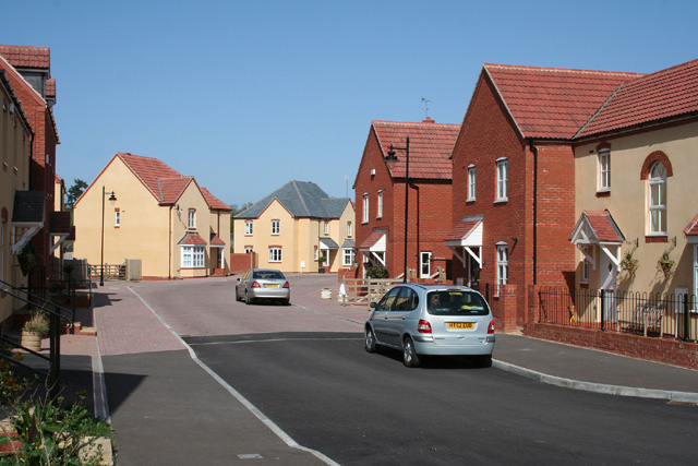
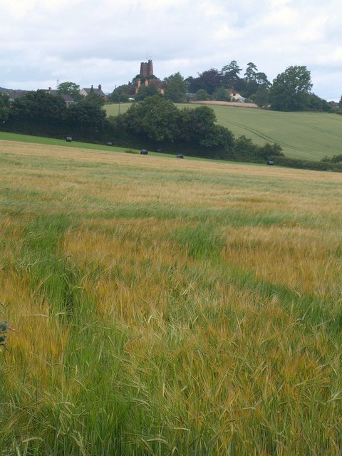
Settlements
Settlements in bold have a town charter or a population over 2,500.
- Ash Priors - Ashbrittle
- Bathealton - Bickenhall - Bishop's Hull - Bishops Lydeard - Bradford-on-Tone - Burrowbridge
- Cheddon Fitzpaine - Chipstable - Churchstanton - Combe Florey - Comeytrowe - Corfe - Cotford St Luke - Cothelstone - Creech St Michael - Curland
- Durston
- Fitzhead
- Halse - Hatch Beauchamp
- Kingston St Mary
- Langford Budville - Lydeard St Lawrence
- Milverton
- North Curry - Norton Fitzwarren - Nynehead
- Oake - Orchard Portman - Otterford
- Pitminster
- Ruishton
- Sampford Arundel - Staple Fitzpaine - Staplegrove - Stawley - Stoke St Gregory - Stoke St Mary
- Taunton - Thornfalcon - Tolland - Trull
- Wellington - West Bagborough - West Buckland - West Monkton - Wiveliscombe
Parishes
Part of the former Taunton Municipal Borough is unparished.
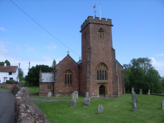
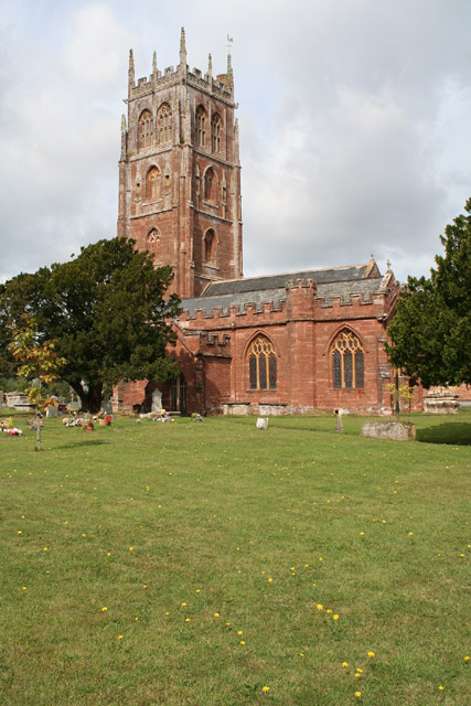
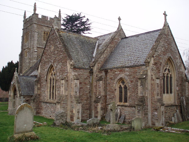
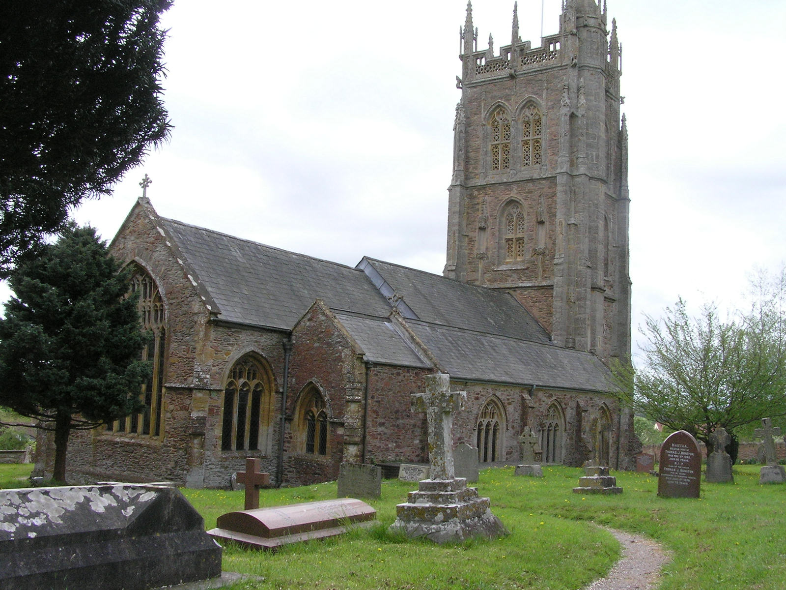
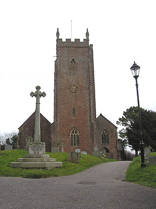
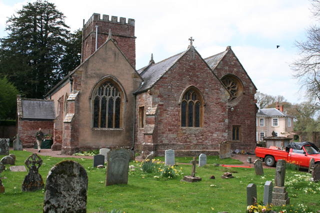
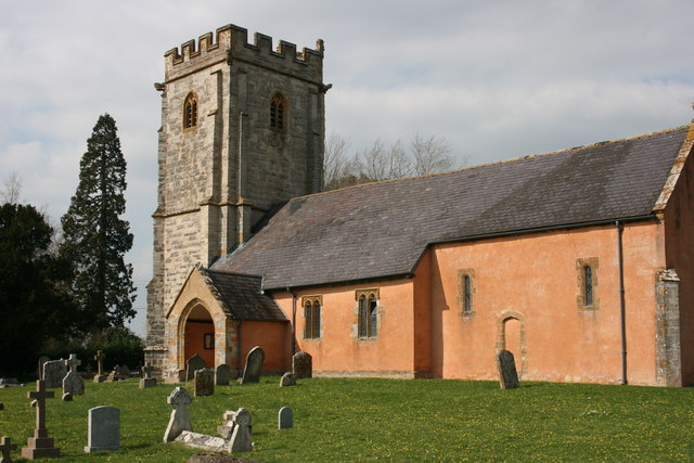
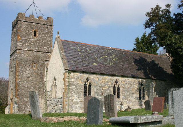
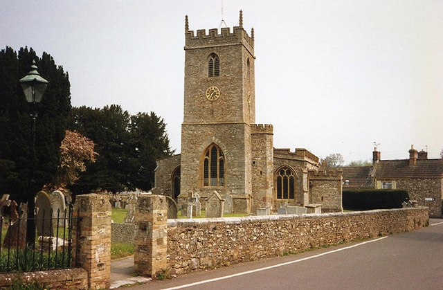
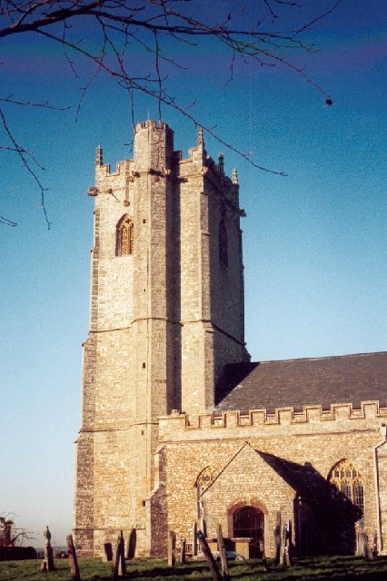
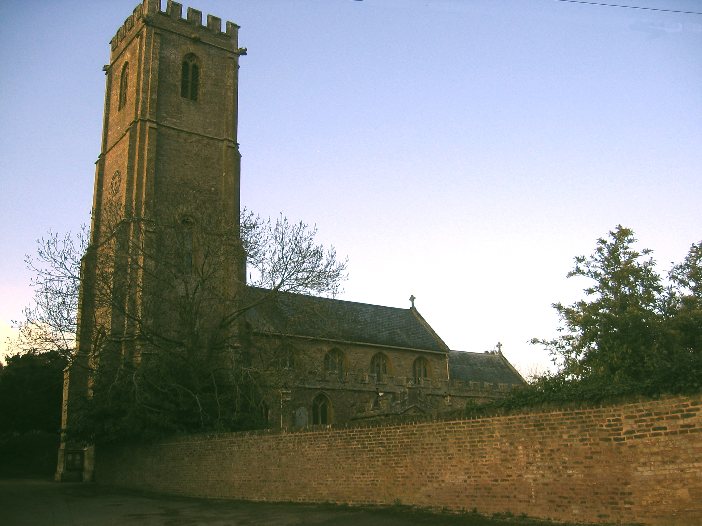
| Image | Name | Status | Population | Former local authority | Coordinates | Refs |
|---|---|---|---|---|---|---|
 | Ashbrittle | Civil parish | 225 | Wellington Rural District | 50.98°N 3.35°W | [8][9] |
 | Ash Priors | Civil parish | 155 | Taunton Rural District | 51.06°N 3.21°W | [8][10] |
 | Bathealton | Civil parish | 194 | Wellington Rural District | 51.01°N 3.31°W | [8][9] |
 | Bickenhall | Civil parish | 122 | Taunton Rural District | 50.96°N 3.03°W | [10] |
 | Bishop's Hull | Civil parish | 2,975 | Taunton Rural District | 51.02°N 3.14°W | [8][10] |
 | Bishops Lydeard | Civil parish | 2,839 (includes Cotford St Luke) | Taunton Rural District | 51.06°N 3.19°W | [8][10] |
 | Bradford-on-Tone | Civil parish | 622 | Wellington Rural District | 51.00°N 3.18°W | [8][9] |
 | Burrowbridge | Civil parish | 508 | Taunton Rural District | 51.07°N 2.92°W | [8][10] |
 | Cheddon Fitzpaine | Civil parish | 1,929 | Taunton Rural District | 51.04°N 3.08°W | [8][10] |
 | Chipstable | Civil parish | 309 | Wellington Rural District | 51.04°N 3.37°W | [8][9] |
 | Churchstanton | Civil parish | 752 | Taunton Rural District | 50.92°N 3.15°W | [8][10] |
 | Combe Florey | Civil parish | 261 | Taunton Rural District | 51.08°N 3.21°W | [8][10] |
 | Comeytrowe | Civil parish | 5,463 | Taunton Municipal Borough Taunton Rural District | 51.01°N 3.13°W | [8][10] |
 | Corfe | Civil parish | 253 | Taunton Rural District | 50.97°N 3.09°W | [8][10] |
 | Cotford St Luke | Civil parish | created post-census | Taunton Rural District | 51.0392°N 3.1886°W | [10] |
 | Cothelstone | Civil parish | 111 | Taunton Rural District | 51.08°N 3.16°W | [8][10] |
 | Creech St Michael | Civil parish | 2,416 | Taunton Rural District | 51.02°N 3.04°W | [8][10] |
 | Curland | Civil parish | 225 | Taunton Rural District | 50.95°N 3.03°W | [8][10] |
 | Durston | Civil parish | 136 | Taunton Rural District | 51.05°N 3.01°W | [8][10] |
 | Fitzhead | Civil parish | 264 | Wellington Rural District | 51.05°N 3.26°W | [8][9] |
 | Halse | Civil parish | 290 | Taunton Rural District | 51.04°N 3.23°W | [8][10] |
 | Hatch Beauchamp | Civil parish | 620 | Taunton Rural District | 50.98°N 2.99°W | [10] |
 | Kingston St Mary | Civil parish | 921 | Taunton Rural District | 51.06°N 3.11°W | [8][10] |
 | Langford Budville | Civil parish | 535 | Wellington Rural District | 51.00°N 3.27°W | [8][9] |
 | Lydeard St Lawrence | Civil parish | 506 | Taunton Rural District | 51.09°N 3.25°W | [8][10] |
 | | | Milverton | Civil parish | 1,438 | Wellington Rural District | 51.02°N 3.25°W | [8][9] |
 | North Curry | Civil parish | 1,640 | Taunton Rural District | 51.02°N 2.96°W | [8][10] |
 | Norton Fitzwarren | Civil parish | 3,046 | Taunton Rural District | 51.02°N 3.15°W | [8][10] |
 | Nynehead | Civil parish | 415 | Wellington Rural District | 50.99°N 3.23°W | [8][9] |
 | Oake | Civil parish | 765 | Wellington Rural District | 51.02°N 3.21°W | [8][9] |
 | Orchard Portman | Civil parish | 150 | Taunton Rural District | 50.99°N 3.08°W | [8][10] |
 | Otterford | Civil parish | 356 | Taunton Rural District | 50.92°N 3.10°W | [8][10] |
| Pitminster | Civil parish | 956 | Taunton Rural District | 50.97°N 3.11°W | [8][10] | |
 | Ruishton | Civil parish | 1,473 | Taunton Rural District | 51.02°N 3.05°W | [8][10] |
 | Sampford Arundel | Civil parish | 268 | Wellington Rural District | 50.96°N 3.28°W | [8][9] |
 | Staple Fitzpaine | Civil parish | 189 | Taunton Rural District | 50.96°N 3.05°W | [8][10] |
 | Staplegrove | Civil parish | 1,649 | Taunton Rural District | 51.03°N 3.12°W | [8][10] |
 | Stawley | Civil parish | 279 | Wellington Rural District | 51.00°N 3.33°W | [8][9] |
 | Stoke St Gregory | Civil parish | 942 | Taunton Rural District | 51.04°N 2.94°W | [8][10] |
 | Stoke St Mary | Civil parish | 421 | Taunton Rural District | 50.99°N 3.05°W | [8][10] |
 | Thornfalcon | Civil parish | 119 | Taunton Rural District | 51.01°N 3.02°W | [8][10] |
 | Tolland | Civil parish | 81 | Taunton Rural District | 51.08°N 3.28°W | [10] |
 | Trull | Civil parish | 2,288 | Taunton Rural District | 51.00°N 3.12°W | [8][10] |
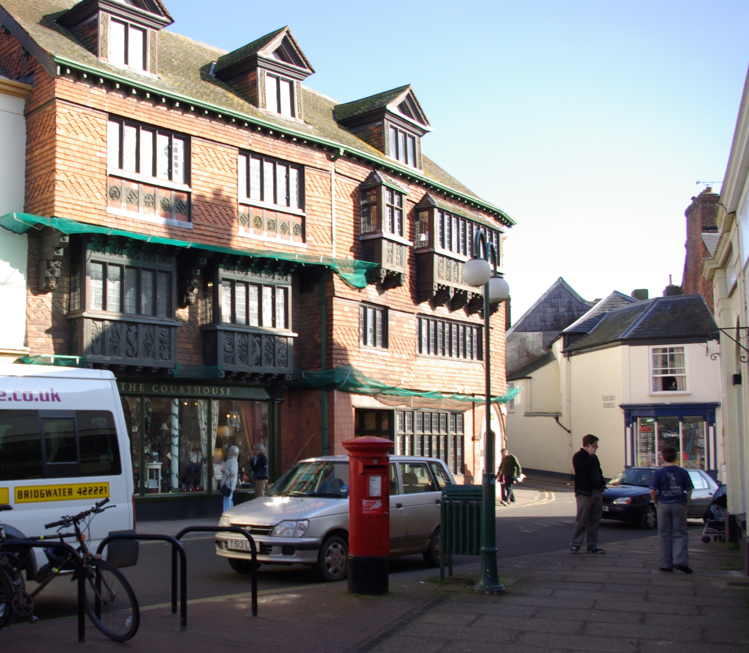
 | Wellington | Town | 13,822 | Wellington Urban District | 50.98°N 3.22°W | [8][11] |
| – | Wellington Without | Civil parish | 727 | Wellington Rural District | 50.96°N 3.23°W | [8][9] |
 | West Bagborough | Civil parish | 358 | Taunton Rural District | 51.09°N 3.18°W | [8][10] |
 | West Buckland | Civil parish | 1,189 | Wellington Rural District | 50.98°N 3.18°W | [8][9] |
 | West Hatch | Civil parish | 306 | Taunton Rural District | 50.98°N 3.02°W | [8][10] |
 | West Monkton | Civil parish | 2,787 | Taunton Rural District | 51.05°N 3.05°W | [8][10] |
 | Wiveliscombe | Town | 2,893 | Wellington Rural District | 51.04°N 3.31°W | [8][9] |
Demography
| Population Profile[12] | |||||
|---|---|---|---|---|---|
| UK Census 2001 | Taunton Deane | South West England | England | ||
| Total population | 102,299 | 4,928,434 | 49,138,831 | ||
| Foreign born | 4.1% | 9.4% | 9.2% | ||
| White | 98.4% | 97.7% | 91% | ||
| Asian | 0.4% | 0.7% | 4.6% | ||
| Black | 0.2% | 0.4% | 2.3% | ||
| Christian | 75.9% | 74.0% | 72% | ||
| Muslim | 0.3% | 0.5% | 3.1% | ||
| Hindu | 0.1% | 0.2% | 1.1% | ||
| No religion | 15.7% | 16.8% | 15% | ||
| Over 75 years old | 9.5% | 9.3% | 7.5% | ||
| Unemployed | 2.4% | 2.6% | 3.3% | ||
The town of Taunton (which for population estimates includes the unparished area - or former municipal borough - plus the neighbouring parishes of Bishop's Hull, Comeytrowe, Norton Fitzwarren, Staplegrove, Trull and West Monkton) had an estimated population of 61,400 in 2001.[13]
Taunton forms part of the larger borough of Taunton Deane which also includes the town of Wellington and surrounding villages. Taunton Deane had an estimated population of 102,600 in 2001.[14]
The figures below are for the Taunton Deane area.
| Population since 1801 - Source: A Vision of Britain through Time | ||||||||||||||
| Year | 1801 | 1851 | 1901 | 1911 | 1921 | 1931 | 1941 | 1951 | 1961 | 1971 | 1981 | 1991 | 2001 | 2011 |
|---|---|---|---|---|---|---|---|---|---|---|---|---|---|---|
| Population Taunton Deane[15] | 33,139 | 51,844 | 53,759 | 55,666 | 56,161 | 56,661 | 62,745 | 69,492 | 75,320 | 81,639 | 84,795 | 95,791 | 102,304 | 110,546 |
Education
County schools (those which are not independent) in the five non-metropolitan districts of the county are operated by Somerset County Council, or are independent of the council and run as academies.
For a full list of schools see: List of schools in Somerset
See also
- List of Grade I listed buildings in Taunton Deane
- List of Scheduled Monuments in Taunton Deane
References
- "About the Mayor". Taunton Deane Borough Council. Retrieved 23 January 2010.
- West Somerset Online
- Your New Council
- "Somerset councils merger approved despite criticism". BBC News. 20 March 2018. Retrieved 20 March 2018.
- Simmons, Alice (19 March 2018). "Taunton Deane and West Somerset vote in favour of council merger". Somerset County Gazette. Retrieved 20 March 2018.
- Ministry of Housing, Communities and Local Government (24 May 2018). "The Somerset West and Taunton (Local Government Changes) Order 2018". legislation.gov.uk. Retrieved 28 May 2018.
- UK, Taunton Deane Borough council. "Election results in May 2015". www1.tauntondeane.gov.uk. Retrieved 22 March 2016.
- "Statistics for Wards, LSOAs and Parishes — SUMMARY Profiles" (Excel). Somerset Intelligence. Retrieved 4 January 2014.
- "Wellington RD". A vision of Britain Through Time. University of Portsmouth. Retrieved 5 January 2014.
- "Taunton RD". A vision of Britain Through Time. University of Portsmouth. Retrieved 5 January 2014.
- "Wellington UD". A vision of Britain Through Time. University of Portsmouth. Retrieved 5 January 2014.
- United Kingdom Census 2001 (2001). "Key Figures for 2001 Census: Census Area Statistics: Area: Bath and North East Somerset". statistics.gov.uk. Retrieved 12 December 2007.
- "Mid Year Population Estimates for Towns" (PDF). Somerset County Council. Retrieved 17 February 2009.
- "Population Summary" (PDF). Somerset County Council. Retrieved 17 February 2009.
- "Taunton Deane: Total Population". A Vision of Britain Through Time. Great Britain Historical GIS Project. Retrieved 19 January 2008.
External links
На других языках
[de] Taunton Deane
Taunton Deane war ein Distrikt (englisch district) mit dem Titel eines Borough in der Grafschaft Somerset in England. Verwaltungssitz war die Stadt Taunton, in der mehr als die Hälfte der Bevölkerung lebt. Der nächstkleinere bedeutende Ort war Wellington.- [en] Taunton Deane
[ru] Тонтон-Дин
Тонтон-Дин (англ. Taunton Deane) — неметрополитенский район (англ. non-metropolitan district) со статусом боро в графстве Сомерсет (Англия). Административный центр — город Тонтон.Другой контент может иметь иную лицензию. Перед использованием материалов сайта WikiSort.org внимательно изучите правила лицензирования конкретных элементов наполнения сайта.
WikiSort.org - проект по пересортировке и дополнению контента Википедии