world.wikisort.org - United_Kingdom
Tafarn-y-Gelyn is a small village in the east of Denbighshire, North East Wales. Situated near Llanferres, at the foot of Moel Famau, just off the A494 road halfway between Ruthin and Mold.
| Tafarn-y-Gelyn | |
|---|---|
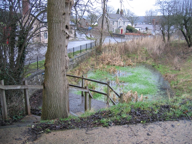 Tafarn-y-Gelyn Pond | |
 Tafarn-y-Gelyn Location within Denbighshire | |
| OS grid reference | SJ188618 |
| Community | |
| Principal area | |
| Ceremonial county |
|
| Country | Wales |
| Sovereign state | United Kingdom |
| Post town | Mold |
| Postcode district | CH7 |
| Dialling code | 01352 |
| Police | North Wales |
| Fire | North Wales |
| Ambulance | Welsh |
| UK Parliament |
|
| Senedd Cymru – Welsh Parliament |
|
Tafarn-y-Gelyn (225m) is the start of the old coach road Bwlch Pen Barras across the Clwydian Range, between Moel Famau and Moel Fenlli. This was the original road from the Vale of Clwyd to Mold before the advent of the A494.
External links
Wikimedia Commons has media related to Tafarn-y-Gelyn.

This Denbighshire location article is a stub. You can help Wikipedia by expanding it. |
Текст в блоке "Читать" взят с сайта "Википедия" и доступен по лицензии Creative Commons Attribution-ShareAlike; в отдельных случаях могут действовать дополнительные условия.
Другой контент может иметь иную лицензию. Перед использованием материалов сайта WikiSort.org внимательно изучите правила лицензирования конкретных элементов наполнения сайта.
Другой контент может иметь иную лицензию. Перед использованием материалов сайта WikiSort.org внимательно изучите правила лицензирования конкретных элементов наполнения сайта.
2019-2025
WikiSort.org - проект по пересортировке и дополнению контента Википедии
WikiSort.org - проект по пересортировке и дополнению контента Википедии