world.wikisort.org - United_Kingdom
Rhuallt is a village in Denbighshire, Wales. The village is situated approximately 5 mi (8.0 km) south of Prestatyn and 2 mi (3.2 km) east of St Asaph on the B5429 road, adjacent to the A55, and has a caravan site.[1] There is one public house, The White House.[2] Another public house, The Smithy Arms, closed permanently in or around 2014. Some elements of village life in Rhuallt were described in the BBC Domesday Project of 1986.[3] Rhuallt is mostly in the community of Tremeirchion, with some outlying parts in Cwm, Denbighshire.
| Rhuallt | |
|---|---|
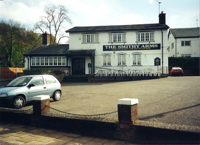 The Smithy Arms public house, Rhuallt, in 2000 (closed 2014) | |
 Rhuallt Location within Denbighshire | |
| OS grid reference | SJ073750 |
| Community | |
| Principal area | |
| Country | Wales |
| Sovereign state | United Kingdom |
| Post town | ST. ASAPH |
| Postcode district | LL17 |
| Dialling code | 01745 |
| Police | North Wales |
| Fire | North Wales |
| Ambulance | Welsh |
| UK Parliament |
|
| Senedd Cymru – Welsh Parliament |
|
References
Wikimedia Commons has media related to Rhuallt.
- "4 Star Touring Park". Rhuallt Country Park. Retrieved 23 January 2016.
- Richards-Williams, Julie (12 December 2015). "North Wales restaurant review: White House, Rhuallt". Daily Post. Retrieved 23 January 2016.
- "D-block GB-304000-375000". BBC Domesday Reloaded. Retrieved 23 January 2016.

Текст в блоке "Читать" взят с сайта "Википедия" и доступен по лицензии Creative Commons Attribution-ShareAlike; в отдельных случаях могут действовать дополнительные условия.
Другой контент может иметь иную лицензию. Перед использованием материалов сайта WikiSort.org внимательно изучите правила лицензирования конкретных элементов наполнения сайта.
Другой контент может иметь иную лицензию. Перед использованием материалов сайта WikiSort.org внимательно изучите правила лицензирования конкретных элементов наполнения сайта.
2019-2025
WikiSort.org - проект по пересортировке и дополнению контента Википедии
WikiSort.org - проект по пересортировке и дополнению контента Википедии