world.wikisort.org - United_Kingdom
Rushbrooke with Rougham is a large civil parish in the West Suffolk district of Suffolk in eastern England covering the villages of Blackthorpe, Rougham and Rushbrooke as well as Rougham Airfield. Located directly south-east of Bury St Edmunds, in 2005 its population was 1,140.[1] One 'Henry of Rushbrook' was Abbot of Bury St Edmunds from 1235 to 1248. The site of a former stately home, Rushbrooke Hall, is situated to the south of Rushbrooke. Until April 2019 it was in the St Edmundsbury district. The parish was created on 1 April 1988 from Rougham and parts of Great Barton, Great Whelnetham and Rushbrooke.[3]
| Rushbrooke with Rougham | |
|---|---|
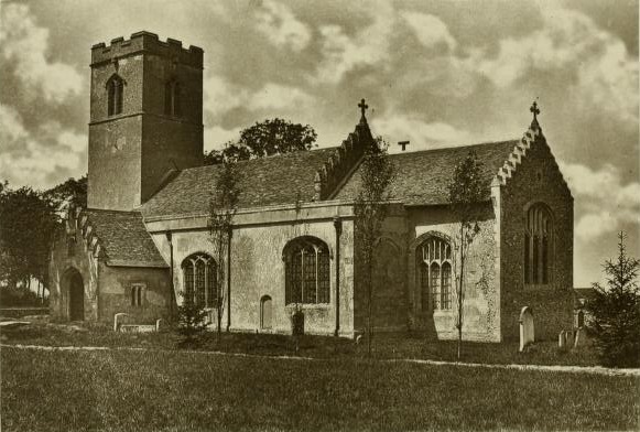 Rushbrooke Parish Church photograph in 1903 | |
 Rushbrooke with Rougham Location within Suffolk | |
| Population | 1,140 (2005)[1] 1,200 (2011)[2] |
| District |
|
| Shire county | |
| Region |
|
| Country | England |
| Sovereign state | United Kingdom |
| Post town | Bury St Edmunds |
| Postcode district | IP30 |
| Police | Suffolk |
| Fire | Suffolk |
| Ambulance | East of England |
References
- Estimates of Total Population of Areas in Suffolk Archived 2008-12-19 at the Wayback Machine Suffolk County Council
- "Civil Parish population 2011". Neighbourhood Statistics. Office for National Statistics. Retrieved 27 August 2016.
- "St. Edmundsbury (Parishes) Order 1988" (PDF). Local Government Boundary Commission for England. Retrieved 19 July 2019.
External links
 Media related to Rushbrooke with Rougham at Wikimedia Commons
This Suffolk location article is a stub. You can help Wikipedia by expanding it. |
Текст в блоке "Читать" взят с сайта "Википедия" и доступен по лицензии Creative Commons Attribution-ShareAlike; в отдельных случаях могут действовать дополнительные условия.
Другой контент может иметь иную лицензию. Перед использованием материалов сайта WikiSort.org внимательно изучите правила лицензирования конкретных элементов наполнения сайта.
Другой контент может иметь иную лицензию. Перед использованием материалов сайта WikiSort.org внимательно изучите правила лицензирования конкретных элементов наполнения сайта.
2019-2025
WikiSort.org - проект по пересортировке и дополнению контента Википедии
WikiSort.org - проект по пересортировке и дополнению контента Википедии