world.wikisort.org - United_Kingdom
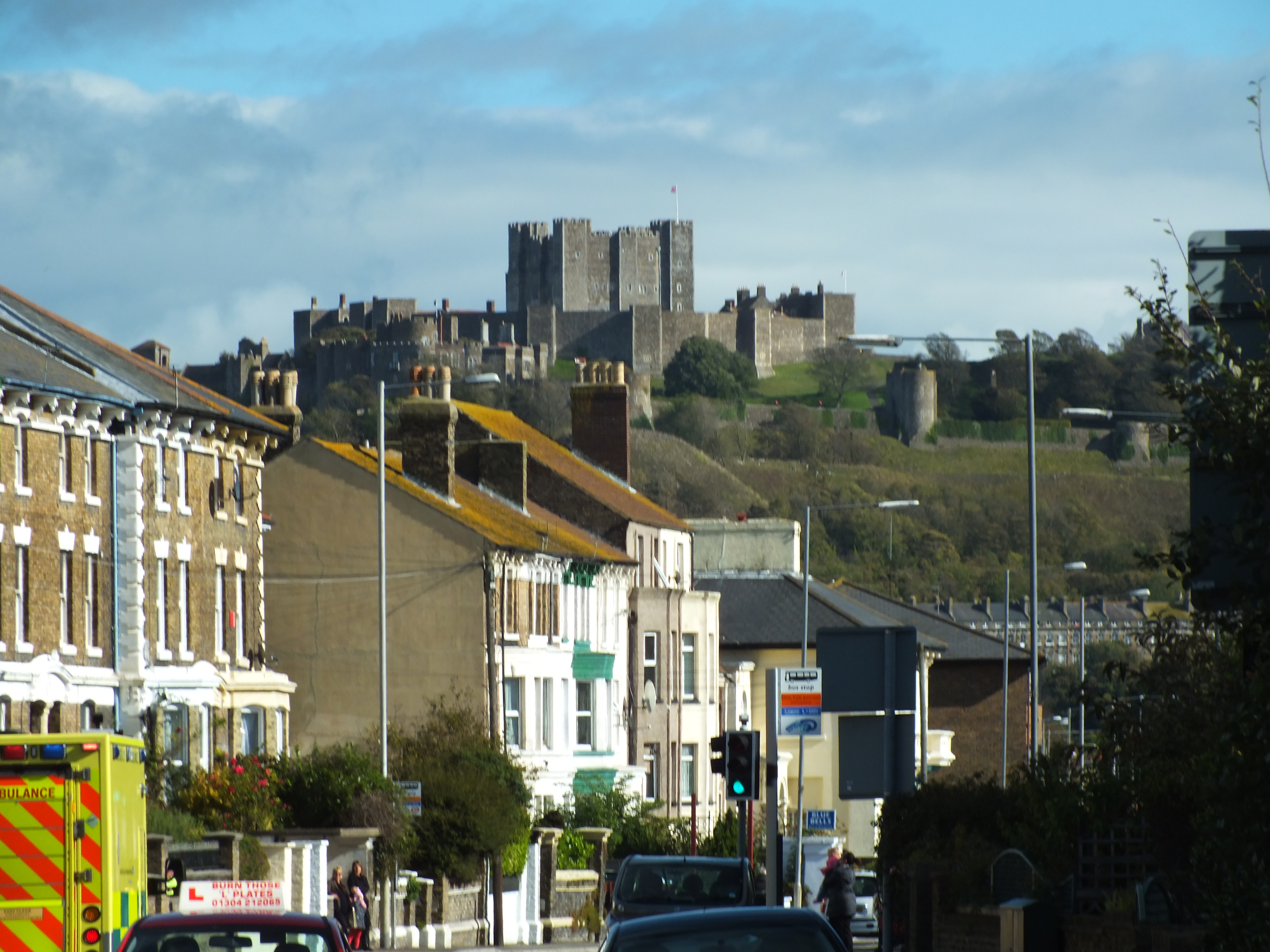
Maxton is an area in the west of Dover, in the county of Kent, England.[1] Maxton also served as the terminus of the tramway system serving the town until its closure in 1938.
| Maxton | |
|---|---|
 | |
 Maxton Location within Kent | |
| OS grid reference | TR302408 |
| District |
|
| Shire county |
|
| Region | |
| Country | England |
| Sovereign state | United Kingdom |
| Post town | Dover |
| Postcode district | CT17 |
| Dialling code | 01304 |
| Police | Kent |
| Fire | Kent |
| Ambulance | South East Coast |
| UK Parliament |
|
Maxton is now a suburb of Dover.[1]
References
- Ordnance Survey: Landranger map sheet 179 Canterbury & East Kent (Dover & Margate) (Map). Ordnance Survey. 2013. ISBN 9780319228784.
External links
![]() Media related to Maxton at Wikimedia Commons
Media related to Maxton at Wikimedia Commons
Settlements in the Dover District of Kent | ||
|---|---|---|
 | Towns | |
| Villages and hamlets |
| |
| Civil parishes |
| |
List of places in Kent | ||
This Kent location article is a stub. You can help Wikipedia by expanding it. |
Текст в блоке "Читать" взят с сайта "Википедия" и доступен по лицензии Creative Commons Attribution-ShareAlike; в отдельных случаях могут действовать дополнительные условия.
Другой контент может иметь иную лицензию. Перед использованием материалов сайта WikiSort.org внимательно изучите правила лицензирования конкретных элементов наполнения сайта.
Другой контент может иметь иную лицензию. Перед использованием материалов сайта WikiSort.org внимательно изучите правила лицензирования конкретных элементов наполнения сайта.
2019-2026
WikiSort.org - проект по пересортировке и дополнению контента Википедии
WikiSort.org - проект по пересортировке и дополнению контента Википедии