world.wikisort.org - United_Kingdom
Barnsole is a village in East Kent, England, between Canterbury and Deal.[1][2] The population of the village is included in the civil parish of Wingham.
| Barnsole | |
|---|---|
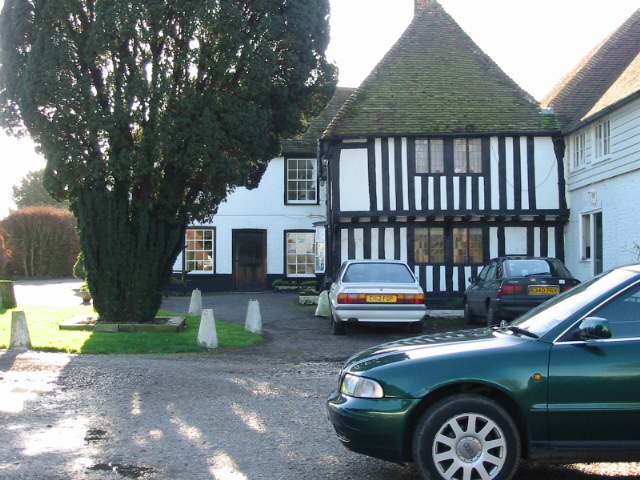 The Black Pig pub, Barnsole | |
 Barnsole Location within Kent | |
| OS grid reference | TR2656 |
| District |
|
| Shire county |
|
| Region |
|
| Country | England |
| Sovereign state | United Kingdom |
| Post town | Canterbury |
| Postcode district | CT3 |
| Police | Kent |
| Fire | Kent |
| Ambulance | South East Coast |
It once had a Baptist chapel, linked to the Eythorne Baptist Church "group".
References
- Ordnance Survey: Landranger map sheet 179 Canterbury & East Kent (Dover & Margate) (Map). Ordnance Survey. 2013. ISBN 9780319228784.
- "Ordnance Survey: 1:50,000 Scale Gazetteer" (csv (download)). www.ordnancesurvey.co.uk. Ordnance Survey. 1 January 2016. Retrieved 30 January 2016.
External links
![]() Media related to Barnsole at Wikimedia Commons
Media related to Barnsole at Wikimedia Commons
Settlements in the Dover District of Kent | ||
|---|---|---|
 | Towns |
|
| Villages and hamlets |
| |
| Civil parishes |
| |
List of places in Kent | ||
This Kent location article is a stub. You can help Wikipedia by expanding it. |
Текст в блоке "Читать" взят с сайта "Википедия" и доступен по лицензии Creative Commons Attribution-ShareAlike; в отдельных случаях могут действовать дополнительные условия.
Другой контент может иметь иную лицензию. Перед использованием материалов сайта WikiSort.org внимательно изучите правила лицензирования конкретных элементов наполнения сайта.
Другой контент может иметь иную лицензию. Перед использованием материалов сайта WikiSort.org внимательно изучите правила лицензирования конкретных элементов наполнения сайта.
2019-2026
WikiSort.org - проект по пересортировке и дополнению контента Википедии
WikiSort.org - проект по пересортировке и дополнению контента Википедии