world.wikisort.org - United_Kingdom
Gargunnock is a small village in the Stirling council area, seven miles (eleven kilometres) west of Stirling,[2] in Scotland. The census population was 912. It is situated on the south edge of the Carse of Stirling, at the foot of the Gargunnock Hills, part of the Campsie Fells.
This article needs additional citations for verification. (April 2011) |
| Gargunnock | |
|---|---|
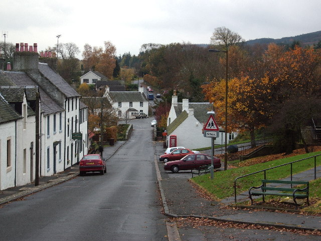 The Main Street in Gargunnock | |
 Gargunnock Location within the Stirling council area | |
| Population | 720 (mid-2020 est.)[1] |
| OS grid reference | NS705945 |
| Civil parish |
|
| Council area | |
| Country | Scotland |
| Sovereign state | United Kingdom |
| Post town | Stirling |
| Postcode district | FK8 |
| Dialling code | 01786 |
| Police | Scotland |
| Fire | Scottish |
| Ambulance | Scottish |
| UK Parliament |
|
| Scottish Parliament |
|
| Website | gargunnock.com |
Several small burns flow down from the Gargunnock Hills
The last naturally suitable crossing point on the Forth before reaching Stirling Bridge is situated just outside Gargunnock. Thus, coupled with the land condition and drainage around the feet or the Gargunnock hills, made Gargunnock the ideal location to build a farming settlement.
During the occupation of Scotland, the English posted a battalion in the Peel tower on the outskirts of the village to protect this important ferry. It is believed that William Wallace brought his army through Gargunnock (called Gargowans at the time), setting up fort on the Kier Hill, to take control of this part of the river in advance of the Battle of Stirling Bridge. Bonnie Prince Charlie is also said to have passed through the village on his travels.
More recently, during the nineteenth century Gargunnock was famous for its fine oak-spale baskets, until intensive deforestation removed the raw materials necessary for this trade and the industry moved to Loch Lomond.
Gargunnock War Memorial was erected in 1919 to a design by Sir Robert Lorimer marking the local people killed during the First World War.[3] Additional names were added at the close of the Second World War.
The majority of pupils from Gargunnock Primary continue their secondary education at the nearby Stirling High School, with others attending Balfron High School.
References
- "Mid-2020 Population Estimates for Settlements and Localities in Scotland". National Records of Scotland. 31 March 2022. Retrieved 31 March 2022.
- AA Route Planner
- Dictionary of Scottish Architects: Robert Lorimer
External links
- grid reference NS705945
- Gargunnock Village History
Authority control | |
|---|---|
| General |
|
| National libraries | |
This Stirling location article is a stub. You can help Wikipedia by expanding it. |
На других языках
[de] Gargunnock
Gargunnock ist eine Ortschaft in der schottischen Council Area Stirling. Gargunnock ist etwa neun Kilometer westlich von Stirling und 28 km nordnordöstlich des Zentrums von Glasgow gelegen. Im Jahre 2011 wurden 752 Einwohner verzeichnet.[1]- [en] Gargunnock
Другой контент может иметь иную лицензию. Перед использованием материалов сайта WikiSort.org внимательно изучите правила лицензирования конкретных элементов наполнения сайта.
WikiSort.org - проект по пересортировке и дополнению контента Википедии