world.wikisort.org - United_Kingdom
Fritton and St Olaves is a civil parish in the English county of Norfolk. The parish comprises the villages of Fritton and St. Olaves, together with the surrounding rural area.[1]
| Fritton and St Olaves | |
|---|---|
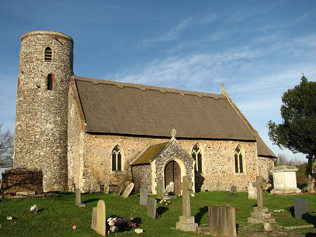 St Edmund's church, Fritton | |
 Fritton and St Olaves Location within Norfolk | |
| Area | 7.63 km2 (2.95 sq mi) |
| Population | 524 (2011) |
| • Density | 69/km2 (180/sq mi) |
| OS grid reference | TM464997 |
| District |
|
| Shire county |
|
| Region |
|
| Country | England |
| Sovereign state | United Kingdom |
| Post town | Great Yarmouth |
| Postcode district | NR31 |
| Dialling code | 01493 |
| UK Parliament |
|
The civil parish has an area of 7.63 km2 (2.95 sq mi) and in the 2001 census had a population of 543 in 236 households, the population reducing to 524 at the 2011 census. For the purposes of local government, the parish today falls within the district of Great Yarmouth. Prior to the 1974 reorganisation of counties in England the entire area of the parish was part of the Lothingland Rural District of Suffolk, with the St Olaves portion of the parish of Herringfleet and Fritton as a separate parish.[2]
References
- Ordnance Survey (2005). OS Explorer Map OL40 - The Broads. ISBN 0-319-23769-9.
- Parish Summary: Fritton and St Olaves, Norfolk Heritage Explorer, Norfolk County Council. Retrieved 2021-03-13.
External links
![]() Media related to Fritton and St Olaves at Wikimedia Commons
Media related to Fritton and St Olaves at Wikimedia Commons
This Norfolk location article is a stub. You can help Wikipedia by expanding it. |
Другой контент может иметь иную лицензию. Перед использованием материалов сайта WikiSort.org внимательно изучите правила лицензирования конкретных элементов наполнения сайта.
WikiSort.org - проект по пересортировке и дополнению контента Википедии