world.wikisort.org - United_Kingdom
Bere Ferrers, sometimes called Beerferris, is a village and civil parish on the Bere peninsula in West Devon in the English county of Devon. It is located to the north of Plymouth, on the west bank of the River Tavy. It has a railway station on the Tamar Valley Line.
| Bere Ferrers | |
|---|---|
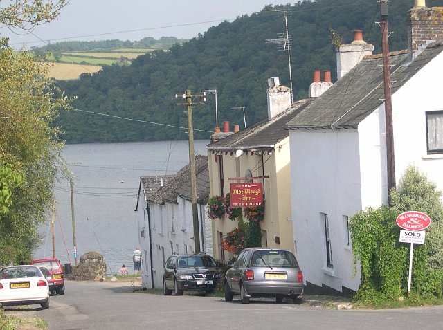 Bere Ferrers leading down to the River Tavy | |
 Bere Ferrers Location within Devon | |
| Population | 2,989 (2011) |
| OS grid reference | SX4563 |
| Civil parish |
|
| District | |
| Shire county |
|
| Region | |
| Country | England |
| Sovereign state | United Kingdom |
| Post town | YELVERTON |
| Postcode district | PL20 |
| Dialling code | 01822 |
| Police | Devon and Cornwall |
| Fire | Devon and Somerset |
| Ambulance | South Western |
| UK Parliament |
|
The civil parish includes the whole of the Bere peninsula, including the village of Bere Alston and the smaller settlements of Tuckermarsh, Rumleigh, Buttspill, Braunder, Cotts, Hewton, Weir Quay, Clamoak, Gnatham and Collytown. In 2001 the parish had a population of 3,066;[1] this had decreased to 2,989 in 2011.[2]
Parish church
Sources
- Rogers, W.H. Hamilton, The Strife of the Roses and Days of the Tudors in the West, Exeter, 1890, pp. 1–36, Willoughby de Broke
See also
- Bere Ferrers rail accident
- Exeter to Plymouth railway of the LSWR
References
- Office for National Statistics : Census 2001 : Parish Headcounts : West Devon Archived 2016-03-03 at the Wayback Machine Retrieved 29 January 2010
- "Parish population 2011". Retrieved 16 February 2015.
External links
Wikimedia Commons has media related to Bere Ferrers.
List of civil parishes in Devon | |
| Exeter1,2 |
|
| East Devon1 |
|
| Mid Devon1 |
|
| North Devon1 |
|
| Torridge1 |
|
| West Devon1,3 |
|
| South Hams1 |
|
| Teignbridge1 |
|
| Plymouth2,4 |
|
| Torbay4 |
|
Bold text denotes a parish council referred to as a "town council".
| |
Текст в блоке "Читать" взят с сайта "Википедия" и доступен по лицензии Creative Commons Attribution-ShareAlike; в отдельных случаях могут действовать дополнительные условия.
Другой контент может иметь иную лицензию. Перед использованием материалов сайта WikiSort.org внимательно изучите правила лицензирования конкретных элементов наполнения сайта.
Другой контент может иметь иную лицензию. Перед использованием материалов сайта WikiSort.org внимательно изучите правила лицензирования конкретных элементов наполнения сайта.
2019-2025
WikiSort.org - проект по пересортировке и дополнению контента Википедии
WikiSort.org - проект по пересортировке и дополнению контента Википедии