world.wikisort.org - Vereinigtes_Königreich
Chelmondiston ist ein Dorf und eine Verwaltungseinheit im District Babergh in der Grafschaft Suffolk, England. Chelmondiston ist 8,4 km von Ipswich entfernt.[1] Im Jahr 2011 hatte es eine Bevölkerung von 1054.[2]
| Chelmondiston | |||
|---|---|---|---|
 | |||
| Koordinaten | 52° 0′ N, 1° 13′ O | ||
| |||
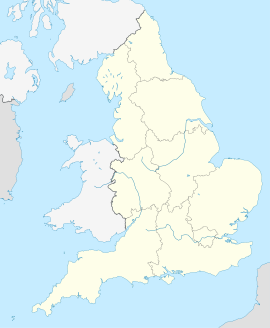
| Traditionelle Grafschaft | Suffolk | ||
| Einwohner | 1054 (Stand: 2011) | ||
| Verwaltung | |||
| Landesteil | England | ||
| Region | East of England | ||
| District | Babergh | ||
| Civil Parish | Chelmondiston | ||
Einzelnachweise
- GENUKI: Distance from CHELMONDISTON [TM205375] (englisch) Abgerufen am 23. März 2017.
- Office for National Statistics: Area: Chelmondiston (Parish) (englisch) Neighbourhood Statistics. Archiviert vom Original am 24. März 2017. Info: Der Archivlink wurde automatisch eingesetzt und noch nicht geprüft. Bitte prüfe Original- und Archivlink gemäß Anleitung und entferne dann diesen Hinweis. Abgerufen am 23. März 2017.
На других языках
- [de] Chelmondiston
[en] Chelmondiston
Chelmondiston is a small village and civil parish in Suffolk, England located on the Shotley Peninsula, five miles south-east of Ipswich. The hamlet of Pin Mill lies within the parish on the south bank of the River Orwell. The village comprises approximately 500 dwellings and has a population of just over 1,000. It is one of the largest villages situated on the Shotley Peninsula.[2]Текст в блоке "Читать" взят с сайта "Википедия" и доступен по лицензии Creative Commons Attribution-ShareAlike; в отдельных случаях могут действовать дополнительные условия.
Другой контент может иметь иную лицензию. Перед использованием материалов сайта WikiSort.org внимательно изучите правила лицензирования конкретных элементов наполнения сайта.
Другой контент может иметь иную лицензию. Перед использованием материалов сайта WikiSort.org внимательно изучите правила лицензирования конкретных элементов наполнения сайта.
2019-2025
WikiSort.org - проект по пересортировке и дополнению контента Википедии
WikiSort.org - проект по пересортировке и дополнению контента Википедии