world.wikisort.org - Spain
Herrera del Duque (Extremaduran: Herrera del Duqui) is a municipality located in the province of Badajoz, Extremadura, Spain. As of 2010[update], the municipality has a population of 3681 inhabitants.[2]
Herrera del Duque | |
|---|---|
 Flag  Coat of arms | |
 Herrera del Duque Location of Herrera del Duque within Extremadura | |
| Coordinates: 39°10′7″N 5°3′4″W | |
| Country | Spain |
| Autonomous community | Extremadura |
| Province | Badajoz |
| Comarca | La Siberia |
| Government | |
| • Mayor | Saturnino Alcázar Vaquerizo |
| Area | |
| • Total | 277.3 km2 (107.1 sq mi) |
| Elevation | 468 m (1,535 ft) |
| Population (2018)[1] | |
| • Total | 3,485 |
| • Density | 13/km2 (33/sq mi) |
| Demonym | Herrereños |
| Time zone | UTC+1 (CET) |
| • Summer (DST) | UTC+2 (CEST) |
| Postal code. | 06670 |
| Website | Official website |
The town is commanded by a 15th-16th-century fortress-castle. Other sights include the church of St. John the Baptist and the hermitage of Nuestra Señora de Consolación.
Villages
The municipality includes the village of Peloche, located at 8 km from the town, with a population of 235 inhabitants according to the 2009 census.[3]
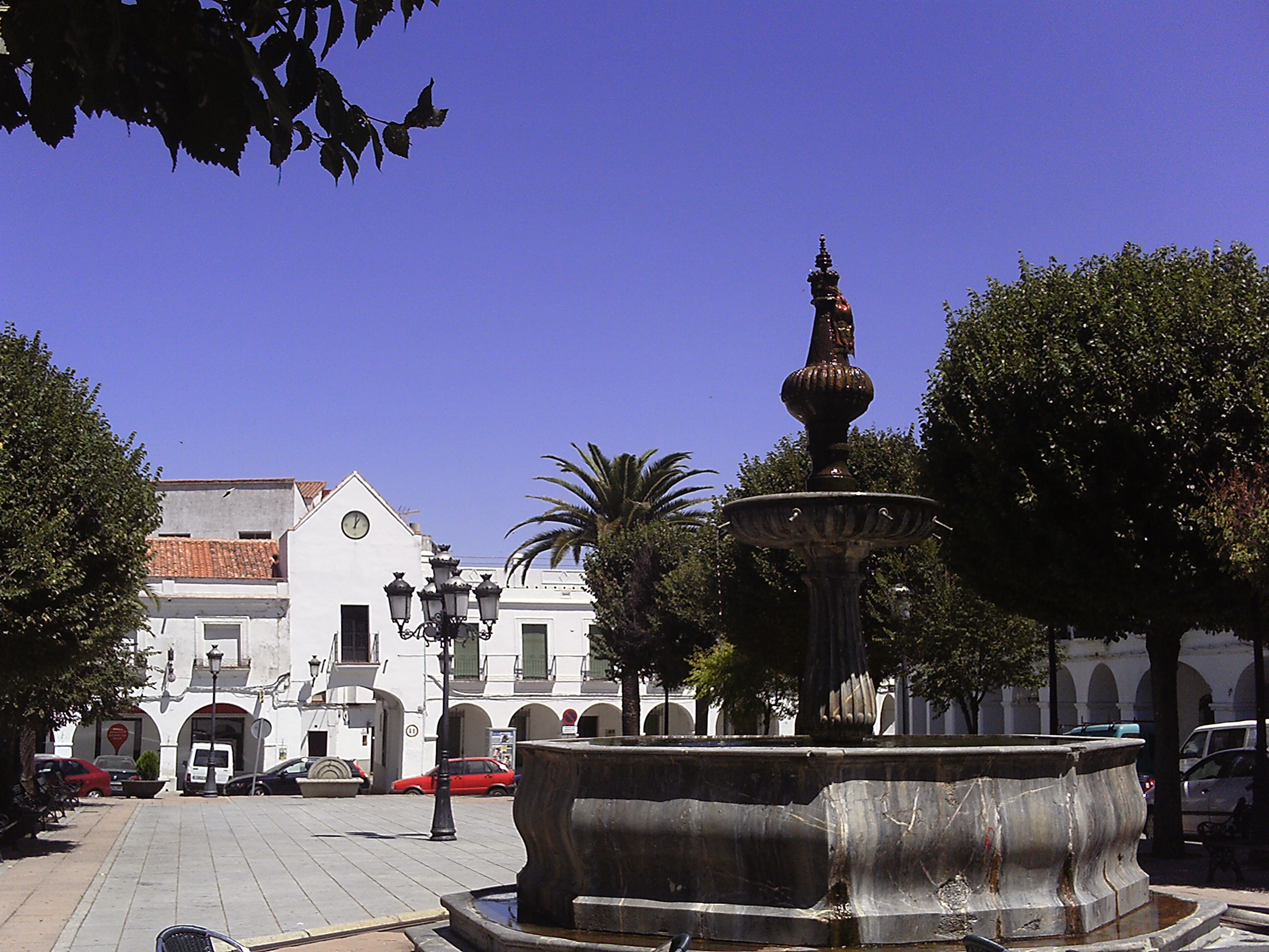
Sights
 |
 |
 |
References
- Municipal Register of Spain 2018. National Statistics Institute.
- INE
- Instituto Nacional de Estadística (INE)
External links
- Official website[permanent dead link]
| Authority control |
|
|---|
This article about a place in the Province of Badajoz is a stub. You can help Wikipedia by expanding it. |
На других языках
- [en] Herrera del Duque
[es] Herrera del Duque
Herrera del Duque es un municipio y localidad española de la provincia de Badajoz, en la comunidad autónoma de Extremadura, situado al nordeste de la provincia. Es la capital de la mancomunidad de Cijara, en la Siberia Norte, y es cabeza del partido judicial homónimo,[2] y uno de los tres arciprestazgos de la Archidiócesis de Toledo en Extremadura.[ru] Эррера-дель-Дуке
Эррера-дель-Дуке (исп. Herrera del Duque) — город и муниципалитет в Испании, входит в провинцию Бадахос в составе автономного сообщества Эстремадура. Муниципалитет находится в составе района (комарки) Ла-Сиберия. Занимает площадь 277,3 км². Население — 3681 человек (на 2010 год). Расстояние до административного центра провинции — 204 км.Текст в блоке "Читать" взят с сайта "Википедия" и доступен по лицензии Creative Commons Attribution-ShareAlike; в отдельных случаях могут действовать дополнительные условия.
Другой контент может иметь иную лицензию. Перед использованием материалов сайта WikiSort.org внимательно изучите правила лицензирования конкретных элементов наполнения сайта.
Другой контент может иметь иную лицензию. Перед использованием материалов сайта WikiSort.org внимательно изучите правила лицензирования конкретных элементов наполнения сайта.
2019-2026
WikiSort.org - проект по пересортировке и дополнению контента Википедии
WikiSort.org - проект по пересортировке и дополнению контента Википедии