world.wikisort.org - Spain
Breña Baja (Spanish for Lower Breña) is a municipality on the eastern side of the island of La Palma, in the province of Santa Cruz de Tenerife, in the Canary Islands. The ayuntamiento (municipal office) is in the town of San José with an elevation of 300 m. Until the 17th century the area was known as Breña, but was then divided into Breña Alta and Breña Baja.
This article needs additional citations for verification. (May 2008) |
Breña Baja | |
|---|---|
Municipality | |
 Flag  Coat of arms | |
 | |
 Breña Baja Location in Canary Islands  Breña Baja Breña Baja (Spain, Canary Islands) | |
| Coordinates: 28°38′N 17°46′W | |
| Country | |
| Autonomous community | |
| Province | |
| Island | |
| Area | |
| • Total | 14.2 km2 (5.5 sq mi) |
| Elevation | 300 m (1,000 ft) |
| Population (2018)[2] | |
| • Total | 5,498 |
| • Density | 390/km2 (1,000/sq mi) |
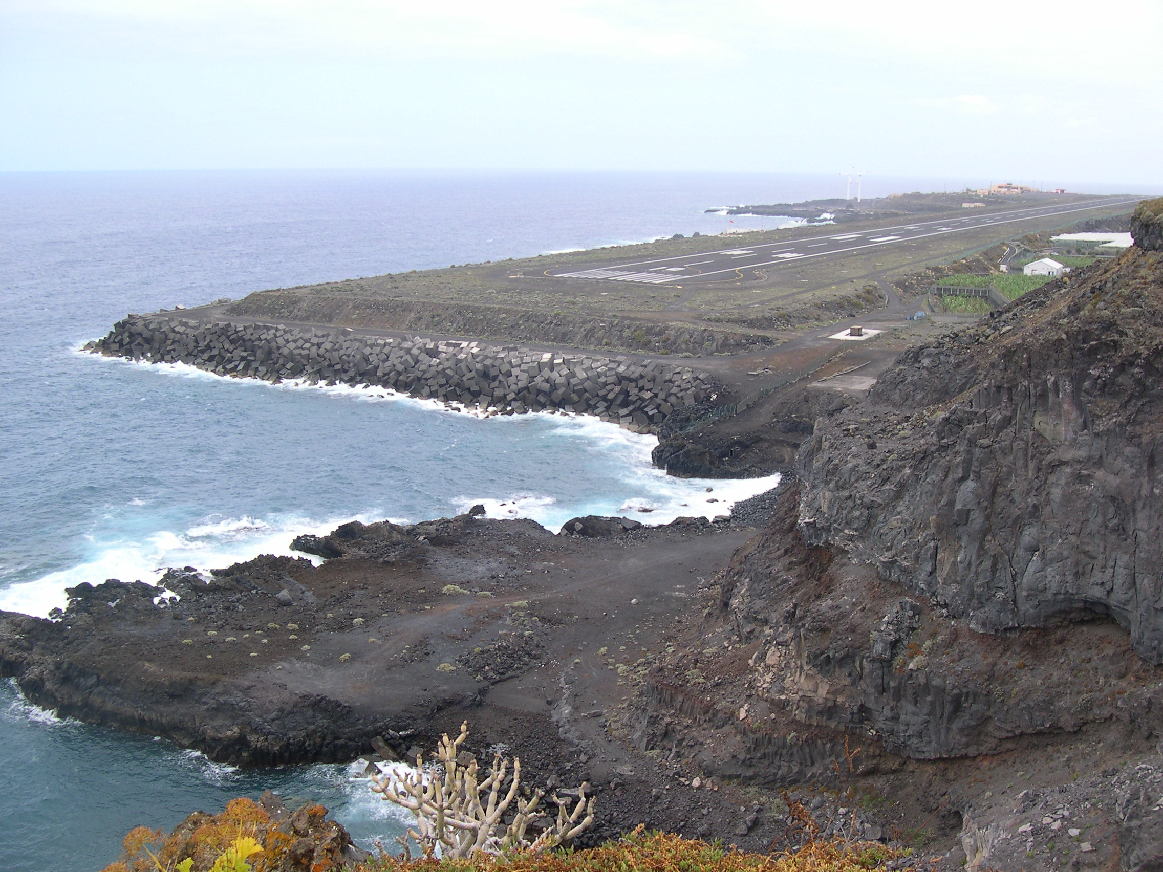
La Palma's second largest resort, Los Cancajos, is on the coast. Part of La Palma Airport (formerly Mazo Airport) is located in the municipality.
Subdivisions
The municipality has 8 subdivisions, or "parishes" (population figures from 2005):
- San Antonio (1,128 persons)
- San José (1,042 persons)
- La Polvacera (672 persons)
- Los Cancajos (467 persons)
- Las Ledas (321 persons)
- El Socorro (309 persons)
- La Montaña (257 persons)
- El Fuerte (159 persons)
Historical population
| Year | Population[3] |
|---|---|
| 1900 | 1,816 |
| 1910 | 2,001 |
| 1920 | 1,859 |
| 1930 | 2,042 |
| 1940 | 2,364 |
| 1950 | 2,405 |
| 1960 | 2,505 |
| 1970 | 2,632 |
| 1980 | 3,363 |
| 1990 | 3,418 |
| 1991 | 3,354 |
| 1996 | 3,746 |
| 2001 | 3,621 |
| 2002 | 4,113 |
| 2003 | 4,187 |
| 2004 | 4,186 |
| 2005 | 4,355 |
| 2006 | 4,470 |
| 2007 | 4,708 |
| 2013 | 5,523 |
See also
- List of municipalities in Santa Cruz de Tenerife
References
- "SUPERFICIE, PERÍMETRO Y ALTITUD DE LOS MUNICIPIOS DE CANARIAS" (in Spanish). Instituto Canario de Estadística (ISTAC).[permanent dead link]
- Municipal Register of Spain 2018. National Statistics Institute.
- "ISTAC "Instituto Canario de Estadistica"" (in Spanish). Archived from the original on 14 November 2010. Retrieved 7 October 2008.
Places adjacent to Breña Baja | ||||||||||||||||
|---|---|---|---|---|---|---|---|---|---|---|---|---|---|---|---|---|
| ||||||||||||||||
Municipalities in the province of Santa Cruz de Tenerife | ||
|---|---|---|
| Tenerife |
| |
| La Palma |
| |
| La Gomera |
| |
| El Hierro |
| |
| Authority control |
|
|---|
На других языках
- [en] Breña Baja
[es] Breña Baja
Breña Baja es un municipio español perteneciente a la provincia de Santa Cruz de Tenerife, Canarias. Está situado en el este de la isla de La Palma.[ru] Брения-Баха
Брения-Баха (исп. Breña Baja) — муниципалитет в Испании, входит в провинцию Санта-Крус-де-Тенерифе в составе автономного сообщества Канарские острова. Находится на острове Пальма. Муниципалитет находится в составе района (комарки) Лас-Бреньяс. Занимает площадь 14,20 км². Население 5259 человек (на 2010 год).Текст в блоке "Читать" взят с сайта "Википедия" и доступен по лицензии Creative Commons Attribution-ShareAlike; в отдельных случаях могут действовать дополнительные условия.
Другой контент может иметь иную лицензию. Перед использованием материалов сайта WikiSort.org внимательно изучите правила лицензирования конкретных элементов наполнения сайта.
Другой контент может иметь иную лицензию. Перед использованием материалов сайта WikiSort.org внимательно изучите правила лицензирования конкретных элементов наполнения сайта.
2019-2026
WikiSort.org - проект по пересортировке и дополнению контента Википедии
WikiSort.org - проект по пересортировке и дополнению контента Википедии