world.wikisort.org - Slovenia
Lopata (pronounced [lɔˈpaːta]) is a settlement in the City Municipality of Celje in eastern Slovenia. It lies on the northwestern outskirts of Celje. The area is part of the traditional region of Styria. It is now included with the rest of the municipality in the Savinja Statistical Region.[2]
Lopata | |
|---|---|
 Lopata Location in Slovenia | |
| Coordinates: 46°15′49.78″N 15°14′7.17″E | |
| Country | Slovenia |
| Traditional region | Styria |
| Statistical region | Savinja |
| Municipality | Celje |
| Area | |
| • Total | 1.72 km2 (0.66 sq mi) |
| Elevation | 253.9 m (833.0 ft) |
| Population (2020) | |
| • Total | 704 |
| • Density | 410/km2 (1,100/sq mi) |
| [1] | |
Name
Like the village of Lopata in the Municipality of Žužemberk, the name of this village is derived from the common noun lopata (now 'shovel' but originally 'flat part/area'), referring to the level terrain of the village surrounded by hills.[3]
References
- Statistical Office of the Republic of Slovenia
- Celje municipal site
- Snoj, Marko (2009). Etimološki slovar slovenskih zemljepisnih imen. Ljubljana: Modrijan. p. 245.
External links
City Municipality of Celje | ||
|---|---|---|
| Administrative seat | Celje |  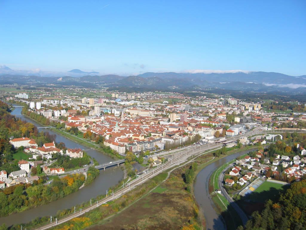 |
| Districts |
| |
| Landmarks |
| |
| Local communities |
| |
| Settlements outside the urban center |
| |
| Former settlements |
| |
| Culture |
| |
| Notable people |
| |
This article about the Municipality of Celje in Slovenia is a stub. You can help Wikipedia by expanding it. |
Текст в блоке "Читать" взят с сайта "Википедия" и доступен по лицензии Creative Commons Attribution-ShareAlike; в отдельных случаях могут действовать дополнительные условия.
Другой контент может иметь иную лицензию. Перед использованием материалов сайта WikiSort.org внимательно изучите правила лицензирования конкретных элементов наполнения сайта.
Другой контент может иметь иную лицензию. Перед использованием материалов сайта WikiSort.org внимательно изучите правила лицензирования конкретных элементов наполнения сайта.
2019-2026
WikiSort.org - проект по пересортировке и дополнению контента Википедии
WikiSort.org - проект по пересортировке и дополнению контента Википедии