world.wikisort.org - Slovenia
Lopata (pronounced [lɔˈpaːta], German: Schaufel[2]) is a village in the hills south of Žužemberk in southeastern Slovenia. The area is part of the historical region of Lower Carniola. The Municipality of Žužemberk is now included in the Southeast Slovenia Statistical Region.[3]
Lopata | |
|---|---|
 | |
 Lopata Location in Slovenia | |
| Coordinates: 45°46′57.56″N 14°53′58.83″E | |
| Country | |
| Traditional region | Lower Carniola |
| Statistical region | Southeast Slovenia |
| Municipality | Žužemberk |
| Area | |
| • Total | 4.8 km2 (1.9 sq mi) |
| Elevation | 368.2 m (1,208.0 ft) |
| Population (2002) | |
| • Total | 86 |
| [1] | |
Name
Lopata was attested in historical sources in 1423 as Schauffell (and as Schawfell in 1430 and Schawffell auff der Dueren Krain 'Schaufel in Dry Carniola' in 1463). These Middle High German names are believed to be translations of the Slovene name, which is derived from the common noun lopata (now 'shovel' but originally 'flat part/area'), referring to the level terrain of the village surrounded by hills.[4]
Church
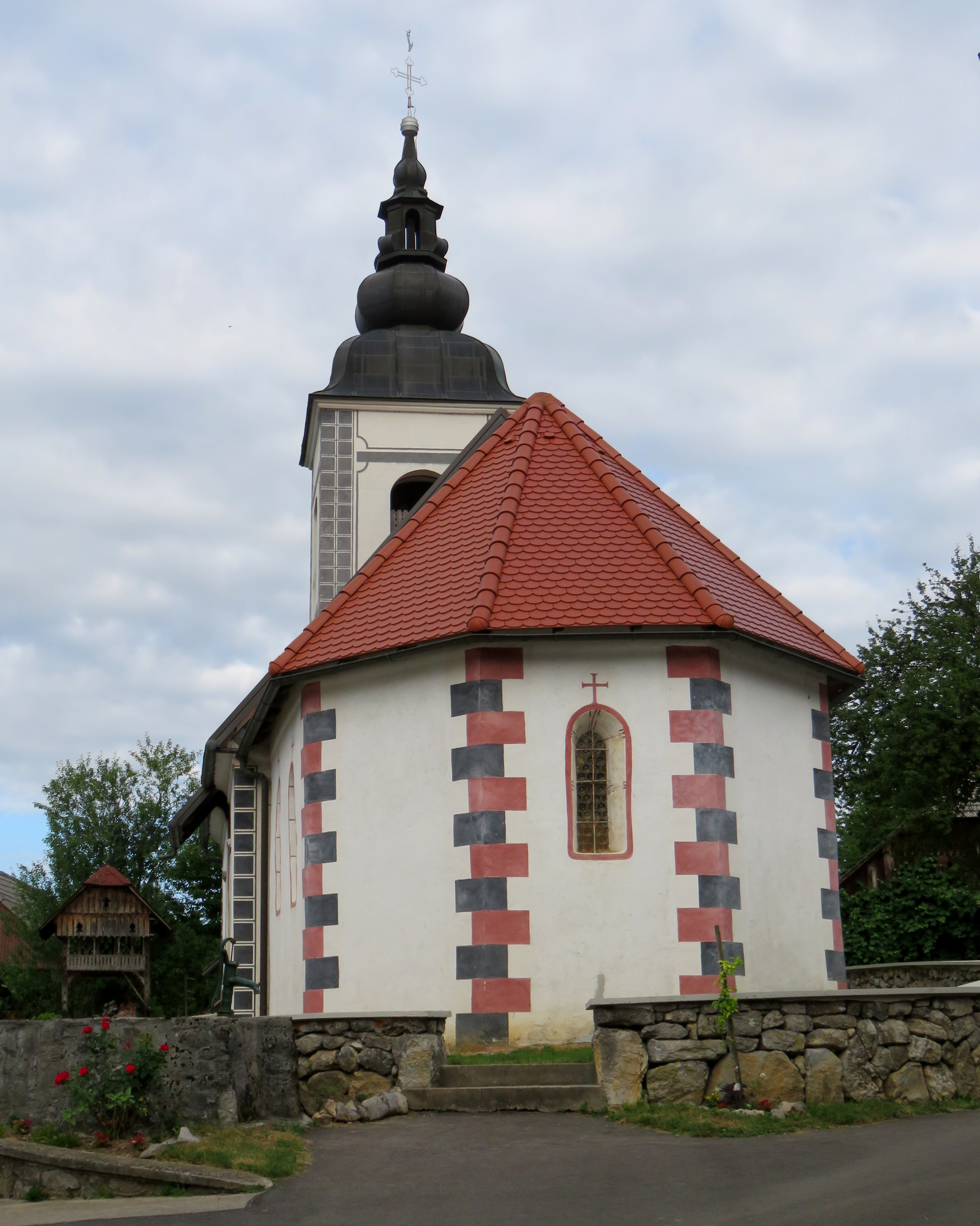
The local church is dedicated to Saint Agnes (Slovene: sveta Neža) and belongs to the Parish of Hinje. It has a medieval nave with 16th-, 17th-, and 18th-century additions.[5]
References
- Statistical Office of the Republic of Slovenia
- Leksikon občin kraljestev in dežel zastopanih v državnem zboru, vol. 6: Kranjsko. Vienna: C. Kr. Dvorna in Državna Tiskarna. 1906. p. 174.
- Žužemberk municipal site
- Snoj, Marko (2009). Etimološki slovar slovenskih zemljepisnih imen. Ljubljana: Modrijan. p. 245.
- "EŠD 1571". Registry of Immovable Cultural Heritage (in Slovenian). Ministry of Culture of the Republic of Slovenia. Retrieved 8 April 2011.
External links
 Media related to Lopata at Wikimedia Commons
- Lopata at Geopedia
Municipality of Žužemberk | ||||||
|---|---|---|---|---|---|---|
| Settlements | Administrative seat: Žužemberk
|  | ||||
| Landmarks |
| |||||
| Notable people |
| |||||
This article about the Municipality of Žužemberk in Slovenia is a stub. You can help Wikipedia by expanding it. |
Другой контент может иметь иную лицензию. Перед использованием материалов сайта WikiSort.org внимательно изучите правила лицензирования конкретных элементов наполнения сайта.
WikiSort.org - проект по пересортировке и дополнению контента Википедии