world.wikisort.org - Serbia
The Zlatibor District (Serbian: Златиборски округ / Zlatiborski okrug, pronounced [zlǎtiboːrskiː ôkruːɡ]) is one of eight administrative districts of Šumadija and Western Serbia. It is located in the western, mountainous part of Serbia. The district was named after the mountain region of Zlatibor. According to the 2011 census results,[1] the Zlatibor District has a population of 286,549 people. The administrative center of the Zlatibor district is Užice.
Zlatibor District
Златиборски округ Zlatiborski okrug | |
|---|---|
District of Serbia | |
      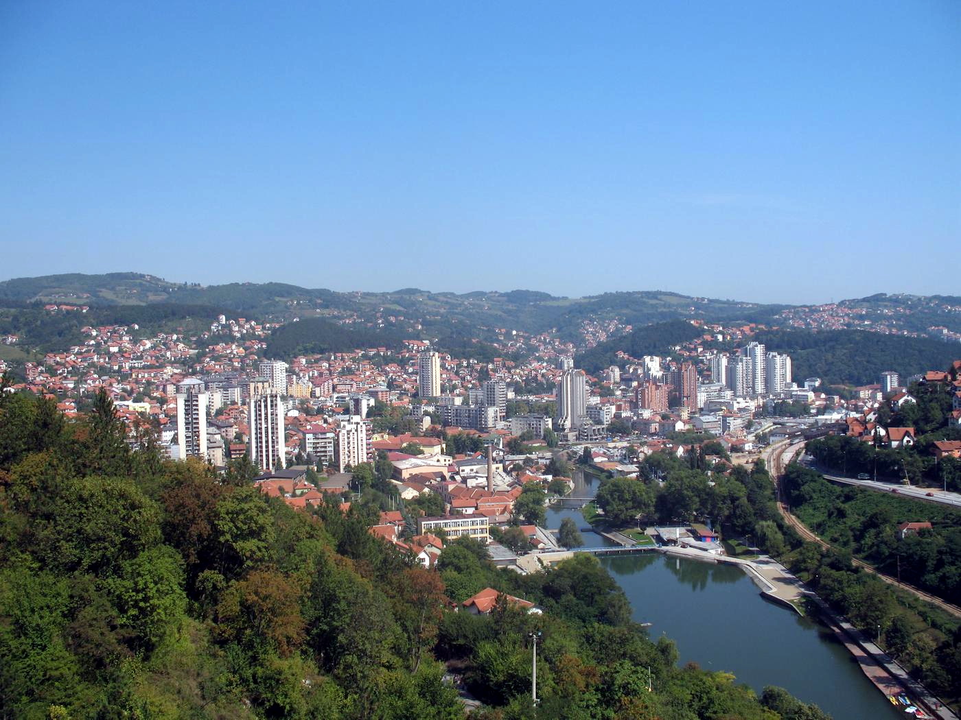         Images from the Zlatibor District | |
 Location of the Zlatibor District within Serbia | |
| Coordinates: 43°51′N 19°51′E | |
| Country | |
| Region | Šumadija and Western Serbia |
| Administrative center | Užice |
| Government | |
| • Commissioner | Boban Perišić |
| Area | |
| • Total | 6,140 km2 (2,370 sq mi) |
| Population (2011 census) | |
| • Total | 286,549 |
| • Density | 46.7/km2 (121/sq mi) |
| ISO 3166 code | RS-16 |
| Municipalities | 9 and 1 city |
| Settlements | 438 |
| - Cities and towns | 11 |
| - Villages | 427 |
| Website | www |
Municipalities

The district encompasses the municipalities of:
- Bajina Bašta
- Kosjerić
- Užice
- Požega
- Čajetina
- Arilje
- Nova Varoš
- Prijepolje
- Sjenica
- Priboj
Demographics
| Year | Pop. | ±% p.a. |
|---|---|---|
| 1948 | 270,830 | — |
| 1953 | 293,015 | +1.59% |
| 1961 | 308,918 | +0.66% |
| 1971 | 324,065 | +0.48% |
| 1981 | 335,570 | +0.35% |
| 1991 | 335,826 | +0.01% |
| 2002 | 313,396 | −0.63% |
| 2011 | 286,549 | −0.99% |
| Source: [2] | ||
According to the last official census done in 2011, the Zlatibor Distri
ct has 286,549 inhabitants. 51.2% of the population lives in the urban areas. Ethnic composition of the district:[3]
| Ethnic group | Population | Proportion |
|---|---|---|
| Serbs | 235,650 | 82.2% |
| Bosniaks | 43,220 | 15.1% |
| Romani | 785 | 0.27% |
| Montenegrins | 561 | 0.2% |
| Yugoslavs | 258 | 0.09% |
| Croats | 175 | 0.06% |
| Macedonians | 118 | 0.04% |
| Others | 4,782 | 1.7% |
| Total | 286,549 |
Society and culture
This section does not cite any sources. (September 2018) |


Culture
In the vicinity of Bajina Bašta stands the Rača monastery, built in the 13th century. Over its history, this monastery was destroyed several times and then reconstructed. Rača Monastery's final destruction (after the Turks and the Austro-Hungarian Army), came at the hands of Bulgarian forces in 1943. It was renovated and restored after the end of World War II. The church was an important center of transcription and illumination of Serbia's manuscripts, with its monks known as the Račani, during the 17th century.
The Mileševa Monastery, built in 1234 near Prijepolje, was the endowment of King Stefan Vladislav I of Serbia, the son of Stefan the First-Crowned.
This monastery was the second most important in Serbia, after it received the bones of Serbia's most-revered patriarch, Saint Sava, in 1236. The monastery has been destroyed and rebuilt several times, though 100 compositions, frescoes of individual figures, and fragments of important religious icons have been preserved. The most famous icon of Mileševa is The White Angel fresco, a famous, widely used religious icon throughout Serbia.[citation needed]
Tourism
The Zlatibor District is home to several tourist destinations. Visitors to the slopes of Zlatibor Mountain, explore the natural environment of Tara National Park,[citation needed] float down the Drina River or cruise Lake Perućac, ride the rail experience known as Šargan Eight, visit the traditional ethnic village of Mokra Gora, tour the World War II monument of Kadinjača Memorial Complex, immerse themselves in the history of Užice and its importance as an independent stronghold,[citation needed] or visit Kremna, home of the Prophecy from Kremna.[citation needed]
Education
There is one faculty located in the Zlatibor District that is within the University of Kragujevac:
- Teachers Training Faculty in Užice
See also
- Administrative divisions of Serbia
- List of districts of Serbia
- Zlatibor
References
- "Population Census 2002". Archived from the original on April 24, 2011. Retrieved July 23, 2012.
- "2011 Census of Population, Households and Dwellings in the Republic of Serbia" (PDF). stat.gov.rs. Statistical Office of the Republic of Serbia. Retrieved 11 January 2017.
- "Попис становништва, домаћинстава и станова 2011. у Републици Србији" (PDF). stat.gov.rs. Republički zavod za statistiku. Retrieved 15 December 2016.
Note: All official material made by the Government of Serbia is public by law. Information was taken from the web
.
External links
| Authority control |
|
|---|
На других языках
- [en] Zlatibor District
[ru] Златиборский округ
Златиборский округ (серб. Златиборски управни округ) — округ в западной части Сербии, на границе с Боснией и Герцеговиной и Черногорией.Другой контент может иметь иную лицензию. Перед использованием материалов сайта WikiSort.org внимательно изучите правила лицензирования конкретных элементов наполнения сайта.
WikiSort.org - проект по пересортировке и дополнению контента Википедии