world.wikisort.org - Serbia
Raška (Serbian Cyrillic: Рашка, pronounced [râʃkaː]) is a town and municipality located in the Raška District of southwestern Serbia. The municipality has a population of 24,680 people, while the town has a population of 6,574 people (2011 census). It covers an area of 670 km2 (259 sq. mi.). The town is situated on the rivers Raška and Ibar.
Raška
| |
|---|---|
Town and municipality | |
       Raška | |
 Coat of arms | |
 Location of the municipality of Raška within Serbia | |
| Coordinates: 43°17′31″N 20°36′56″E | |
| Country | |
| Region | Šumadija and Western Serbia |
| District | Raška |
| Settlements | 61 |
| Government | |
| • Mayor | Nemanja Popović (SNS) |
| Area | |
| • Town | 3.90 km2 (1.51 sq mi) |
| • Municipality | 670 km2 (260 sq mi) |
| Elevation | 497 m (1,631 ft) |
| Population (2011 census)[2] | |
| • Town | 6,574 |
| • Town density | 1,700/km2 (4,400/sq mi) |
| • Municipality | 24,680 |
| • Municipality density | 37/km2 (95/sq mi) |
| Time zone | UTC+1 (CET) |
| • Summer (DST) | UTC+2 (CEST) |
| Postal code | 36350 |
| Area code | +381(0)36 |
| Car plates | RA |
| Website | www |
History
The town and municipality bears the name of the historical Raška region. From 1929 to 1941, Raška was part of the Zeta Banovina of the Kingdom of Yugoslavia.
Demographics
| Year | Pop. | ±% p.a. |
|---|---|---|
| 1948 | 25,837 | — |
| 1953 | 28,008 | +1.63% |
| 1961 | 29,856 | +0.80% |
| 1971 | 29,367 | −0.17% |
| 1981 | 29,475 | +0.04% |
| 1991 | 28,747 | −0.25% |
| 2002 | 26,981 | −0.57% |
| 2011 | 24,678 | −0.99% |
| Source: [3] | ||
According to the 2011 census results, the municipality of Raška has 24,678 inhabitants.
Ethnic groups
The ethnic composition of the municipality:[4]
| Ethnic group | Population | % |
|---|---|---|
| Serbs | 24,135 | 97.80% |
| Romani | 202 | 0.82% |
| Montenegrins | 45 | 0.18% |
| Macedonians | 21 | 0.09% |
| Albanians | 12 | 0.05% |
| Gorani | 12 | 0.05% |
| Others | 251 | 1.02% |
| Total | 24,678 |
Economy
The following table gives a preview of total number of registered people employed in legal entities per their core activity (as of 2018):[5]
| Activity | Total |
|---|---|
| Agriculture, forestry and fishing | 97 |
| Mining and quarrying | 460 |
| Manufacturing | 826 |
| Electricity, gas, steam and air conditioning supply | 110 |
| Water supply; sewerage, waste management and remediation activities | 141 |
| Construction | 197 |
| Wholesale and retail trade, repair of motor vehicles and motorcycles | 776 |
| Transportation and storage | 358 |
| Accommodation and food services | 816 |
| Information and communication | 77 |
| Financial and insurance activities | 38 |
| Real estate activities | 15 |
| Professional, scientific and technical activities | 93 |
| Administrative and support service activities | 149 |
| Public administration and defense; compulsory social security | 455 |
| Education | 459 |
| Human health and social work activities | 205 |
| Arts, entertainment and recreation | 219 |
| Other service activities | 114 |
| Individual agricultural workers | 112 |
| Total | 5,745 |
Gallery
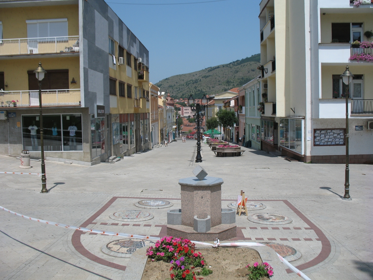
 Town center square
 Town center square
 Train station in Raška
 Church of St. Archangel
 Park in Jošanička Banja
 Baljevac na Ibru town panorama
 Brvenik village panorama
 Brvenik village panorama


Notable people
- Branko Jovicic, Serbian and Red Star football player
- Savatije Milošević, Serbian hajduk and Chetnik commander, born in Pavlica
- Serbian Patriarch German
- Goran Bogdanović, Serbian politician
- Milenković family (Svetozar Milenković (1907-1983), Vida Milenković (1912-1992), and Aleksandar Petrović), Righteous Among the Nations
- Zoran Pešić, Serbian footballer
- Mihailo Petrović (1871-1941), Chetnik
- Lazar Popović, Serbian footballer
- Marko Sočanac, Serbian football player
- Milunka Savić, Serbian WWI hero
See also
- Varevo
References
- "Municipalities of Serbia, 2006". Statistical Office of Serbia. Retrieved 2010-11-28.
- "2011 Census of Population, Households and Dwellings in the Republic of Serbia: Comparative Overview of the Number of Population in 1948, 1953, 1961, 1971, 1981, 1991, 2002 and 2011, Data by settlements" (PDF). Statistical Office of Republic Of Serbia, Belgrade. 2014. ISBN 978-86-6161-109-4. Retrieved 2014-06-27.
- "2011 Census of Population, Households and Dwellings in the Republic of Serbia" (PDF). stat.gov.rs. Statistical Office of the Republic of Serbia. Retrieved 11 January 2017.
- "Попис становништва, домаћинстава и станова 2011. у Републици Србији" (PDF). stat.gov.rs. Republički zavod za statistiku. Retrieved 14 January 2017.
- "MUNICIPALITIES AND REGIONS OF THE REPUBLIC OF SERBIA, 2019" (PDF). stat.gov.rs. Statistical Office of the Republic of Serbia. 25 December 2019. Retrieved 28 December 2019.
External links


Authority control | |
|---|---|
| General |
|
| National libraries | |
This Raška District, Serbia location article is a stub. You can help Wikipedia by expanding it. |
На других языках
[de] Raška (Stadt)
Raška (serbisch-kyrillisch Рашка, deutsch: Raschka) ist eine Kleinstadt in Serbien am Ibar. Sie hat 6619 Einwohner (Stand 2002).- [en] Raška, Serbia
[ru] Рашка (город)
Рашка (серб. Рашка) — посёлок городского типа, расположенный в Рашском округе в Сербии с численностью населения 6665 (по данным переписи за 2012 год)[1]. Недалеко от города находятся развалины города Стари-Рас, бывшей столицы Старой Сербии[2].Другой контент может иметь иную лицензию. Перед использованием материалов сайта WikiSort.org внимательно изучите правила лицензирования конкретных элементов наполнения сайта.
WikiSort.org - проект по пересортировке и дополнению контента Википедии