world.wikisort.org - Russia
Ust-Olenyok (Russian: Усть-Оленёк; Yakut: Уус Өлөөн) is a rural locality (a selo), the only inhabited locality, and the administrative center of Ystannakhsky Rural Okrug of Bulunsky District in the Sakha Republic, Russia, located 365 kilometers (227 mi) from Tiksi, the administrative center of the district.[1] Its population as of the 2010 Census was 27,[2] down from 52 recorded during the 2002 Census.[1]
Ust-Olenyok
Усть-Оленек | |
|---|---|
Selo[1] | |
Location of Ust-Olenyok  | |
 Ust-Olenyok Location of Ust-Olenyok  Ust-Olenyok Ust-Olenyok (Sakha Republic) | |
| Coordinates: 72°59′N 119°49′E | |
| Country | Russia |
| Federal subject | Sakha Republic[1] |
| Administrative district | Bulunsky District[1] |
| Rural okrug | Ystannakhsky Rural Okrug[1] |
| Population | |
| • Total | 27 |
Administrative status | |
| • Capital of | Ystannakhsky Rural Okrug[1] |
Municipal status | |
| • Municipal district | Bulunsky Municipal District[3] |
| • Rural settlement | Tyumetinsky Rural Settlement[3] |
| Time zone | UTC+9 (MSK+6 |
| Postal code(s)[5] | 678415 |
| OKTMO ID | 98612445111 |
Geography
The settlement is located on the slope of a low hill, by the right bank of the mouth of the Olenyok River. The confluence of the Buolkalakh is located about 9 km (5.6 mi) upstream on the facing bank.[6]
History
The first settlement was a wintering hut built in 1633 near the modern village. It served as the administrative center of the desolate area and it was used by Arctic expeditions in different occasions in history.[7]
 |
Climate
Ust-Olenyok has a tundra climate (ET) with short, cool summers and long, severely cold winters. On June 30th, 2020 the temperature soared to 93.7 °F (34.3 °C) which may be the farthest north above 90 °F (32.2 °C) recorded above the 72 °N parallel. The following morning the temperature only dropped to 72.7 °F (22.6 °C).[8]
| Climate data for Ust-Olenyok | |||||||||||||
|---|---|---|---|---|---|---|---|---|---|---|---|---|---|
| Month | Jan | Feb | Mar | Apr | May | Jun | Jul | Aug | Sep | Oct | Nov | Dec | Year |
| Record high °C (°F) | −12.8 (9.0) |
−10.4 (13.3) |
8.0 (46.4) |
15.0 (59.0) |
12.0 (53.6) |
34.3 (93.7) |
31.1 (88.0) |
26.2 (79.2) |
25.0 (77.0) |
14.5 (58.1) |
1.0 (33.8) |
−6.3 (20.7) |
31.1 (88.0) |
| Average high °C (°F) | −30.6 (−23.1) |
−29.6 (−21.3) |
−24.6 (−12.3) |
−16.2 (2.8) |
−5.4 (22.3) |
5.5 (41.9) |
12.3 (54.1) |
10.0 (50.0) |
2.7 (36.9) |
−10.3 (13.5) |
−23.3 (−9.9) |
−28.0 (−18.4) |
−12.6 (9.3) |
| Daily mean °C (°F) | −33.4 (−28.1) |
−32.4 (−26.3) |
−28.1 (−18.6) |
−20.2 (−4.4) |
−8.3 (17.1) |
2.5 (36.5) |
8.4 (47.1) |
6.7 (44.1) |
0.5 (32.9) |
−13.0 (8.6) |
−26.4 (−15.5) |
−30.9 (−23.6) |
−15.7 (3.7) |
| Average low °C (°F) | −36.8 (−34.2) |
−35.9 (−32.6) |
−32.2 (−26.0) |
−25.3 (−13.5) |
−12.5 (9.5) |
−0.9 (30.4) |
4.1 (39.4) |
3.4 (38.1) |
−2.0 (28.4) |
−16.3 (2.7) |
−29.7 (−21.5) |
−34.3 (−29.7) |
−19.4 (−2.9) |
| Record low °C (°F) | −50.0 (−58.0) |
−52.0 (−61.6) |
−46.1 (−51.0) |
−40.3 (−40.5) |
−28.9 (−20.0) |
−25.0 (−13.0) |
−2.2 (28.0) |
−6.1 (21.0) |
−12.2 (10.0) |
−40.0 (−40.0) |
−46.2 (−51.2) |
−49.1 (−56.4) |
−52.0 (−61.6) |
| Average precipitation mm (inches) | 7.2 (0.28) |
7.7 (0.30) |
12.6 (0.50) |
14.2 (0.56) |
14.3 (0.56) |
26.3 (1.04) |
21.2 (0.83) |
36.5 (1.44) |
22.1 (0.87) |
34.1 (1.34) |
16.5 (0.65) |
10.7 (0.42) |
223.4 (8.80) |
| Source: [9] | |||||||||||||
References
Notes
- Registry of the Administrative-Territorial Divisions of the Sakha Republic
- Sakha Republic Territorial Branch of the Federal State Statistics Service. Results of the 2010 All-Russian Census. Численность населения по районам, городским и сельским населённым пунктам (Population Counts by Districts, Urban and Rural Inhabited Localities) (in Russian)
- Law #173-Z 353-III
- "Об исчислении времени". Официальный интернет-портал правовой информации (in Russian). June 3, 2011. Retrieved January 19, 2019.
- Почта России. Информационно-вычислительный центр ОАСУ РПО. (Russian Post). Поиск объектов почтовой связи (Postal Objects Search) (in Russian)
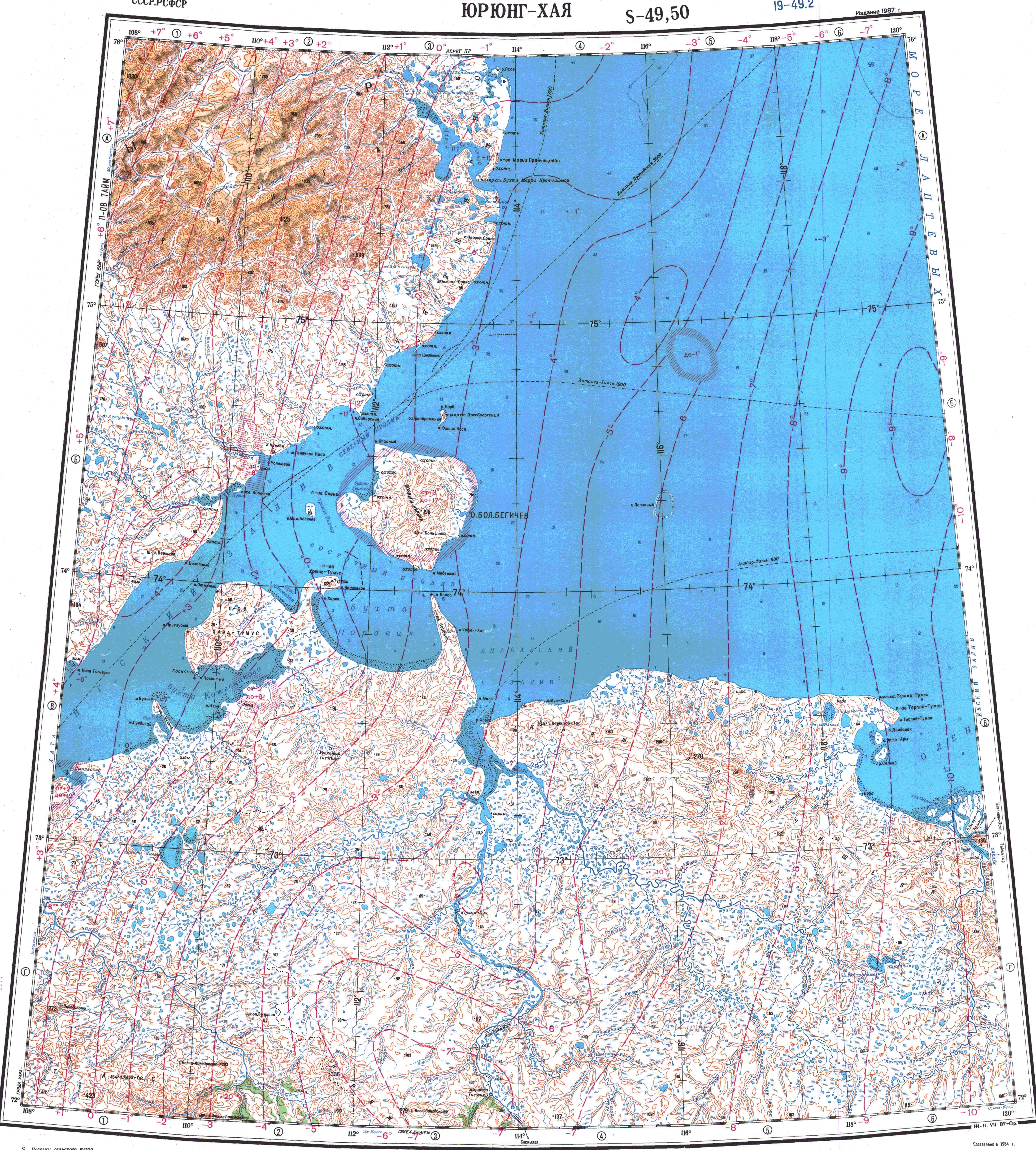
- "Топографска карта S-49 50; M 1:1 000 000 - Topographic USSR Chart (in Russian)". Retrieved May 3, 2022.
- Olenyok wintering hut, a historical monument of Eastern Siberia . Bulletin of Tomsk State University. No. 3 (23), 2013
- "100-Degree Fahrenheit Temperature Confirmed in Siberia; 90s Measured at Russian Arctic Coast". The Weather Channel. Retrieved July 16, 2020.
- "Weather Averages for Ust-Olenyok (1955-1991)". climatebase.ru. Retrieved December 18, 2014.
Sources
- Official website of the Sakha Republic. Registry of the Administrative-Territorial Divisions of the Sakha Republic. Bulunsky District. (in Russian)
- Государственное Собрание (Ил Тумэн) Республики Саха (Якутия). Закон №173-З №353-III от 30 ноября 2004 г. «Об установлении границ и о наделении статусом городского и сельского поселений муниципальных образований Республики Саха (Якутия)», в ред. Закона №1058-З №1007-IV от 25 апреля 2012 г. «О внесении изменений в Закон Республики Саха (Якутия) "Об установлении границ и о наделении статусом городского и сельского поселений муниципальных образований Республики Саха (Якутия)"». Вступил в силу со дня официального опубликования. Опубликован: "Якутия", №245, 31 декабря 2004 г. (State Assembly (Il Tumen) of the Sakha (Yakutia) Republic. Law #173-Z No. 353-III of November 30, 2004 On Establishing the Borders and on Granting the Urban and Rural Settlement Status to the Municipal Formations of the Sakha (Yakutia) Republic, as amended by the Law #1058-Z No. 1007-IV of April 25, 2012 On Amending the Law of the Sakha (Yakutia) Republic "On Establishing the Borders and on Granting the Urban and Rural Settlement Status to the Municipal Formations of the Sakha (Yakutia) Republic". Effective as of the day of the official publication.).
Rural localities in Bulunsky District | |||
|---|---|---|---|
На других языках
- [en] Ust-Olenyok
[ru] Усть-Оленёк
Усть-Оленёк — село в Булунском улусе Якутии, Россия. Входит в сельское поселение Тюметинский эвенкийский национальный наслег.Другой контент может иметь иную лицензию. Перед использованием материалов сайта WikiSort.org внимательно изучите правила лицензирования конкретных элементов наполнения сайта.
WikiSort.org - проект по пересортировке и дополнению контента Википедии