world.wikisort.org - Russia
Taymylyr (Russian: Таймылыр; Yakut: Таймылыыр, romanized: Taymılıır) is a rural locality (a selo) and the administrative center of Tyumetinsky Rural Okrug of Bulunsky District in the Sakha Republic, Russia, located 190 kilometers (120 mi) from Tiksi, the administrative center of the district.[1] Its population as of the 2010 Census was 757,[2] down from 900 recorded during the 2002 Census.[1]
Taymylyr
Таймылыр | |
|---|---|
Selo[1] | |
| Other transcription(s) | |
| • Sakha | Таймылыыр |
Location of Taymylyr  | |
 Taymylyr Location of Taymylyr  Taymylyr Taymylyr (Sakha Republic) | |
| Coordinates: 72°37′N 121°55′E | |
| Country | Russia |
| Federal subject | Sakha Republic[1] |
| Administrative district | Bulunsky District[1] |
| Rural okrug | Tyumetinsky Rural Okrug[1] |
| Founded | 1930 |
| Population | |
| • Total | 757 |
Administrative status | |
| • Capital of | Tyumetinsky Rural Okrug[1] |
Municipal status | |
| • Municipal district | Bulunsky Municipal District[3] |
| • Rural settlement | Tyumetinsky Rural Settlement[3] |
| • Capital of | Tyumetinsky Rural Settlement[3] |
| Time zone | UTC+9 (MSK+6 |
| Postal code(s)[5] | 678414 |
| OKTMO ID | 98612445101 |
Geography
Taymylyr lies north of the Arctic Circle, on the left bank of the Olenyok River, downstream of its confluence with the Kelimyar. The nearest settlement is Ust-Olenyok located further downriver.[6]
Demographics
According to the 2010 Census, the vast majority of the rural okrug's population was composed of indigenous Siberian peoples, with Evenks making up 48%, and Evens and Yakuts around 22% each.
Economy and infrastructure
The local economy is based on reindeer herding, hunting, and fishing.
Climate
Taymylyr lies on the July 10°C isotherm and has a tundra climate (ET) closely bordering on a subarctic climate (Dfc).
| Climate data for Taymylyr | |||||||||||||
|---|---|---|---|---|---|---|---|---|---|---|---|---|---|
| Month | Jan | Feb | Mar | Apr | May | Jun | Jul | Aug | Sep | Oct | Nov | Dec | Year |
| Record high °C (°F) | −13.9 (7.0) |
−16.1 (3.0) |
−3.9 (25.0) |
−0.6 (30.9) |
7.8 (46.0) |
29.0 (84.2) |
30.0 (86.0) |
33.0 (91.4) |
20.0 (68.0) |
8.2 (46.8) |
−3.9 (25.0) |
−7.3 (18.9) |
33.0 (91.4) |
| Average high °C (°F) | −32.6 (−26.7) |
−30.2 (−22.4) |
−25.3 (−13.5) |
−15.4 (4.3) |
−5.5 (22.1) |
6.9 (44.4) |
14.4 (57.9) |
10.1 (50.2) |
2.8 (37.0) |
−10.4 (13.3) |
−23.1 (−9.6) |
−28.5 (−19.3) |
−12.3 (9.9) |
| Daily mean °C (°F) | −35.6 (−32.1) |
−33.4 (−28.1) |
−29.2 (−20.6) |
−20.0 (−4.0) |
−8.8 (16.2) |
3.5 (38.3) |
9.8 (49.6) |
6.3 (43.3) |
0.1 (32.2) |
−13.6 (7.5) |
−26.4 (−15.5) |
−38 (−36) |
−15.4 (4.2) |
| Average low °C (°F) | −38.7 (−37.7) |
−36.6 (−33.9) |
−33.1 (−27.6) |
−24.6 (−12.3) |
−12.1 (10.2) |
0.0 (32.0) |
5.2 (41.4) |
2.4 (36.3) |
−2.7 (27.1) |
−16.8 (1.8) |
−29.6 (−21.3) |
−34.8 (−30.6) |
−19.4 (−2.9) |
| Record low °C (°F) | −50.6 (−59.1) |
−51.0 (−59.8) |
−47.8 (−54.0) |
−41.4 (−42.5) |
−28.9 (−20.0) |
−11.1 (12.0) |
−2.2 (28.0) |
−5.0 (23.0) |
−14.0 (6.8) |
−35.0 (−31.0) |
−47.8 (−54.0) |
−50.6 (−59.1) |
−51.0 (−59.8) |
| Average precipitation mm (inches) | 5.4 (0.21) |
19.8 (0.78) |
13.7 (0.54) |
9.5 (0.37) |
29.6 (1.17) |
18.5 (0.73) |
30.2 (1.19) |
23.6 (0.93) |
43.5 (1.71) |
41.5 (1.63) |
19.4 (0.76) |
12.0 (0.47) |
266.7 (10.50) |
| Source: [7] | |||||||||||||
References
Notes
- Registry of the Administrative-Territorial Divisions of the Sakha Republic
- Sakha Republic Territorial Branch of the Federal State Statistics Service. Results of the 2010 All-Russian Census. Численность населения по районам, городским и сельским населённым пунктам (Population Counts by Districts, Urban and Rural Inhabited Localities) (in Russian)
- Law #173-Z 353-III
- "Об исчислении времени". Официальный интернет-портал правовой информации (in Russian). June 3, 2011. Retrieved January 19, 2019.
- Почта России. Информационно-вычислительный центр ОАСУ РПО. (Russian Post). Поиск объектов почтовой связи (Postal Objects Search) (in Russian)
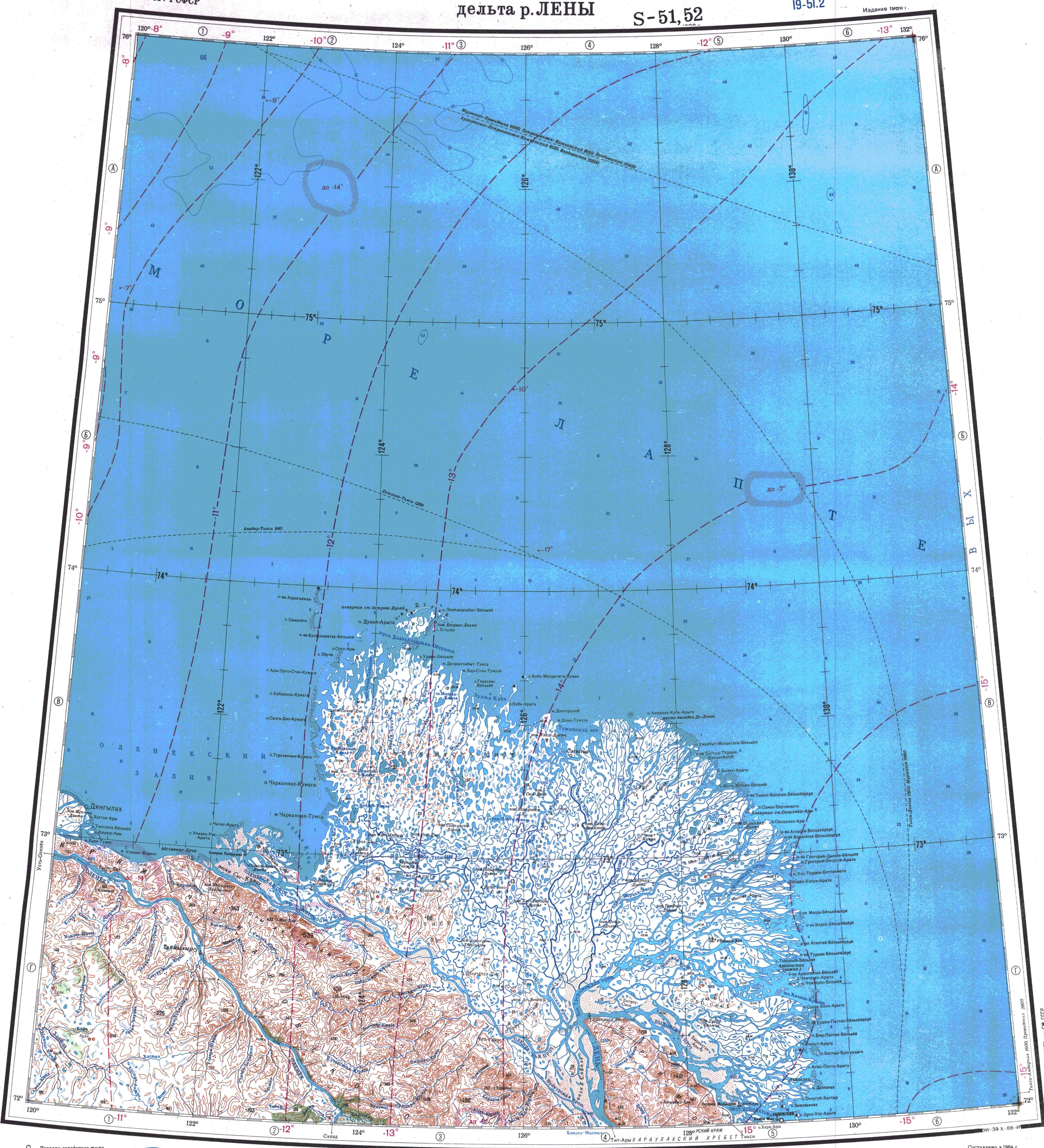
- "Топографска карта S-51 52; M 1:1 000 000 - Topographic USSR Chart (in Russian)". Retrieved May 5, 2022.
- "Weather Averages for Taymylyr (1955-1991)". climatebase.ru. Retrieved February 17, 2015.
Sources
- Official website of the Sakha Republic. Registry of the Administrative-Territorial Divisions of the Sakha Republic. Bulunsky District. (in Russian)
- Государственное Собрание (Ил Тумэн) Республики Саха (Якутия). Закон №173-З №353-III от 30 ноября 2004 г. «Об установлении границ и о наделении статусом городского и сельского поселений муниципальных образований Республики Саха (Якутия)», в ред. Закона №1058-З №1007-IV от 25 апреля 2012 г. «О внесении изменений в Закон Республики Саха (Якутия) "Об установлении границ и о наделении статусом городского и сельского поселений муниципальных образований Республики Саха (Якутия)"». Вступил в силу со дня официального опубликования. Опубликован: "Якутия", №245, 31 декабря 2004 г. (State Assembly (Il Tumen) of the Sakha (Yakutia) Republic. Law #173-Z No. 353-III of November 30, 2004 On Establishing the Borders and on Granting the Urban and Rural Settlement Status to the Municipal Formations of the Sakha (Yakutia) Republic, as amended by the Law #1058-Z No. 1007-IV of April 25, 2012 On Amending the Law of the Sakha (Yakutia) Republic "On Establishing the Borders and on Granting the Urban and Rural Settlement Status to the Municipal Formations of the Sakha (Yakutia) Republic". Effective as of the day of the official publication.).
Rural localities in Bulunsky District | |||
|---|---|---|---|
На других языках
- [en] Taymylyr
[ru] Таймылыр
Таймылыр (якут. Таймылыыр) — село в Булунском улусе Якутии России. Административный центр сельского поселения Тюметинский эвенкийский национальный наслег. Население 757[1] чел. (2010) .mw-parser-output .ts-Переход img{margin-left:.285714em}[⇨].Другой контент может иметь иную лицензию. Перед использованием материалов сайта WikiSort.org внимательно изучите правила лицензирования конкретных элементов наполнения сайта.
WikiSort.org - проект по пересортировке и дополнению контента Википедии