world.wikisort.org - Russia
Bagrationovsky District (Russian: Багратио́новский райо́н) is an administrative district (raion), one of the fifteen in Kaliningrad Oblast, Russia.[1] As a municipal division, it is incorporated as Bagrationovsky Municipal District.[6] It is located in the southwest of the oblast. The area of the district is 1,146 square kilometers (442 sq mi).[3] Its administrative center is the town of Bagrationovsk.[2] Population: 32,352 (2010 Census);[4] 45,672 (2002 Census);[7] 39,724 (1989 Census).[8] The population of Bagrationovsk accounts for 19.8% of the district's total population.[4]
Bagrationovsky District
Багратионовский район | |
|---|---|
District | |
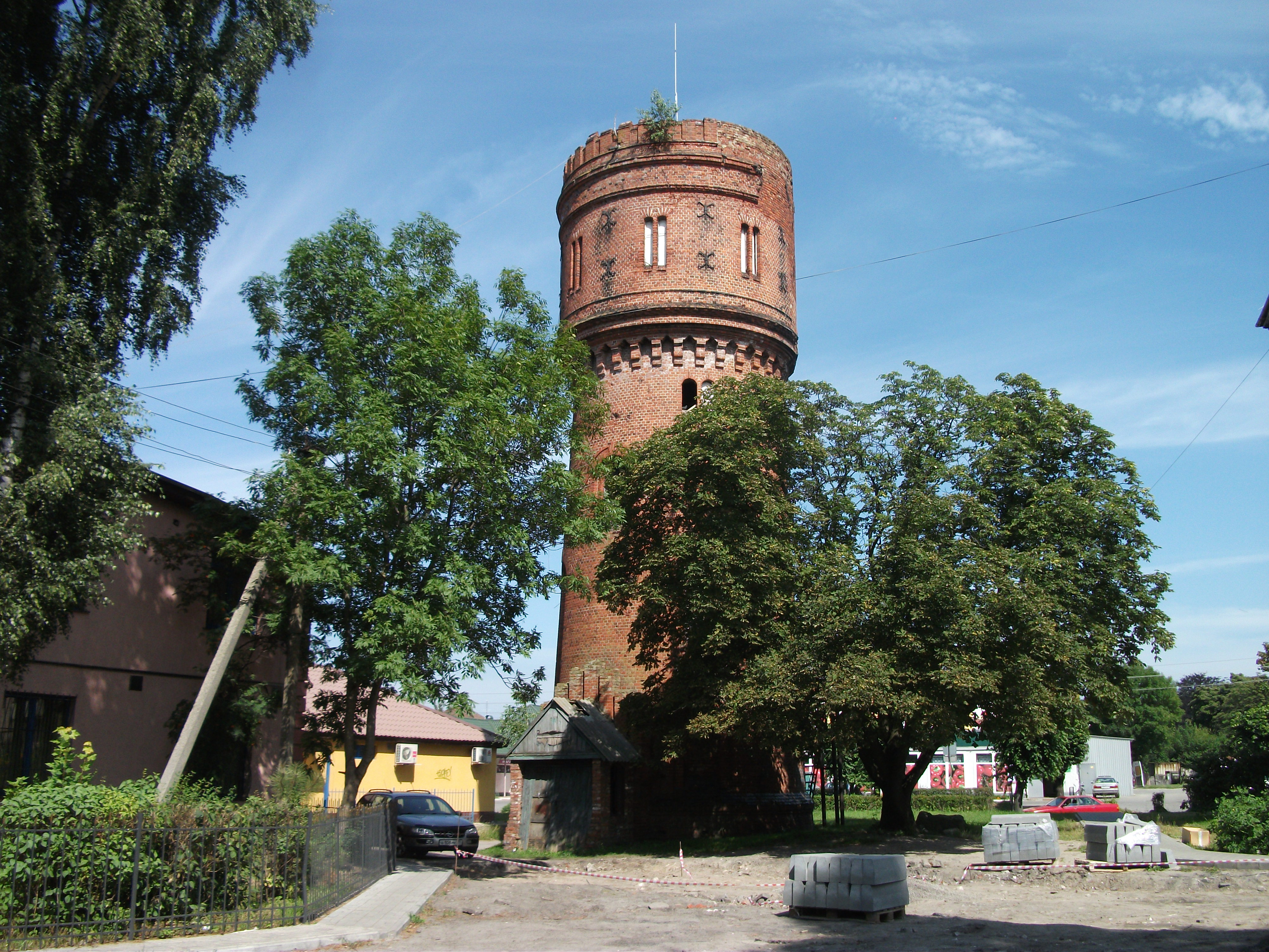 Water Tower, Mamonovo, Bagrationovsky District | |
 Flag  Coat of arms | |
 Location of Bagrationovsky District in Kaliningrad Oblast | |
| Coordinates: 54°33′N 20°23′E | |
| Country | Russia |
| Federal subject | Kaliningrad Oblast[1] |
| Established | 1946 |
| Administrative center | Bagrationovsk[2] |
| Area | |
| • Total | 1,146 km2 (442 sq mi) |
| Population (2010 Census)[4] | |
| • Total | 32,352 |
| • Estimate (2018)[5] | 33,177 (+2.6%) |
| • Density | 28/km2 (73/sq mi) |
| • Urban | 19.8% |
| • Rural | 80.2% |
| Administrative structure | |
| • Administrative divisions | 1 Towns of district significance, 4 Rural okrugs |
| • Inhabited localities[2] | 1 Cities/towns, 87 Rural localities |
| Municipal structure | |
| • Municipally incorporated as | Bagrationovsky Municipal District[6] |
| • Municipal divisions[6] | 1 Urban settlements, 4 Rural settlements |
| Website | http://bagrationovsk-mo.ru/ |
Geography
The district is one of the westernmost in Kaliningrad Oblast. It is situated south of Kaliningrad at the border with Poland and is sparsely populated.
The former Prussian Eastern Railway runs through the district along the Baltic coast, connecting the city of Kaliningrad with Gdańsk in Poland. Another line, the former East Prussian Southern Railway, connects Kaliningrad with Polish Bartoszyce via Bagrationovsk; however, passenger service was discontinued in 2011. Two major roads, the R516 (part of the former Berlinka autobahn) and the A195, also lead through Bagrationovsky District to the Polish border.
The most important river in the district is the Prokhladnaya, which mouths into Vistula Lagoon.
Partnerships
The district is in partnership with Verden District in Lower Saxony, Germany.
References
Notes
- Law #463
- Resolution #639
- "General Information" (in Russian). Bagrationovsky District. Retrieved August 31, 2016.
- Russian Federal State Statistics Service (2011). Всероссийская перепись населения 2010 года. Том 1 [2010 All-Russian Population Census, vol. 1]. Всероссийская перепись населения 2010 года [2010 All-Russia Population Census] (in Russian). Federal State Statistics Service.
- "26. Численность постоянного населения Российской Федерации по муниципальным образованиям на 1 января 2018 года". Federal State Statistics Service. Retrieved January 23, 2019.
- Law #253
- Russian Federal State Statistics Service (May 21, 2004). Численность населения России, субъектов Российской Федерации в составе федеральных округов, районов, городских поселений, сельских населённых пунктов – районных центров и сельских населённых пунктов с населением 3 тысячи и более человек [Population of Russia, Its Federal Districts, Federal Subjects, Districts, Urban Localities, Rural Localities—Administrative Centers, and Rural Localities with Population of Over 3,000] (XLS). Всероссийская перепись населения 2002 года [All-Russia Population Census of 2002] (in Russian).
- Всесоюзная перепись населения 1989 г. Численность наличного населения союзных и автономных республик, автономных областей и округов, краёв, областей, районов, городских поселений и сёл-райцентров [All Union Population Census of 1989: Present Population of Union and Autonomous Republics, Autonomous Oblasts and Okrugs, Krais, Oblasts, Districts, Urban Settlements, and Villages Serving as District Administrative Centers]. Всесоюзная перепись населения 1989 года [All-Union Population Census of 1989] (in Russian). Институт демографии Национального исследовательского университета: Высшая школа экономики [Institute of Demography at the National Research University: Higher School of Economics]. 1989 – via Demoscope Weekly.
Sources
- Калининградская областная Дума. Закон №463 от 27 мая 2010 г. «Об административно-территориальном устройстве Калининградской области», в ред. Закона №450 от 3 июля 2015 г. «О внесении изменений в Закон Калининградской области "Об административно-территориальном устройстве Калининградской области"». Вступил в силу со дня официального опубликования. Опубликован: "Калининградская правда" (вкладыш "Ведомости Правительства Калининградской области"), №112, 26 июня 2010 г. (Kaliningrad Oblast Duma. Law #463 of May 27, 2010 On the Administrative-Territorial Structure of Kaliningrad Oblast, as amended by the Law #450 of July 3, 2015 On Amending the Law of Kaliningrad Oblast "On the Administrative-Territorial Structure of Kaliningrad Oblast". Effective as of the day of the official publication.).
- Правительство Калининградской области. Постановление №640 от 30 августа 2011 г. «Об утверждении реестра объектов административно-территориального деления Калининградской области», в ред. Постановления №877 от 21 ноября 2011 г «О внесении изменения в Постановление Правительства Калининградской области от 30 августа 2011 г. №640». Вступил в силу со дня официального опубликования. Опубликован: "Калининградская правда" (вкладыш "Официально"), №170, 15 сентября 2011 г. (Government of Kaliningrad Oblast. Resolution #640 of August 30, 2011 On the Adoption of the Registry of the Objects of the Administrative-Territorial Divisions of Kaliningrad Oblast, as amended by the Resolution #877 of November 21, 2011 On Amending the Resolution of the Government of Kaliningrad Oblast #640 of August 30, 2011. Effective as of the day of the official publication.).
- Калининградская областная Дума. Закон №253 от 30 июня 2008 г. «Об организации местного самоуправления на территории муниципального образования "Багратионовский городской округ"», в ред. Закона №428 от 12 апреля 2010 г «Об изменении границ муниципальных образований». Вступил в силу со дня официального опубликования. Опубликован: "Калининградская правда", №124, 11 июля 2008 г. (Kaliningrad Oblast Duma. Law #253 of June 30, 2008 On the Organization of the Local Self-Government on the Territory of the Municipal Formation of "Bagrationovsky Urban Okrug", as amended by the Law #428 of April 12, 2010 On Changing the Borders of the Municipal Formations. Effective as of the day of the official publication.).
На других языках
[de] Rajon Bagrationowsk
Der Rajon Bagrationowsk ist eine Verwaltungseinheit in der russischen Oblast Kaliningrad. Er befindet sich im Südwesten der Oblast.- [en] Bagrationovsky District
[ru] Багратионовский район
Багратио́новский райо́н — административно-территориальная единица (административный район)[5] в Калининградской области России. Ему соответствовал до 1 января 2022 года муниципальное образование Багратионовский городской округ, с 1 января 2022 года муниципальный округ[6][7].Другой контент может иметь иную лицензию. Перед использованием материалов сайта WikiSort.org внимательно изучите правила лицензирования конкретных элементов наполнения сайта.
WikiSort.org - проект по пересортировке и дополнению контента Википедии