world.wikisort.org - Philippines
Palanan, officially the Municipality of Palanan (Ilocano: Ili ti Palanan; Tagalog: Bayan ng Palanan), is a 1st class municipality in the province of Isabela, Philippines. According to the 2020 census, it has a population of 17,684 people. [3]
Palanan | |
|---|---|
Municipality | |
| Municipality of Palanan | |
 Aerial view of Palanan after Super Typhoon Megi (PAGASA name:Juan) | |
 Seal | |
 Map of Isabela with Palanan highlighted | |
OpenStreetMap  | |
 Palanan Location within the Philippines | |
| Coordinates: 17°03′32″N 122°25′48″E | |
| Country | Philippines |
| Region | Cagayan Valley |
| Province | Isabela |
| District | 2nd district |
| Founded | 1823 |
| Barangays | 17 (see Barangays) |
| Government | |
| • Type | Sangguniang Bayan |
| • Mayor | Elizabeth B. Ochoa |
| • Vice Mayor | Jimmy B. Gonzales |
| • Representative | Ed Christopher S. Go |
| • Electorate | 12,583 voters (2022) |
| Area | |
| • Total | 880.24 km2 (339.86 sq mi) |
| Elevation | 52 m (171 ft) |
| Highest elevation | 273 m (896 ft) |
| Lowest elevation | 0 m (0 ft) |
| Population | |
| • Total | 17,684 |
| • Density | 20/km2 (52/sq mi) |
| • Households | 4,537 |
| Economy | |
| • Income class | 1st municipal income class |
| • Poverty incidence | 31.30% (2018)[4] |
| • Revenue | ₱233,557,565.77 (2020) |
| • Assets | ₱359,034,215.87 (2020) |
| • Expenditure | ₱191,170,035.28 (2020) |
| • Liabilities | ₱28,066,647.29 (2020) |
| Service provider | |
| • Electricity | Isabela 2 Electric Cooperative (ISELCO 2) |
| Time zone | UTC+8 (PST) |
| ZIP code | 3334 |
| PSGC | |
| IDD : area code | +63 (0)78 |
| Native languages | Paranan Ibanag Ilocano Paranan Agta Tagalog |
| Website | www |
It was in Palanan that one of the final chapters of the Philippine–American War was written on March 23, 1901, when General Emilio Aguinaldo was captured by American forces led by General Frederick Funston, who had gained access to Aguinaldo's camp by pretending to surrender to the Filipinos.
Geography
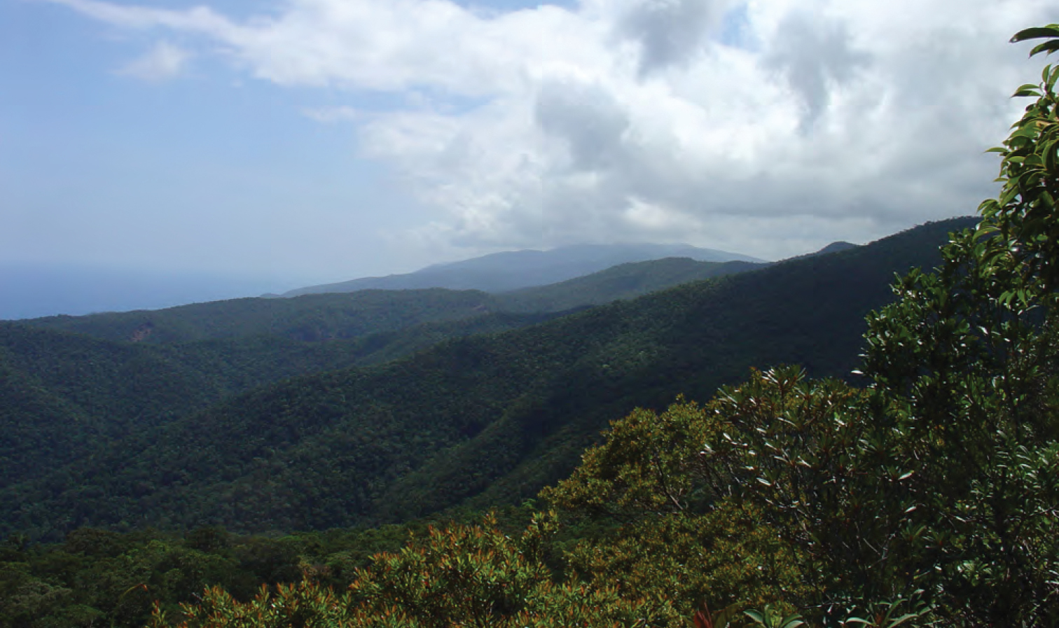
Palanan is one of the four remote and isolated coastal towns of Isabela facing the Philippine Sea on the east and separated from the rest of the province by the Sierra Madre Mountains. It is also a suburb of Ilagan City, the provincial capital. There are no roads that connects the town to the rest of province. It can only be reached by a plane or boat ride, or a multi-day hike from the town of San Mariano, also a suburb of Ilagan City.[5]
Barangays
Palanan is politically subdivided into 17 barangays. [6] These barangays are headed by elected officials: Barangay Captain, Barangay Council, whose members are called Barangay Councilors. All are elected every three years.
- Alomanay
- Bisag
- Culasi
- Dialaoyao
- Dibewan
- Dicadyuan
- Dicotkotan
- Diddadungan
- Didyan
- Dimalicu-licu
- Dimasari
- Dimatican
- Ditambali
- Maligaya
- Marikit
- Centro East (Poblacion)
- Centro West (Poblacion)
Climate
| Climate data for Palanan, Isabela | |||||||||||||
|---|---|---|---|---|---|---|---|---|---|---|---|---|---|
| Month | Jan | Feb | Mar | Apr | May | Jun | Jul | Aug | Sep | Oct | Nov | Dec | Year |
| Average high °C (°F) | 27 (81) |
27 (81) |
29 (84) |
28 (82) |
27 (81) |
25 (77) |
26 (79) |
27 (81) |
31 (88) |
29 (84) |
27 (81) |
27 (81) |
28 (82) |
| Average low °C (°F) | 20 (68) |
20 (68) |
21 (70) |
20 (68) |
21 (70) |
20 (68) |
21 (70) |
22 (72) |
23 (73) |
23 (73) |
21 (70) |
21 (70) |
21 (70) |
| Average precipitation mm (inches) | 162 (6.4) |
156 (6.1) |
90 (3.5) |
60 (2.4) |
144 (5.7) |
201 (7.9) |
159 (6.3) |
108 (4.3) |
111 (4.4) |
237 (9.3) |
276 (10.9) |
171 (6.7) |
1,875 (73.9) |
| Average rainy days | 14 | 12 | 11 | 11 | 16 | 19 | 16 | 14 | 16 | 18 | 18 | 15 | 180 |
| Source: World Weather Online (modeled/calculated data, not measured locally)[7] | |||||||||||||
Demographics
| Year | Pop. | ±% p.a. |
|---|---|---|
| 1903 | 1,080 | — |
| 1918 | 2,410 | +5.50% |
| 1939 | 3,109 | +1.22% |
| 1948 | 4,045 | +2.97% |
| 1960 | 5,599 | +2.75% |
| 1970 | 7,518 | +2.99% |
| 1975 | 8,930 | +3.51% |
| 1980 | 10,295 | +2.88% |
| 1990 | 11,431 | +1.05% |
| 1995 | 13,220 | +2.76% |
| 2000 | 15,317 | +3.21% |
| 2007 | 16,254 | +0.82% |
| 2010 | 16,094 | −0.36% |
| 2015 | 17,260 | +1.34% |
| 2020 | 17,684 | +0.48% |
| Source: Philippine Statistics Authority [8] [9] [10][11] | ||
In the 2020 census, the population of Palanan, Isabela, was 17,684 people, [3] with a density of 20 inhabitants per square kilometre or 52 inhabitants per square mile.
Economy
Government
Local government
The municipality is governed by a mayor designated as its local chief executive and by a municipal council as its legislative body in accordance with the Local Government Code. The mayor, vice mayor, and the councilors are elected directly by the people through an election which is being held every three years.
Elected officials
| Position | Name |
|---|---|
| Congressman | Ed Christopher S. Go |
| Mayor | Elizabeth B. Ochoa |
| Vice-Mayor | Jimmy B. Gonzales |
| Councilors | Ronnie A. Atienza |
| Pacita Q. Atanacio | |
| Michael John D. Bernardo | |
| Robert B. Neri | |
| Earl John Angelo S. Bernardo | |
| Crisel S. Dela Peña | |
| Gloria D. Cauilan | |
| Theo Angelo A. Garcia | |
Congress representation
Palanan, belonging to the second legislative district of the province of Isabela, currently represented by Hon. Ed Christopher S. Go.
Education
The Schools Division of Isabela governs the town's public education system.[20] The division office is a field office of the DepEd in Cagayan Valley region.[21] The office governs the public and private elementary and public and private high schools throughout the municipality.
Infrastructure

The most common forms of transportation in Palanan are by horses, motorcycles, tricycles, or an improvised motorcycles called kuligligs.[5][22] Due to its isolation, the town can be reached quickest by a 23-30 minute flight in a six-seater, single-engine Cyclone Air Cessna commuter plane from Cauayan City. Palanan is served by the Palanan Municipal Airport.[5][22]
By water, a boat ride from the neighboring town of Divilacan or in the towns of Dingalan and Baler in Aurora province in the south usually takes about two to three (2-3) hours and six to seven (6-7) hours, respectively.[22]
By land, Palanan can also be reached by hiking over the Sierra Madres from the neighboring town of San Mariano, which could take about three to five days.[23]
References
- Municipality of Palanan | (DILG)
- "2015 Census of Population, Report No. 3 – Population, Land Area, and Population Density" (PDF). Philippine Statistics Authority. Quezon City, Philippines. August 2016. ISSN 0117-1453. Archived (PDF) from the original on May 25, 2021. Retrieved July 16, 2021.
- Census of Population (2020). "Region II (Cagayan Valley)". Total Population by Province, City, Municipality and Barangay. PSA. Retrieved 8 July 2021.
- "PSA Releases the 2018 Municipal and City Level Poverty Estimates". Philippine Statistics Authority. 15 December 2021. Retrieved 22 January 2022.
- Christian (2011-06-13). "Palanan and Maconacon". Off the Beaten Track in the Philippines. Retrieved on 2014-09-28.
- "Province: Isabela". PSGC Interactive. Quezon City, Philippines: Philippine Statistics Authority. Retrieved 12 November 2016.
- "Palanan, Isabela: Average Temperatures and Rainfall". World Weather Online. Retrieved 31 October 2015.
- Census of Population (2015). "Region II (Cagayan Valley)". Total Population by Province, City, Municipality and Barangay. PSA. Retrieved 20 June 2016.
- Census of Population and Housing (2010). "Region II (Cagayan Valley)". Total Population by Province, City, Municipality and Barangay. NSO. Retrieved 29 June 2016.
- Censuses of Population (1903–2007). "Region II (Cagayan Valley)". Table 1. Population Enumerated in Various Censuses by Province/Highly Urbanized City: 1903 to 2007. NSO.
- "Province of Isabela". Municipality Population Data. Local Water Utilities Administration Research Division. Retrieved 17 December 2016.
- "Poverty incidence (PI):". Philippine Statistics Authority. Retrieved 28 December 2020.
- https://psa.gov.ph/sites/default/files/NSCB_LocalPovertyPhilippines_0.pdf; publication date: 29 November 2005; publisher: Philippine Statistics Authority.
- https://psa.gov.ph/sites/default/files/2003%20SAE%20of%20poverty%20%28Full%20Report%29_1.pdf; publication date: 23 March 2009; publisher: Philippine Statistics Authority.
- https://psa.gov.ph/sites/default/files/2006%20and%202009%20City%20and%20Municipal%20Level%20Poverty%20Estimates_0_1.pdf; publication date: 3 August 2012; publisher: Philippine Statistics Authority.
- https://psa.gov.ph/sites/default/files/2012%20Municipal%20and%20City%20Level%20Poverty%20Estima7tes%20Publication%20%281%29.pdf; publication date: 31 May 2016; publisher: Philippine Statistics Authority.
- https://psa.gov.ph/sites/default/files/City%20and%20Municipal-level%20Small%20Area%20Poverty%20Estimates_%202009%2C%202012%20and%202015_0.xlsx; publication date: 10 July 2019; publisher: Philippine Statistics Authority.
- "PSA Releases the 2018 Municipal and City Level Poverty Estimates". Philippine Statistics Authority. 15 December 2021. Retrieved 22 January 2022.
- "2019 National and Local Elections" (PDF). Commission on Elections. Retrieved March 7, 2022.
{{cite web}}: CS1 maint: url-status (link) - "HISTORY OF DEPED-ISABELA". DepED Isabela | The official website of DepED Schools Division of Isabela. Retrieved March 13, 2022.
{{cite web}}: CS1 maint: url-status (link) - "DEPED REGIONAL OFFICE NO. 02". DepED RO2 | The official website of DepED Regional Office No. 02.
{{cite web}}: CS1 maint: url-status (link) - Jay (2013-01-09). "Palanan - Isabela's Best Kept Secrets". Lets Go Philippines. Retrieved on 2014-09-28.
- "The Palanan Trails". Waypoint.PH. Retrieved on 2014-09-28.
External links
- Municipal Profile at the National Competitiveness Council of the Philippines
- Palanan at the Isabela Government Website
- Local Governance Performance Management System
- Philippine Standard Geographic Code
- Philippine Census Information
- Municipality of Palanan
Places adjacent to Palanan | |
|---|---|
Ilagan (capital) | |
| Municipalities |
|
| Component Cities | |
| Independent Component City |
|
| Barangays | See: List of barangays in Isabela |
Authority control | |
|---|---|
| General |
|
| National libraries | |
На других языках
[de] Palanan
Palanan (Filipino: Bayan ng Palanan) ist eine philippinische Stadtgemeinde in der Provinz Isabela, Verwaltungsregion II, Cagayan Valley. Sie hat 17.260 Einwohner (Zensus 1. August 2015), die in 17 Barangays lebten. Sie wird als Gemeinde der ersten Einkommensklasse auf den Philippinen und als teilweise urbanisiert eingestuft.- [en] Palanan
Другой контент может иметь иную лицензию. Перед использованием материалов сайта WikiSort.org внимательно изучите правила лицензирования конкретных элементов наполнения сайта.
WikiSort.org - проект по пересортировке и дополнению контента Википедии