world.wikisort.org - Philippines
Marikina Heights is one of the barangays of Marikina measuring some 184.16 hectares (455.1 acres). Once a privately owned hacienda, it is now populated by 35,416 people according to the 2010 National Census.[1]
This article needs additional citations for verification. (May 2022) |
Marikina Heights | |
|---|---|
Barangay | |
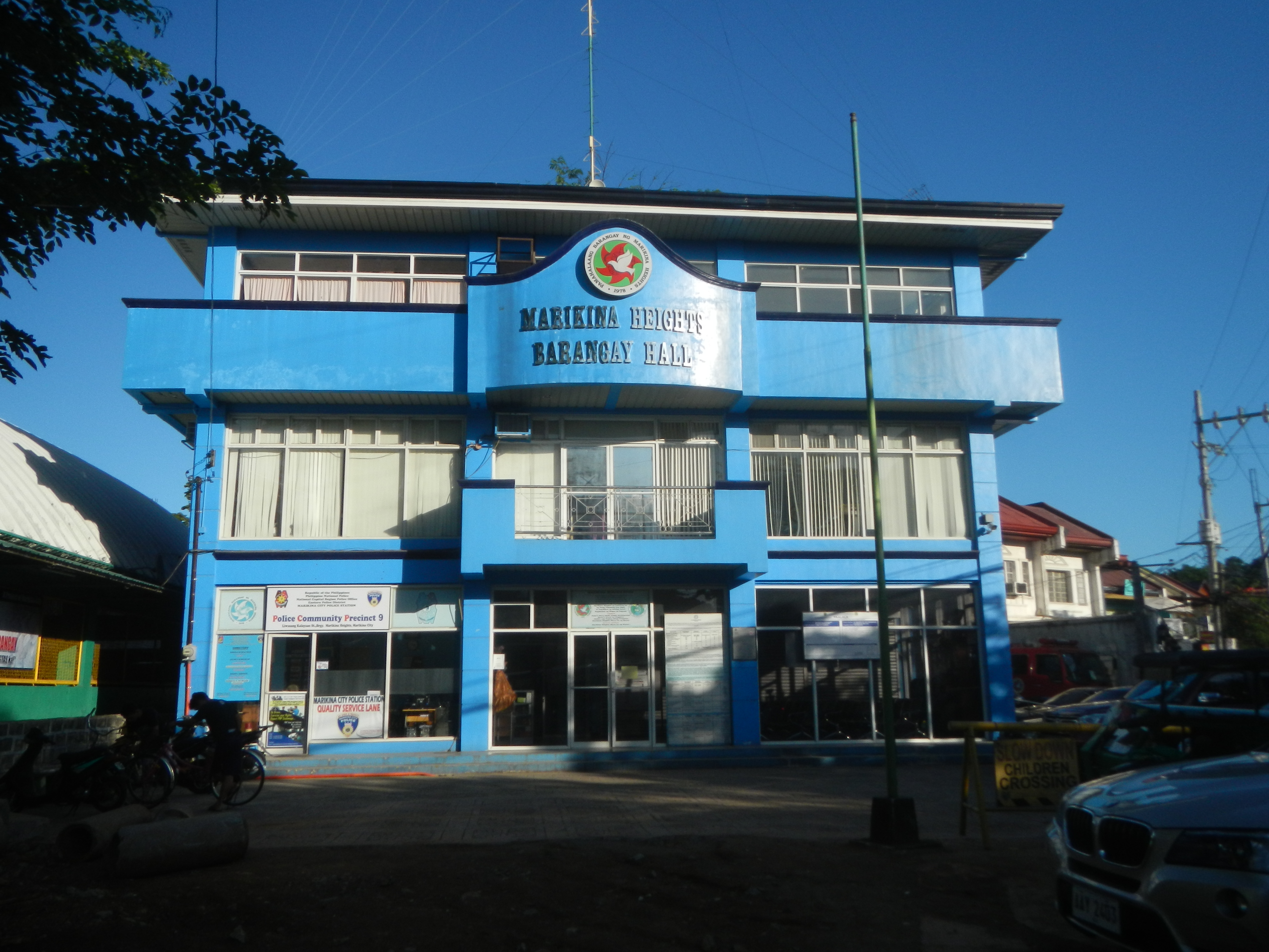 Marikina Heights Barangay Hall | |
 | |
 Marikina Heights | |
| Coordinates: 14°39′12.2″N 121°7′7.49″E | |
| Country | Philippines |
| Region | National Capital Region |
| City | Marikina |
| District | 2nd Legislative district of Marikina |
| Government | |
| • Type | Barangay |
| • Barangay Captain | Miguel Punzalan Jr. |
| Population (2012) | |
| • Total | 40,967 |
| Time zone | UTC+8 (PST) |
| Postal Code | 1810 |
| Area code | 02 |

History
Before becoming a barangay in 1978, Marikina Heights started out as a grazing and pasture land for carabaos, cows, goats and horses. Because it was owned by the Tuason family, the Marikina Dairy Farm was established in what was now known as C&P Mall, Palmera Homes and the Tanseco Residence.[2]

During the Japanese occupation, Marikina Heights became a vital military location as the Imperial soldiers dug through parts of the area leading to Paliparan, Sto. Nino and Concepcion where the airfields are situated. One of the said tunnels lies underneath a police sub-station along Bayan-Bayanan Avenue. When the combined Filipino and American troops retaken in Marikina Heights was defeat by the Japanese during the Allied liberation and ended in World War II.
Due to the land's terrain which resembles the highlands of South Korea, the area also became a training ground for Filipino soldiers prior to their deployment in the Korean War, thus earning the nickname "Mari-Korea".
The late 1950s witnessed the growth of the area as the Tuasons decided to develop their landholdings into the Marikina Heights subdivision. Finally, on April 2, 1978, President Ferdinand Marcos signed the Presidential Decree No. 1489, declaring Marikina Heights as another barangay in Marikina's growing populace.[3]
Present day
Marikina Heights is now a lush barangay with many trees and maintained parks. Marikina's best exclusive schools are in this barangay; St. Scholastica's Academy Marikina (for girls) and Marist School (for boys). Ayala Malls Marikina, opened in 2017, is located here and along side it is the C&B Circle Mall Marikina.


Marikina Heights is also now a developing community. Numerous commercial and modern residencial developments have been pooping up like Michelia Residences along Gen.Ordonez.
References
- "2010 Census of National Population and Housing" (PDF). National Statistics Office. Archived from the original (PDF) on November 13, 2014. Retrieved May 31, 2014.
- Paulate, Monette (April 2013). Marikina 1630. Marikina City Library.
- Presidential Decree No. 1849 (2 April 1978), Creating Barangay Marikina Heights in the Municipality of Marikina, Metro-Manila, retrieved August 3, 2022
Cities and municipalities | |||||||||
| |||||||||
| |||||||||
See also: Administrative divisions of Metro Manila | |||||||||
This article about a location in Metropolitan Manila (NCR) is a stub. You can help Wikipedia by expanding it. |
Другой контент может иметь иную лицензию. Перед использованием материалов сайта WikiSort.org внимательно изучите правила лицензирования конкретных элементов наполнения сайта.
WikiSort.org - проект по пересортировке и дополнению контента Википедии