world.wikisort.org - Peru
San Juan de Tarucani District (Aymara Tarujani, taruja deer,[1] -ni a suffix, "the one with deer") is one of 29 districts of the province Arequipa in Peru.[2]
San Juan de Tarucani
Tarujani | |
|---|---|
District | |
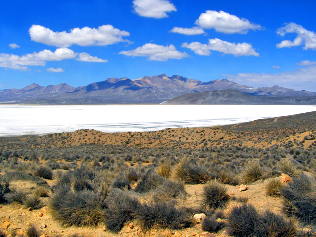 Lake Salinas, Tarucani District | |
| Country | |
| Region | Arequipa |
| Province | Arequipa |
| Founded | June 15, 1962 |
| Capital | Tarucani |
| Government | |
| • Mayor | Floro Choque Vilca |
| Area | |
| • Total | 2,264.59 km2 (874.36 sq mi) |
| Elevation | 4,210 m (13,810 ft) |
| Population (2005 census) | |
| • Total | 2,296 |
| • Density | 1.0/km2 (2.6/sq mi) |
| Time zone | UTC-5 (PET) |
| UBIGEO | 040119 |
Geography
The highest elevation of the district is the Misti volcano at 5,822 m (19,101 ft). Other mountains are listed below:[3]
- Anta Q'awa
- Anta Saya
- Chachakumani
- Chawpi Pampa
- Ichhu Muqu
- Iru Chaka
- Iru Qullu
- Janq'u Apachita
- Janq'uri
- Japu Sura
- Jayuni
- Jichu Qullu
- Kinwani
- Kunturi
- Kunturini
- Llallawi
- Llallawani
- Misa Misani
- Misa Pilluni
- Muru Qullu
- Ñuñu Muqu
- Pachakutiq
- Palumani
- Parwayuni
- Pikchu Pikchu
- Pilluni
- Pirwani
- Puka Apachita
- Puka Kancha
- Puka Muqu
- Puka Pukayuq
- Puka Urqu
- Pukara
- Puka Saya
- Phichunchäni
- Qayqu
- Qillqata
- Qiñwani
- Qiwlla Pununa
- Qullpani
- Qullqirani
- Quri Mit'a
- Q'irayuq
- Salla Chaka
- Saywa
- Saywani
- Sinqa
- Sura Wañusqa
- Surallayuq
- Suri Wasi
- Takuni
- Turi Qaqa
- Turini
- T'ula Muqu
- Usqulluni
- Wanqarani
- Wanq'uni
- Wayllani
- Wayra Pata
- Wila Muqu
- Wila Muru Muru
- Wila Wila
- Wilani
- Yana Salla
- Yaritayuq
- Yuraq Pilluni
- Yuraq Urqu
See also
- Chinaqucha
- Lake Salinas
- Salinas and Aguada Blanca National Reservation
- Urququcha
References
- Radio San Gabriel, "Instituto Radiofonico de Promoción Aymara" (IRPA) 1993, Republicado por Instituto de las Lenguas y Literaturas Andinas-Amazónicas (ILLLA-A) 2011, Transcripción del Vocabulario de la Lengua Aymara, P. Ludovico Bertonio 1612 (Spanish-Aymara-Aymara-Spanish dictionary)
- (in Spanish) Instituto Nacional de Estadística e Informática. Banco de Información Distrital Archived 2008-04-23 at the Wayback Machine. Retrieved April 11, 2008.
- escale.minedu.gob.pe - UGEL map of the General Sánchez Cerro (Moquegua Region)
| |
|---|---|
| Arequipa |
|
| Camaná |
|
| Caravelí | |
| Castilla |
|
| Caylloma | |
| Condesuyos |
|
| Islay |
|
| La Unión |
|
This Arequipa Region geography article is a stub. You can help Wikipedia by expanding it. |
На других языках
- [en] San Juan de Tarucani District
[es] Distrito de San Juan de Tarucani
El distrito de San Juan de Tarucani es uno de los veintinueve que conforman la provincia de Arequipa, ubicada en el departamento de Arequipa, en el Sur del Perú.[1]Текст в блоке "Читать" взят с сайта "Википедия" и доступен по лицензии Creative Commons Attribution-ShareAlike; в отдельных случаях могут действовать дополнительные условия.
Другой контент может иметь иную лицензию. Перед использованием материалов сайта WikiSort.org внимательно изучите правила лицензирования конкретных элементов наполнения сайта.
Другой контент может иметь иную лицензию. Перед использованием материалов сайта WikiSort.org внимательно изучите правила лицензирования конкретных элементов наполнения сайта.
2019-2026
WikiSort.org - проект по пересортировке и дополнению контента Википедии
WikiSort.org - проект по пересортировке и дополнению контента Википедии