world.wikisort.org - Peru
Chuquibambilla District is one of the fourteen districts of the Grau Province in Peru.[1]
Chuquibambilla District | |
|---|---|
District | |
 | |
| Country | |
| Region | Apurímac |
| Province | Grau |
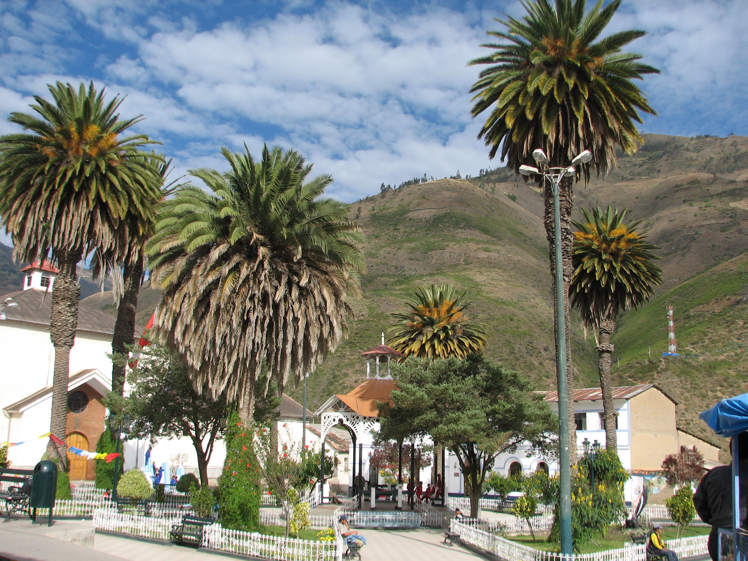
| Capital | Chuquibambilla |
| Government | |
| • Mayor | Wilfredo Pareja Ayerve |
| Area | |
| • Total | 432.5 km2 (167.0 sq mi) |
| Elevation | 3,320 m (10,890 ft) |
| Population (2005 census) | |
| • Total | 6,041 |
| • Density | 14/km2 (36/sq mi) |
| Time zone | UTC-5 (PET) |
| UBIGEO | 030701 |
Geography
One of the highest peaks of the district is Q'urawiri at approximately 5,000 m (16,000 ft). Other mountains are listed below:[2]
- Anta Pata
- Ch'aqu Urqu
- Ikma
- Lurituyuq
- Markayuq
- Nina Q'asa
- Pampa Urqu
- Puka Qaqa
- Pumani
- Puyani
- P'ukru
- Qillqas
- Qiwlla
- Qucha Pata
- Sasawini
- Suniq
- Suparawra
- Sura Pata
- Tipi Qucha
- T'uqu Pata
- Uqhu Pata
- Wayu
- Willka Marka
- Wisani
- Yana Qucha
- Yana Urqu
Ethnic groups
The people in the district are mainly indigenous citizens of Quechua descent. Quechua is the language which the majority of the population (61.60%) learnt to speak in childhood, 37.84% of the residents started speaking using the Spanish language (2007 Peru Census).[3]
See also
References
- (in Spanish) Instituto Nacional de Estadística e Informática. Banco de Información Digital Archived April 23, 2008, at the Wayback Machine. Retrieved April 7, 2008.
- escale.minedu.gob.pe/ UGEL map Grau Province (Apurimac Region)
- inei.gob.pe Archived January 27, 2013, at the Wayback Machine INEI, Peru, Censos Nacionales 2007, Frequencias: Preguntas de Población: Idioma o lengua con el que aprendió hablar (in Spanish)
| |
|---|---|
| Abancay | |
| Andahuaylas |
|
| Antabamba |
|
| Aymaraes |
|
| Chincheros | |
| Cotabambas | |
| Grau |
|
This Apurímac Region geography article is a stub. You can help Wikipedia by expanding it. |
Текст в блоке "Читать" взят с сайта "Википедия" и доступен по лицензии Creative Commons Attribution-ShareAlike; в отдельных случаях могут действовать дополнительные условия.
Другой контент может иметь иную лицензию. Перед использованием материалов сайта WikiSort.org внимательно изучите правила лицензирования конкретных элементов наполнения сайта.
Другой контент может иметь иную лицензию. Перед использованием материалов сайта WikiSort.org внимательно изучите правила лицензирования конкретных элементов наполнения сайта.
2019-2026
WikiSort.org - проект по пересортировке и дополнению контента Википедии
WikiSort.org - проект по пересортировке и дополнению контента Википедии