world.wikisort.org - Netherlands
Steenwijkerwold is a village in the Dutch province of Overijssel. It is located in the municipality of Steenwijkerland, about 5 km northwest of Steenwijk. Steenwijkerwold was a separate municipality until 1973, when it became a part of Steenwijk.[3]
Steenwijkerwold | |
|---|---|
Village | |
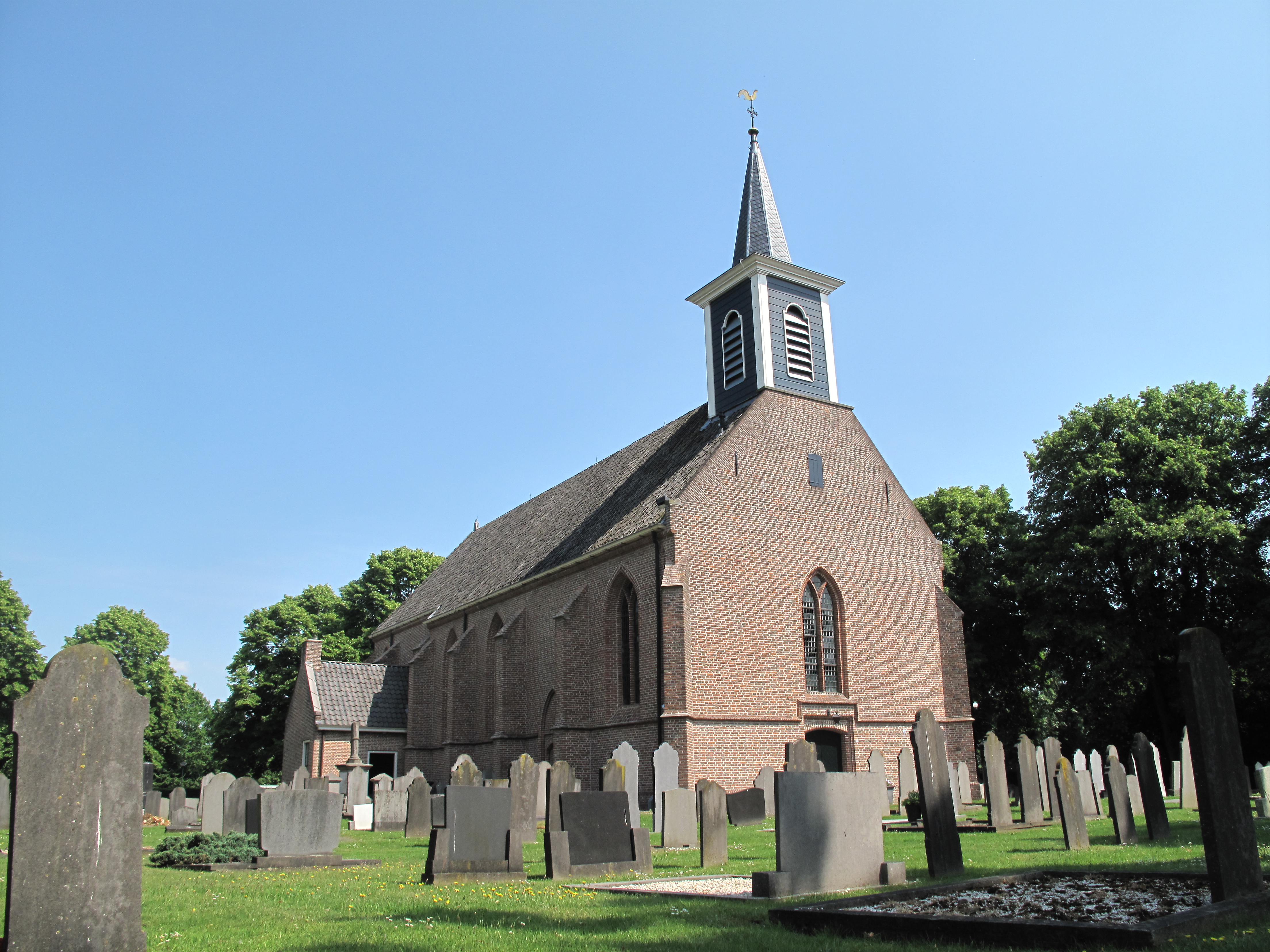 Hervormde Kerk, Steenwijkerwold | |
 Steenwijkerwold Location in the Netherlands  Steenwijkerwold Steenwijkerwold (Netherlands) | |
| Coordinates: 52°48′13″N 6°3′42″E | |
| Country | Netherlands |
| Province | Overijssel |
| Municipality | Steenwijkerland |
| Area | |
| • Total | 10.31 km2 (3.98 sq mi) |
| Elevation | 8 m (26 ft) |
| Population (2021)[1] | |
| • Total | 1,910 |
| • Density | 190/km2 (480/sq mi) |
| Time zone | UTC+1 (CET) |
| • Summer (DST) | UTC+2 (CEST) |
| Postal code | 8341[1] |
| Dialing code | 0521 |
| Major roads | A32 |
History
It was first mentioned in 1376 as Steenwickerwolde, and means forest near Steenwijk.[4] It developed when Kerkbuurt, Gendringen en Thij, three esdorp villages, merged. In 1401, a church was built, and the village became independent from the neighbouring city in 1543. The Dutch Reformed Church dates from the 15th century.[5] In 1840, it was home to 1,369 people.[6]
The dolmen (megalithic tomb) O1 used to be located in Steenwijkerwold. In 1781, it was in good condition and probably had 6 capstones. In the 1840s, it was thoroughly removed.[7]
Notable people
- Herman Nieweg (1932–1999), sculptor and ceramist.
- Josje Huisman (1986), singer, actress, dancer grew up in Steenwijkerwold
References
- "Kerncijfers wijken en buurten 2021". Central Bureau of Statistics. Retrieved 16 March 2022.
- "Postcodetool for 8341NA". Actueel Hoogtebestand Nederland (in Dutch). Het Waterschapshuis. Retrieved 16 March 2022.
- Ad van der Meer and Onno Boonstra, Repertorium van Nederlandse gemeenten, KNAW, 2011.
- "Steenwijkerwold - (geografische naam)". Etymologiebank (in Dutch). Retrieved 16 March 2022.
- Ronald Stenvert & Jan ten Hove (1998). "Steenwijkerwold" (in Dutch). Zwolle: Waanders. p. 259. ISBN 90 400 9200 1. Retrieved 16 March 2022.
- "Steenwijkerwold". Plaatsengids (in Dutch). Retrieved 16 March 2022.
- "O1/Steenwijkerwold (De Eese), gemeente Steenwijk". Hunebedden (in Dutch). Retrieved 16 March 2022.
External links
 Media related to Steenwijkerwold at Wikimedia Commons
| Authority control |
|
|---|
This Overijssel location article is a stub. You can help Wikipedia by expanding it. |
Другой контент может иметь иную лицензию. Перед использованием материалов сайта WikiSort.org внимательно изучите правила лицензирования конкретных элементов наполнения сайта.
WikiSort.org - проект по пересортировке и дополнению контента Википедии