world.wikisort.org - Netherlands
Ochten is a village in the Dutch province of Gelderland. It is a part of the municipality of Neder-Betuwe, and lies about 10 km southwest of Wageningen.
Ochten | |
|---|---|
Village | |
 Church of Ochten | |
 Ochten Location in the Netherlands  Ochten Ochten (Netherlands) | |
| Coordinates: 51°54′28″N 5°34′4″E | |
| Country | Netherlands |
| Province | Gelderland |
| Municipality | Neder-Betuwe |
| Area | |
| • Total | 11.52 km2 (4.45 sq mi) |
| Elevation | 7 m (23 ft) |
| Population (2021)[1] | |
| • Total | 5,050 |
| • Density | 440/km2 (1,100/sq mi) |
| Time zone | UTC+1 (CET) |
| • Summer (DST) | UTC+2 (CEST) |
| Postal code | 4051[1] |
| Dialing code | 0344 |
Ochten was a separate municipality until 1818, when it was divided into two parts, Echteld and IJzendoorn.[3]
History
It was first mentioned in the late 9th century as "in uilla Ovtun". The etymology is unclear.[4] Ochten developed along the Waal River.[5] It was an heerlijkheid of the Prince-Bishop of Utrecht until 1402 when it changed hands to the Duchy of Gelre. In 1712, it became a possession of Hohenzollern-Sigmaringen. In 1840, it was home to 820 people.[6]
In September 1944, Ochten became a battleground between the Germans and the Allies. Not a single houses remained undamaged, and more than half of the 400 buildings were damaged beyond repair. The emergency houses would continue to be used until 1973.[7] In 1995, the dike was about the break during high water. The entire village was evacuated and the army was called in to strengthen the dike. The entire embankment was later renewed and strengthened.[6]
Gallery
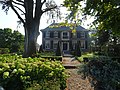 Villa Luitekamp
 Villa Sonnevanck
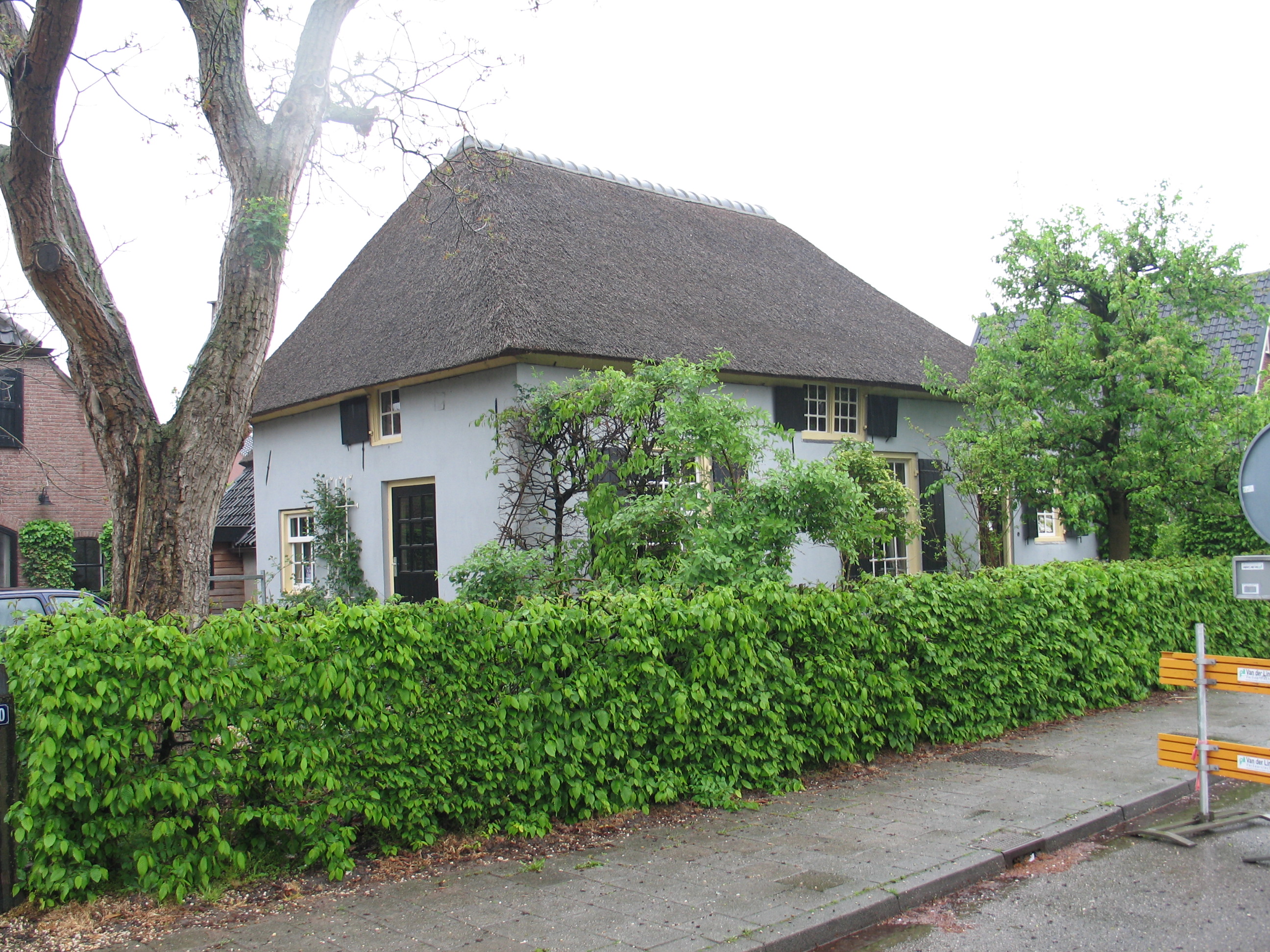
 Farm in Ochten
 Sunset on the Waal near Ochten


References
- "Kerncijfers wijken en buurten 2021". Central Bureau of Statistics. Retrieved 23 March 2022.
- "Postcodetool for 4051AA". Actueel Hoogtebestand Nederland (in Dutch). Het Waterschapshuis. Retrieved 23 March 2022.
- Ad van der Meer and Onno Boonstra, Repertorium van Nederlandse gemeenten, KNAW, 2011.
- "Ochten - (geografische naam)". Etymologiebank (in Dutch). Retrieved 23 March 2022.
- Ronald Stenvert & Sabine Broekhoven (2000). "Ochten" (in Dutch). Zwolle: Waanders. p. 137. ISBN 90 400 9406 3. Retrieved 23 March 2022.
- "Ochten". Plaatsengids (in Dutch). Retrieved 23 March 2022.
- "Korte geschiedenis van het dorp Ochten". Regionaal archief rivierenland (in Dutch). Retrieved 23 March 2022.
This Gelderland location article is a stub. You can help Wikipedia by expanding it. |
Другой контент может иметь иную лицензию. Перед использованием материалов сайта WikiSort.org внимательно изучите правила лицензирования конкретных элементов наполнения сайта.
WikiSort.org - проект по пересортировке и дополнению контента Википедии